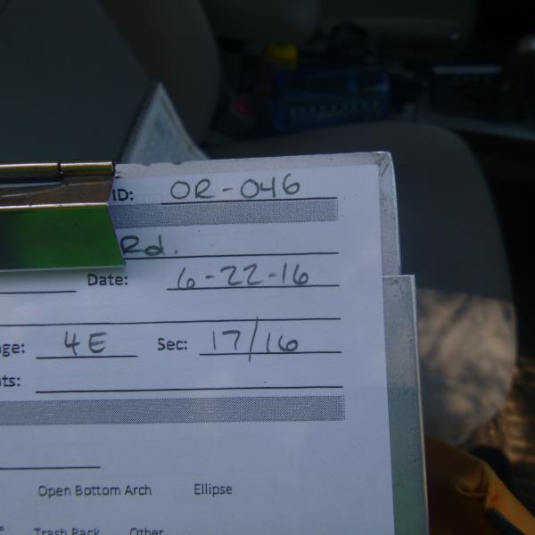
Road Stream Crossing Site CLHW_OR-046
Ocqueoc River Watershed, Silver Creek
N Curtis Rd
Moltke Twp,
Presque Isle County
Information collected by:
Site Location
GPS Coordinates: 45.41877
, -83.96881
T35N
R4E
Sec 17
Owned by Private
Fish Passability 0.9
Structure is NOT Perched
Total Erosion: 5.3388 tons/year
Severity: Severe
Year Inventoried: 2016
Site ID
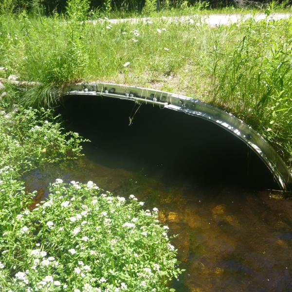
Inlet
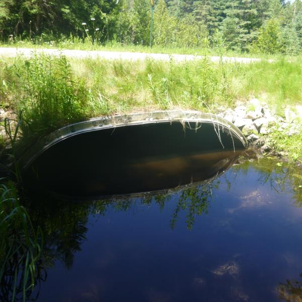
Outlet
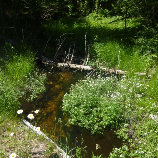
Upstream Conditions
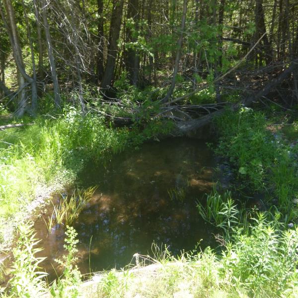
Downstream Conditions
Road Approach - Left
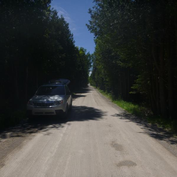
Road Approach - Right
Crossing Information
Type of Crossing: culvert(s)
Number of Structures: 1
Structure Shape: Open Bottom Arch
Inlet Type: Headwall
Outlet Type: At Stream Grade
Structure Material: Metal
Structure Substrate: Sand
General Conditions: Good
Structure Interior: smooth
Dimensions of Structure: Length 36 ft.
, Width 9 ft.
, Height 2.7 ft.
Percentage Plugged:
Inlet: 0%
Outlet: 0%
In Pipe: 1% to 25%
Structure is NOT Perched
Structure Inlet
Water Depth: 1.2 ft.
Embedded Depth of Structure: 0.2 ft.
Water Velocity*: 0.4 ft./sec.
Structure Outlet
Water Depth: 0.9 ft.
Embedded Depth of Structure: 0.2 ft.
Water Velocity*: 0.4 ft./sec.
*Water Velocities were measured at the Surface
(with Float Test)
Stream Information
Stream Flow: Less than 1/2 Bankfull
Riffle Information
Water Depth: 0.8 ft.
Bankfull Width: 21 ft.
Wetted Width: 15 ft.
Water Velocity: 0.9 ft./sec.
(Measured with Float Test)
Dominant Substrate: Cobble
Road Information
Gravel
County Road
Road Condition: Fair
Road Width at Culvert: 17 ft.
Location of Low Point: At Stream
Runoff Path: Ditch
Embankments
Upstream
Fill Depth: 1 ft.
Slope: More than 1:2
Downstream
Fill Depth: 1 ft.
Slope: More than 1:2
Approaches
Left Approach
Length: 1000 ft.
Slope: 1% to 5%
Vegetation: Heavy
LS Factor: 0.57
Erosion: 2.6694 tons/year
Right Approach
Length: 1000 ft.
Slope: 1% to 5%
Vegetation: Heavy
LS Factor: 0.57
Erosion: 2.6694 tons/year
Erosion Information
Total Erosion at Crossing: 5.3388 tons/year
Summary Information
Fish Passability 0.9
�