Road Stream Crossing Site CLHW_OR-050
Ocqueoc River Watershed, Unnamed stream
S Ward Branch Rd
Bismarck Twp,
Presque Isle County
Information collected by:
Site Location
GPS Coordinates: 45.36246
, -83.92608
T34N
R4E
Sec 3
Owned by Private
Structure is NOT Perched
Total Erosion: 1.773 tons/year
Severity: Moderate
Year Inventoried: 2016
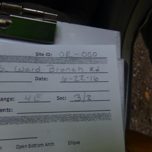
Site ID
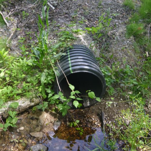
Inlet
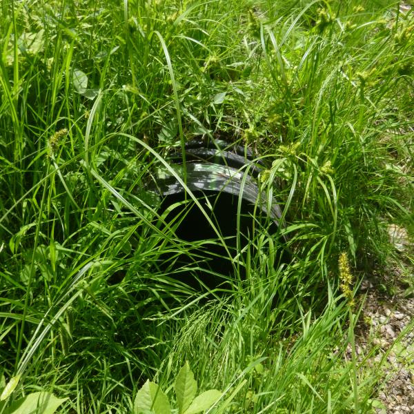
Outlet
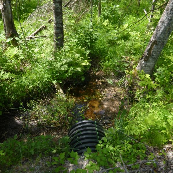
Upstream Conditions
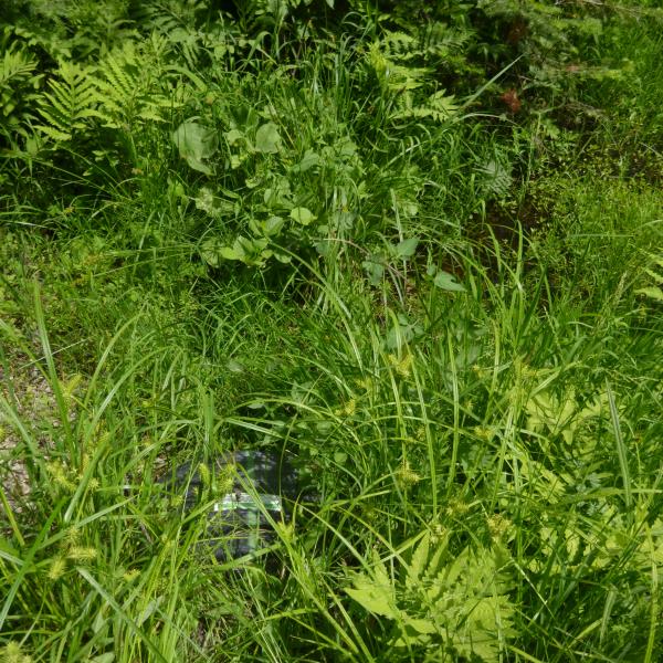
Downstream Conditions
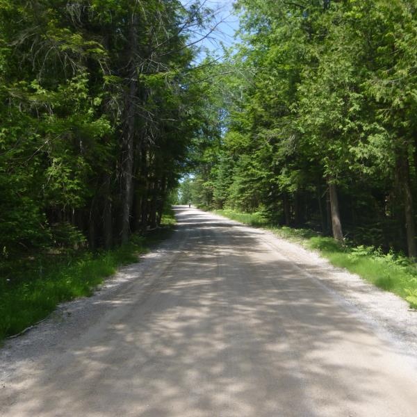
Road Approach - Left
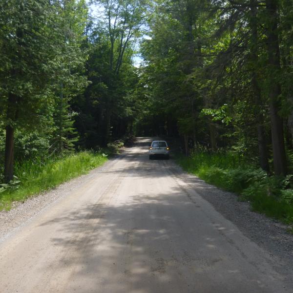
Road Approach - Right
Crossing Information
Type of Crossing: culvert(s)
Number of Structures: 1
Structure Shape: Round
Inlet Type: Projecting
Outlet Type: At Stream Grade
Structure Material: Plastic
Structure Substrate: None
General Conditions: Good
Structure Interior: corrugated
Dimensions of Structure: Length 35 ft.
, Width 1.6 ft.
, Height 1.6 ft.
Percentage Plugged:
Inlet: 0%
Outlet: 1% to 25%
In Pipe: 0%
Structure is NOT Perched
Water Depth: 0 ft.
Embedded Depth of Structure: 0 ft.
Water Velocity*: 0 ft./sec.
Structure Outlet
Water Depth: 0.1 ft.
Embedded Depth of Structure: 0 ft.
Water Velocity*: 0 ft./sec.
Additional Comments
No flow
Stream Information
Stream Flow: None
Road Information
Gravel
County Road
Road Condition: Fair
Road Width at Culvert: 14 ft.
Location of Low Point: At Stream
Runoff Path: Ditch
Embankments
Upstream
Fill Depth: 1 ft.
Slope: More than 1:2
Downstream
Fill Depth: 1 ft.
Slope: More than 1:2
Approaches
Left Approach
Length: 638 ft.
Slope: 1% to 5%
Vegetation: Heavy
LS Factor: 0.526
Erosion: 1.2935 tons/year
Right Approach
Length: 276 ft.
Slope: 1% to 5%
Vegetation: Heavy
LS Factor: 0.45
Erosion: 0.4794 tons/year
Erosion Information
Total Erosion at Crossing: 1.773 tons/year
Summary Information
�