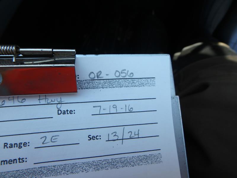
Road Stream Crossing Site CLHW_OR-056
Ocqueoc River Watershed, Unnamed stream
646 Hwy
Bearinger Twp,
Presque Isle County
Information collected by:
Site Location
GPS Coordinates: 45.49416
, -84.13143
T36N
R2W
Sec 13
Owned by State
Structure is NOT Perched
Total Erosion: 0.4145 tons/year
Severity: Minor
Year Inventoried: 2016
Site ID
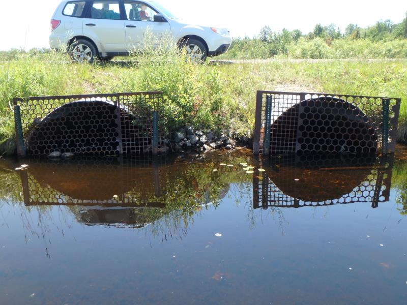
Inlet
Outlet
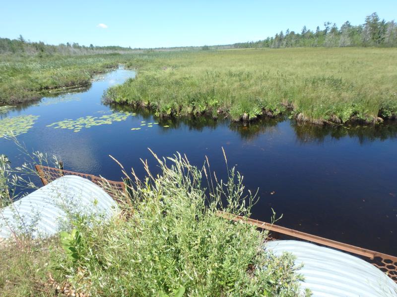
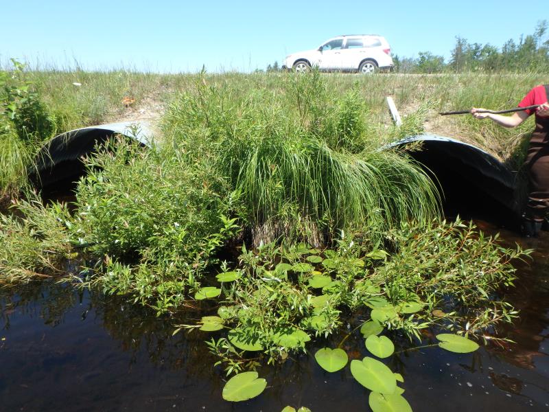
Upstream Conditions
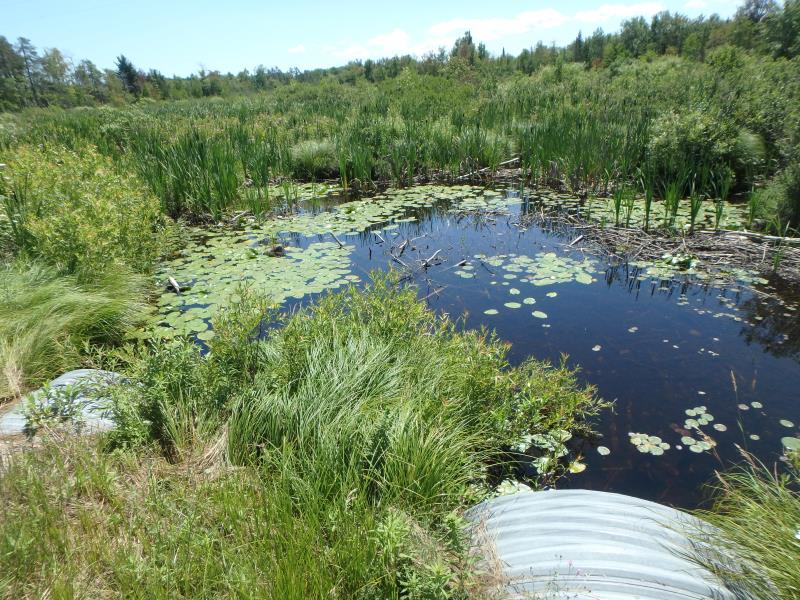
Downstream Conditions
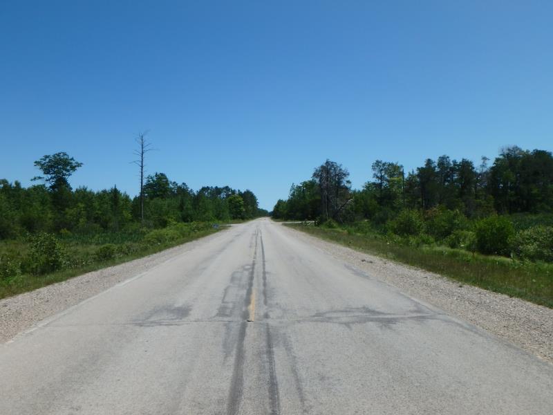
Road Approach - Left
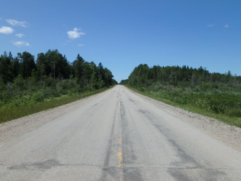
Road Approach - Right
Crossing Information
Type of Crossing: culvert(s)
Number of Structures: 2
Structure Shape: Pipe Arch
Inlet Type: Trash Rack
Outlet Type: At Stream Grade
Structure Material: Metal
Structure Substrate: None
General Conditions: Good
Multiple Culverts/Spans | ||||
Culvert/Span | Width | Length | Height | Material |
1 |
6.5 ft. |
60 ft. |
4.5 ft. |
Metal |
2 |
6.5 ft. |
60 ft. |
4.5 ft. |
Metal |
Structure Interior: corrugated
Structure is Rusted through
Dimensions of Structure: Length 60 ft.
, Width 6.5 ft.
, Height 4.5 ft.
Structure is NOT Perched
Structure Inlet
Water Depth: 1.9 ft.
Embedded Depth of Structure: 0 ft.
Water Velocity*: 0.1 ft./sec.
Structure Outlet
Water Depth: 1.4 ft.
Embedded Depth of Structure: 0.2 ft.
Water Velocity*: 0.1 ft./sec.
*Water Velocities were measured at the Surface
(with Float Test)
Additional Comments
Beaver activity upstream of here; substrate too unsteady to obtain riffle
Stream Information
Stream Flow: Less than 1/2 Bankfull
Road Information
Paved
County Road
Road Condition: Fair
Road Width at Culvert: 22 ft.
Location of Low Point: Other
Runoff Path: Ditch
Embankments
Upstream
Fill Depth: 2.2 ft.
Slope: More than 1:2
Downstream
Fill Depth: 2.5 ft.
Slope: More than 1:2
Approaches
Left Approach
Length: 0 ft.
Slope: 1% to 5%
Vegetation: Heavy
LS Factor: 0.26
Erosion: 0 tons/year
Right Approach
Length: 1000 ft.
Slope: 1% to 5%
Vegetation: Heavy
LS Factor: 0.57
Erosion: 0.4145 tons/year
Erosion Information
Total Erosion at Crossing: 0.4145 tons/year
Summary Information
�