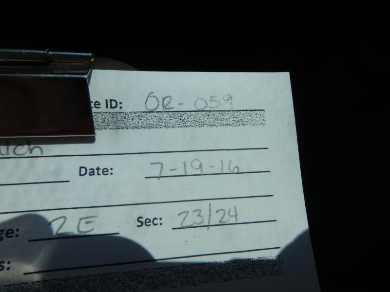
Road Stream Crossing Site CLHW_OR-059
Ocqueoc River Watershed, Unnamed stream
Balch Rd
Bearinger Twp,
Presque Isle County
Information collected by:
Site Location
GPS Coordinates: 45.48853
, -84.14694
T36N
R2E
Sec 23
Owned by Private
Structure is NOT Perched
Total Erosion: 0.584 tons/year
Severity: Minor
Year Inventoried: 2016
Site ID
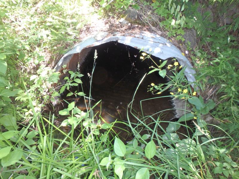
Inlet
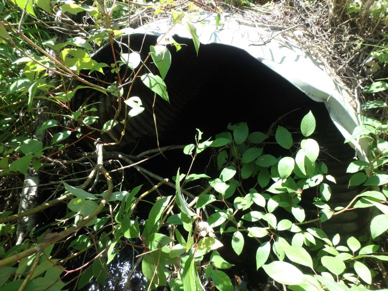
Outlet
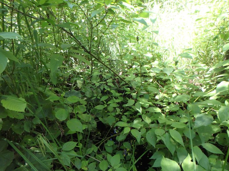
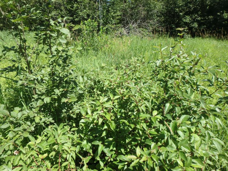
Upstream Conditions
Downstream Conditions
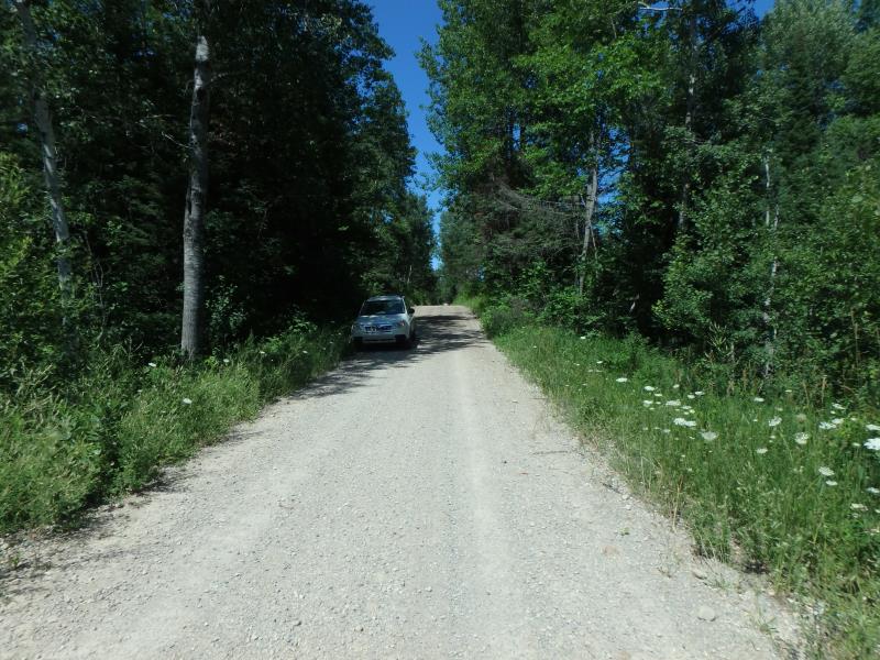
Road Approach - Left
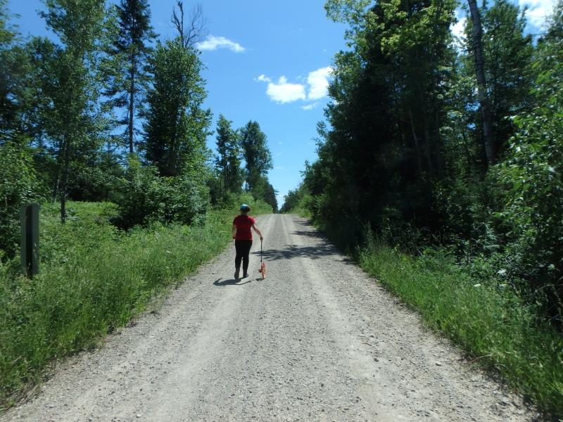
Road Approach - Right
Crossing Information
Type of Crossing: culvert(s)
Number of Structures: 1
Structure Shape: Ellipse
Inlet Type: Projecting
Outlet Type: At Stream Grade
Structure Material: Metal
Structure Substrate: Sand
General Conditions: Fair
Structure Interior: corrugated
Structure is Rusted through
Dimensions of Structure: Length 40 ft.
, Width 5.5 ft.
, Height 3.5 ft.
Percentage Plugged:
Inlet: 1% to 25%
Outlet: 0%
In Pipe: 0%
Structure is NOT Perched
Structure Inlet
Water Depth: 0.6 ft.
Embedded Depth of Structure: 0 ft.
Water Velocity*: 0.1 ft./sec.
Structure Outlet
Water Depth: 0.1 ft.
Embedded Depth of Structure: 0 ft.
Water Velocity*: 0.1 ft./sec.
*Water Velocities were measured at the Surface
(with Float Test)
Additional Comments
Could not obtain riffle here
Stream Information
Stream Flow: None
Road Information
Gravel
County Road
Road Condition: Fair
Road Width at Culvert: 16 ft.
Location of Low Point: At Stream
Runoff Path: Ditch
Embankments
Upstream
Fill Depth: 5 ft.
Slope: More than 1:2
Downstream
Fill Depth: 4.2 ft.
Slope: More than 1:2
Approaches
Left Approach
Length: 169 ft.
Slope: 1% to 5%
Vegetation: Heavy
LS Factor: 0.411
Erosion: 0.3065 tons/year
Right Approach
Length: 156 ft.
Slope: 1% to 5%
Vegetation: Heavy
LS Factor: 0.404
Erosion: 0.2775 tons/year
Erosion Information
Total Erosion at Crossing: 0.584 tons/year
Summary Information
�