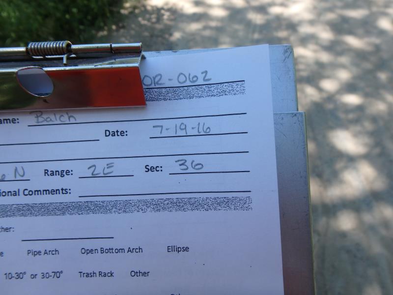
Road Stream Crossing Site CLHW_OR-062
Ocqueoc River Watershed, Unnamed stream
Glawe Hwy
Bearinger Twp,
Presque Isle County
Information collected by:
Site Location
GPS Coordinates: 45.45078
, -84.12859
T36N
R2E
Sec 36
Owned by State
Structure is NOT Perched
Total Erosion: 2.0993 tons/year
Severity: Severe
Year Inventoried: 2016
Site ID
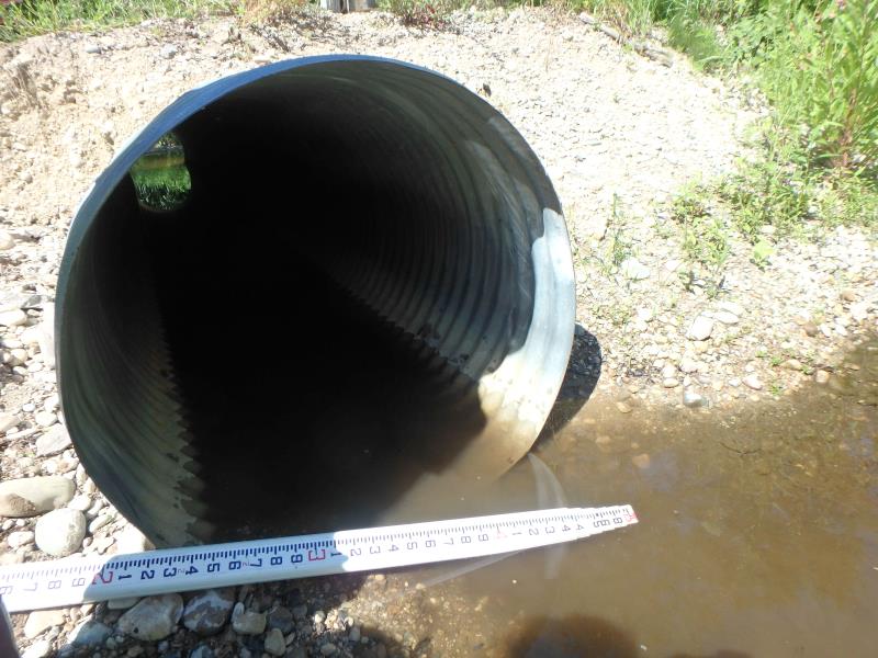
Inlet
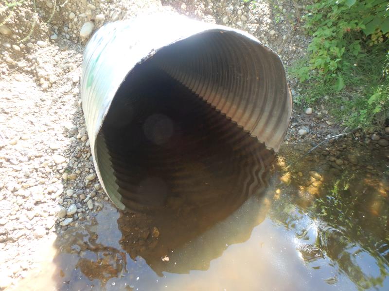
Outlet
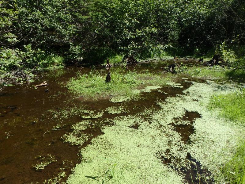
Upstream Conditions
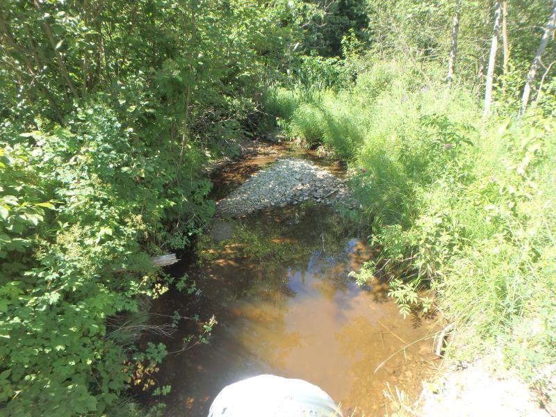
Downstream Conditions
Road Approach - Left
Road Approach - Right
Crossing Information
Type of Crossing: culvert(s)
Number of Structures: 1
Structure Shape: Round
Inlet Type: Projecting
Outlet Type: At Stream Grade
Structure Material: Metal
Structure Substrate: None
General Conditions: New
Structure Interior: corrugated
Dimensions of Structure: Length 30 ft.
, Width 3 ft.
, Height 3 ft.
Structure is NOT Perched
Structure Inlet
Water Depth: 0.3 ft.
Embedded Depth of Structure: 0 ft.
Water Velocity*: 0 ft./sec.
Structure Outlet
Water Depth: 0.9 ft.
Embedded Depth of Structure: 0 ft.
Water Velocity*: 0 ft./sec.
Stream Information
Stream Flow: None
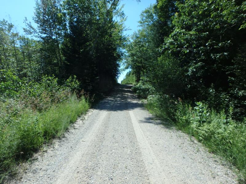
Road Information
Gravel
County Road
Road Condition: Fair
Road Width at Culvert: 12 ft.
Location of Low Point: At Stream
Runoff Path: Ditch
Embankments
Upstream
Fill Depth: 1 ft.
Slope: More than 1:2
Downstream
Fill Depth: 1.2 ft.
Slope: More than 1:2
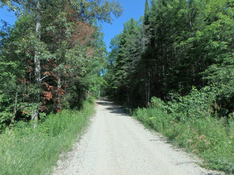
Approaches
Left Approach
Length: 218 ft.
Slope: 1% to 5%
Vegetation: Heavy
LS Factor: 0.434
Erosion: 0.3125 tons/year
Right Approach
Length: 238 ft.
Slope: 1% to 5%
Vegetation: Heavy
LS Factor: 0.438
Erosion: 0.3443 tons/year
Erosion Information
Total Erosion at Crossing: 2.0993 tons/year
Extent of Erosion: Very Severe
Notes: Severe enough that it is beginning to uncover culvert at outle
Location of Erosion | Erosion Dimensions | Eroded Material | Material Eroded | Total Erosion | ||
facing downstream | Length | Width | Depth | Reaching Stream? | (tons/year) | |
Right Upstream Embankment |
6 ft. |
7 ft. |
2.2 ft. |
yes |
Gravel |
0.33 |
Right Downstream Embankment |
7 ft. |
6 ft. |
3.5 ft. |
yes |
Gravel |
0.6125 |
Left Downstream Embankment |
5 ft. |
6 ft. |
4 ft. |
yes |
Gravel |
0.5 |
Summary Information
Erosion is an area of concern for this site.
Erosion is bad here; culvert is becoming more and more exposed
�