Road Stream Crossing Site CLHW_OR-063
Ocqueoc River Watershed, Unnamed stream
Town Hall Hwy
Bearinger Twp,
Presque Isle County
Information collected by:
Site Location
GPS Coordinates: 45.49446
, -84.14846
T36N
R2E
Sec 14
Owned by State
Perch Height: 1 ft.
Total Erosion: 0.8291 tons/year
Severity: Minor
Year Inventoried: 2016
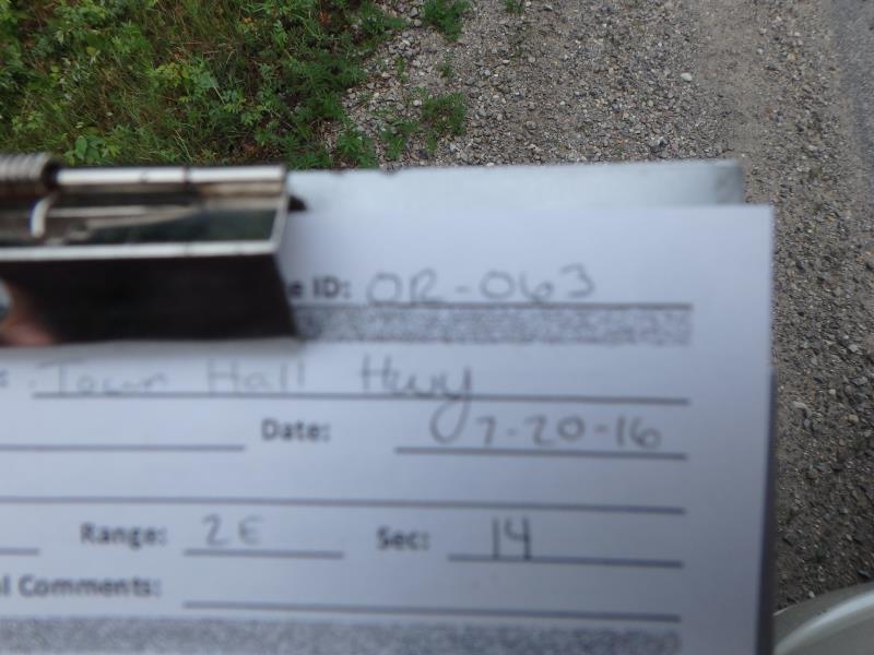
Site ID
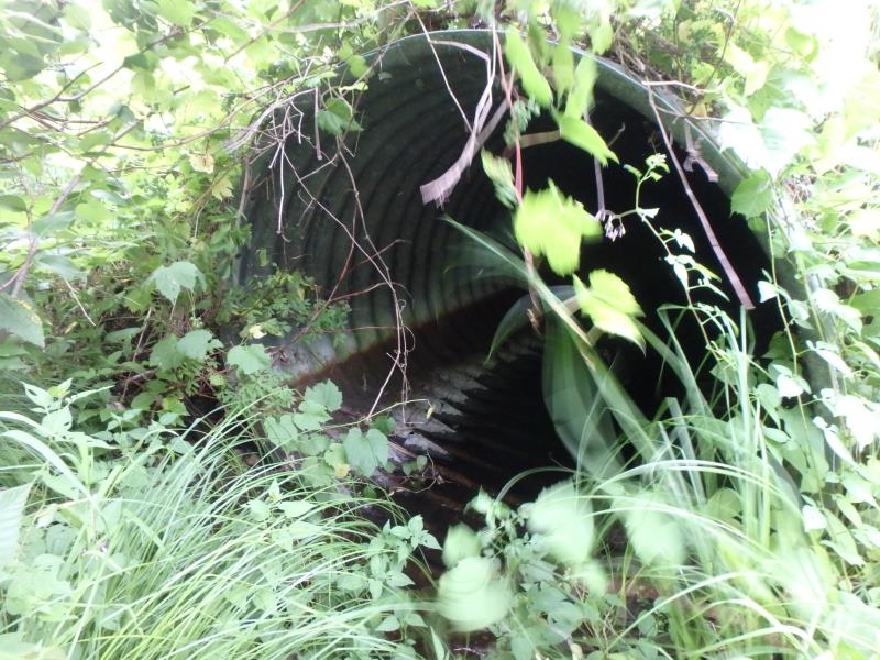
Inlet
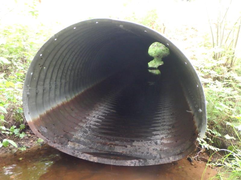
Outlet
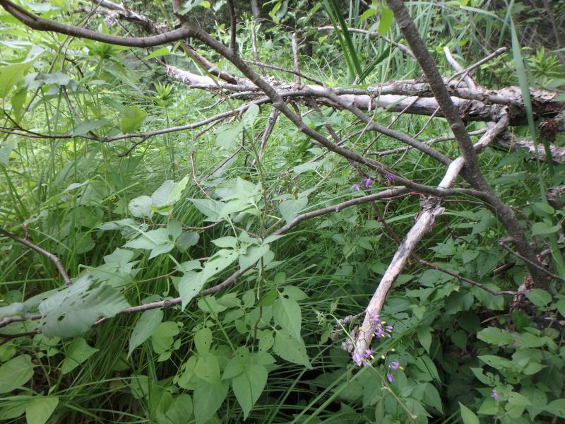
Upstream Conditions
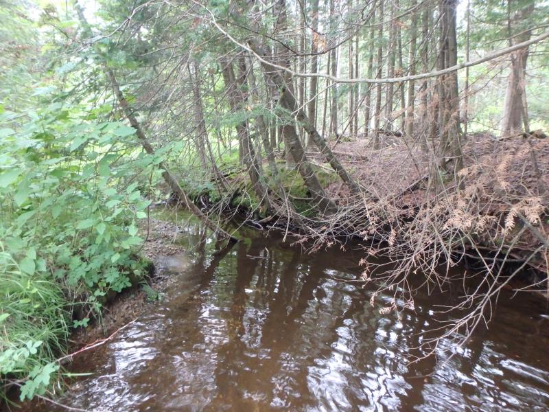
Downstream Conditions
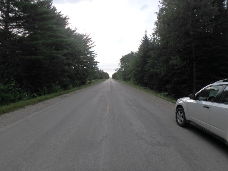
Road Approach - Left
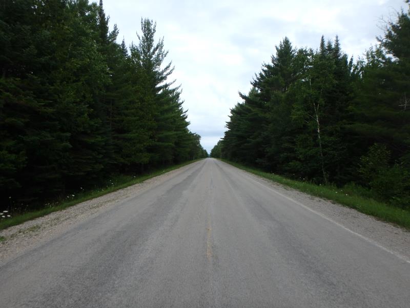
Road Approach - Right
Crossing Information
Type of Crossing: culvert(s)
Number of Structures: 1
Structure Shape: Pipe Arch
Inlet Type: Projecting
Outlet Type: At Stream Grade
Structure Material: Metal
Structure Substrate: None
General Conditions: Good
Structure Interior: corrugated
Dimensions of Structure: Length 61 ft.
, Width 6 ft.
, Height 5 ft.
Percentage Plugged:
Inlet: 26% to 50%
Outlet: 0%
In Pipe: 0%
Perch Height: 1 ft.
Structure Inlet
Water Depth: 0.1 ft.
Embedded Depth of Structure: 0 ft.
Water Velocity*: 0.1 ft./sec.
Water Depth: 0 ft.
Embedded Depth of Structure: 0 ft.
Water Velocity*: 0.1 ft./sec.
*Water Velocities were measured at the Surface
(with Float Test)
Additional Comments
No water flow after pool at outlet
Stream Information
Stream Flow: None
Scour Pool: Length 17 ft.
, Width 11 ft.
, Depth 1.1 ft.
Road Information
Paved
County Road
Road Condition: Poor
Road Width at Culvert: 22 ft.
Location of Low Point: At Stream
Runoff Path: Ditch
Embankments
Upstream
Fill Depth: 2.4 ft.
Slope: More than 1:2
Downstream
Fill Depth: 2.4 ft.
Slope: More than 1:2
Approaches
Left Approach
Length: 1000 ft.
Slope: 1% to 5%
Vegetation: Heavy
LS Factor: 0.57
Erosion: 0.4145 tons/year
Right Approach
Length: 1000 ft.
Slope: 1% to 5%
Vegetation: Heavy
LS Factor: 0.57
Erosion: 0.4145 tons/year
Erosion Information
Total Erosion at Crossing: 0.8291 tons/year
Summary Information
�