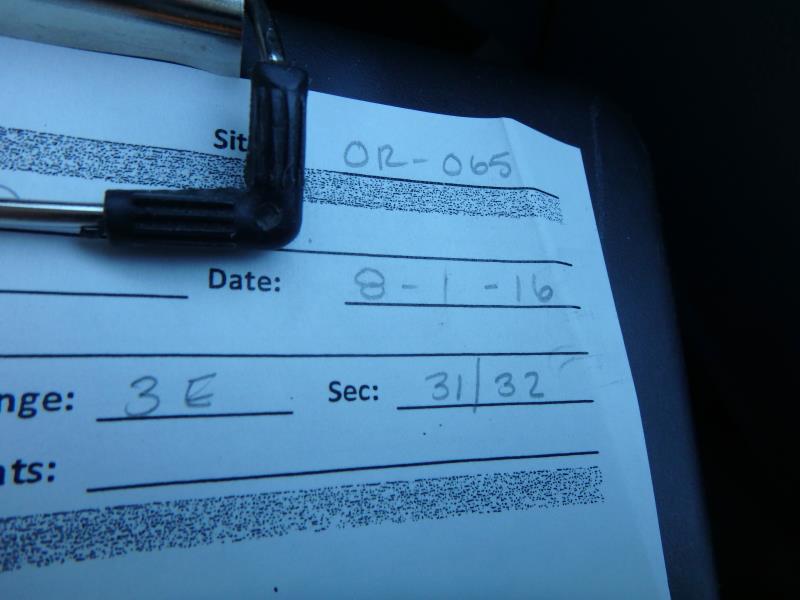
Road Stream Crossing Site CLHW_OR-065
Ocqueoc River Watershed, Ocqueoc River
Domke Rd
Ocqueoc Twp,
Presque Isle County
Information collected by:
Site Location
GPS Coordinates: 45.453174
, -84.107556
T36N
R3E
Sec 31
Owned by Private
Structure is NOT Perched
Total Erosion: 39.9905 tons/year
Severity: Severe
Year Inventoried: 2016
Site ID
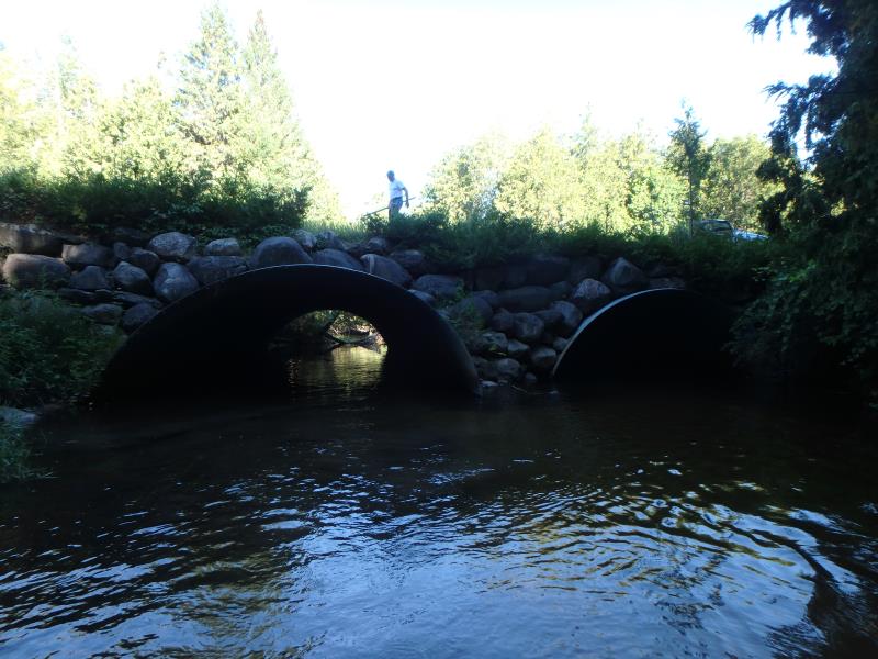
Inlet
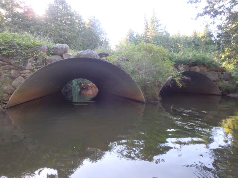
Outlet
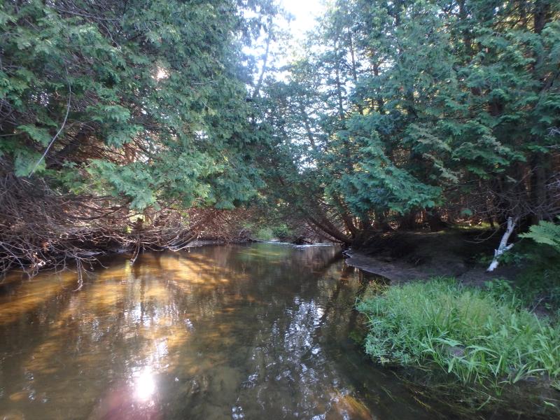
Upstream Conditions
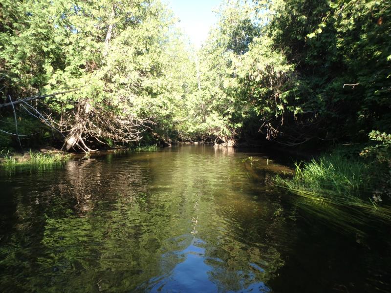
Downstream Conditions
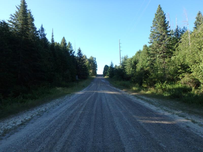
Road Approach - Left
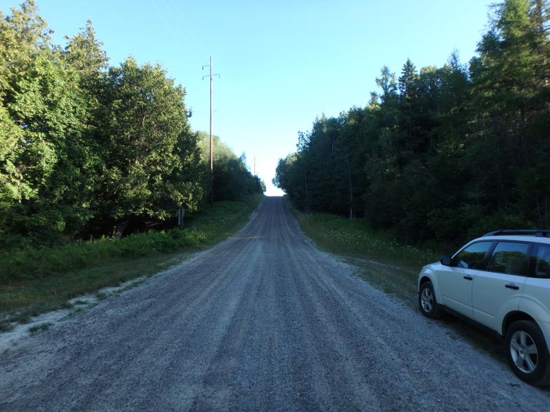
Road Approach - Right
Crossing Information
Type of Crossing: culvert(s)
Number of Structures: 2
Structure Shape: Open Bottom Arch
Inlet Type: Projecting
Outlet Type: At Stream Grade
Structure Material: Metal
Structure Substrate: Sand
General Conditions: Good
Multiple Culverts/Spans | ||||
Culvert/Span | Width | Length | Height | Material |
1 |
20 ft. |
65 ft. |
8 ft. |
Metal |
2 |
20 ft. |
65 ft. |
8 ft. |
Metal |
Structure Interior: corrugated
Dimensions of Structure: Length 65 ft.
, Width 20 ft.
, Height 8 ft.
Structure is NOT Perched
Structure Inlet
Water Depth: 1.3 ft.
Embedded Depth of Structure: 0 ft.
Water Velocity*: 2 ft./sec.
Structure Outlet
Water Depth: 3.6 ft.
Embedded Depth of Structure: 0 ft.
Water Velocity*: 2 ft./sec.
*Water Velocities were measured at the Surface
(with Float Test)
Stream Information
Stream Flow: Less than 1/2 Bankfull
Scour Pool: Length 20 ft.
, Width 60 ft.
, Depth 4 ft.
Riffle Information
Water Depth: 2 ft.
Bankfull Width: 45 ft.
Wetted Width: 34 ft.
Water Velocity: 1.1 ft./sec.
(Measured with Float Test)
Dominant Substrate: Cobble
Road Information
Gravel
County Road
Road Condition: Good
Road Width at Culvert: 22 ft.
Location of Low Point: At Stream
Runoff Path: Ditch
Embankments
Upstream
Fill Depth: 4.2 ft.
Slope: More than 1:2
Downstream
Fill Depth: 3.2 ft.
Slope: More than 1:2
Approaches
Left Approach
Length: 740 ft.
Slope: More Than 10%
Vegetation: Heavy
LS Factor: 5.106
Erosion: 22.8996 tons/year
Right Approach
Length: 600 ft.
Slope: More Than 10%
Vegetation: Heavy
LS Factor: 4.7
Erosion: 17.0909 tons/year
Erosion Information
Total Erosion at Crossing: 39.9905 tons/year
Extent of Erosion: Moderate
Summary Information
Erosion is an area of concern for this site.
Large crossing with large water volume, may need to be revisited in future
�