Road Stream Crossing Site CLHW_SC-003
Schmidt Creek Watershed, South Branch Schmidt Creek
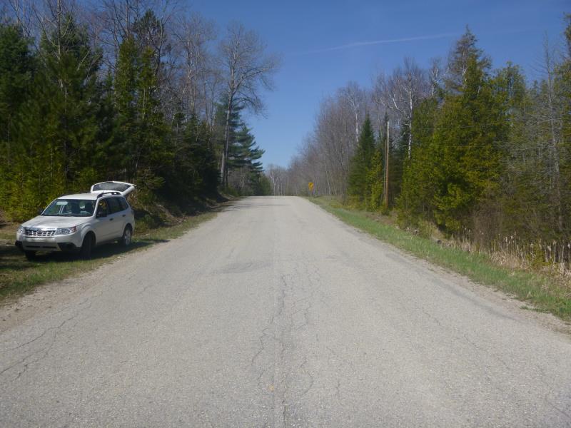
Highway 646
Rogers Twp,
Presque Isle County
Information collected by:
Site Location
GPS Coordinates: 45.47578
, -83.93404
T36N
R4E
Sec 27
Owned by Private
Fish Passability 0.5
Structure is NOT Perched
Total Erosion: 1.0204 tons/year
Severity: Moderate
Year Inventoried: 2016
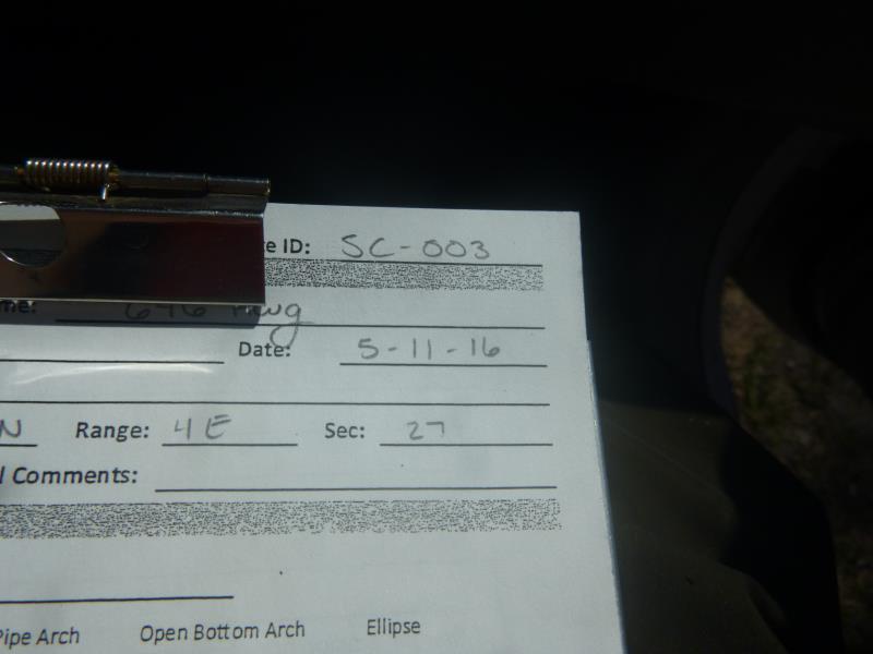
Site ID
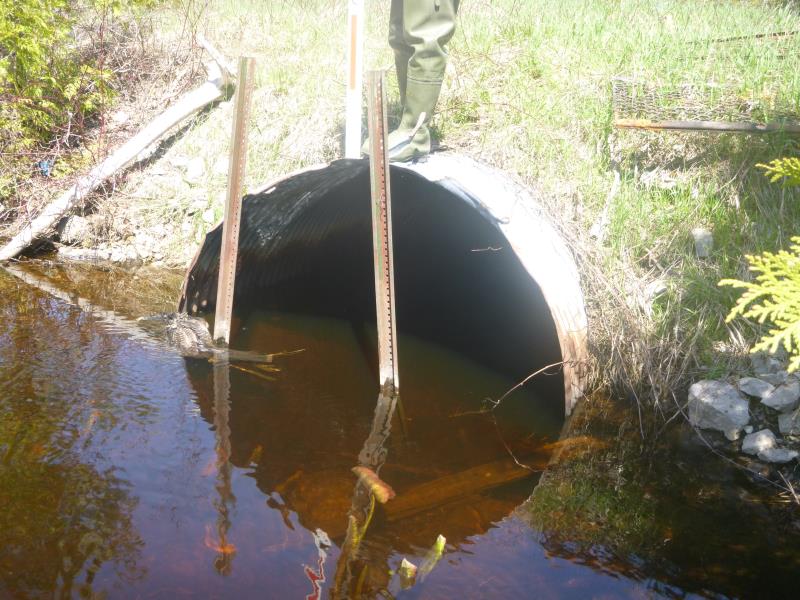
Inlet
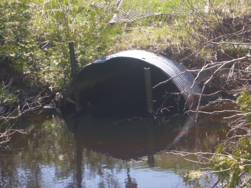
Outlet
Upstream Conditions
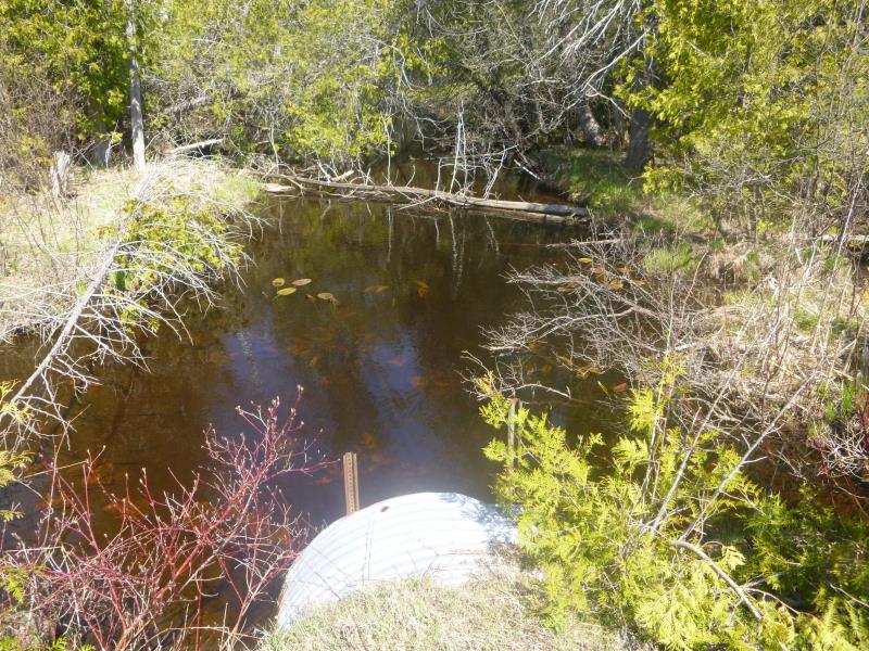
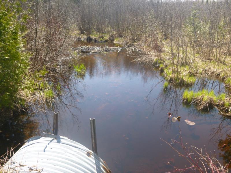
Downstream Conditions
Road Approach - Left
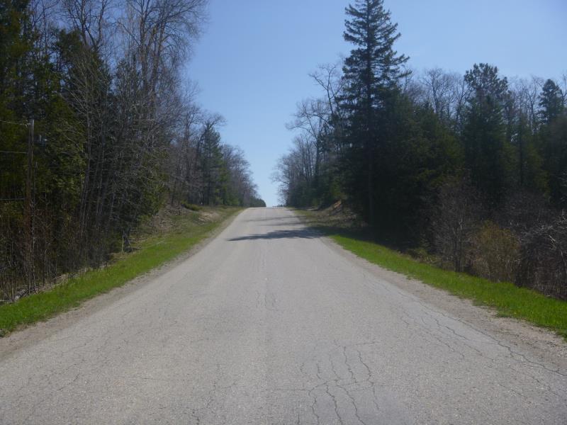
Road Approach - Right
Crossing Information
Type of Crossing: culvert(s)
Number of Structures: 1
Structure Shape: Pipe Arch
Inlet Type: Trash Rack
Outlet Type: At Stream Grade
Structure Material: Metal
Structure Substrate: None
General Conditions: Poor
Structure Interior: corrugated
Structure is Rusted through
Dimensions of Structure: Length 70 ft.
, Width 6 ft.
, Height 5.8 ft.
Percentage Plugged:
Inlet: 0%
Outlet: 1% to 25%
In Pipe: 0%
Percentage Crushed:
Inlet: 1% to 25%
Outlet: 0%
In Pipe: 0%
Structure is NOT Perched
Structure Inlet
Water Depth: 3 ft.
Embedded Depth of Structure: 0 ft.
Water Velocity*: 1 ft./sec.
Structure Outlet
Water Depth: 3 ft.
Embedded Depth of Structure: 0 ft.
Water Velocity*: 1 ft./sec.
*Water Velocities were measured at the Surface
(with Float Test)
Stream Information
Stream Flow: Less than Bankfull
Scour Pool: Length 30 ft.
, Width 24 ft.
, Depth 3 ft.
Upstream Pond: Length 25 ft.
, Width 18 ft.
, Depth 4 ft.
Riffle Information
Water Depth: 1.6 ft.
Bankfull Width: 20 ft.
Wetted Width: 16 ft.
Water Velocity: 0.7 ft./sec.
(Measured with Float Test)
Dominant Substrate: Sand
Road Information
Paved
County Road
Road Condition: Fair
Road Width at Culvert: 22 ft.
Location of Low Point: At Stream
Runoff Path: Ditch
Embankments
Upstream
Fill Depth: 3 ft.
Slope: More than 1:2
Downstream
Fill Depth: 5 ft.
Slope: More than 1:2
Approaches
Left Approach
Length: 330 ft.
Slope: 6% to 10%
Vegetation: Heavy
LS Factor: 1.439
Erosion: 0.3454 tons/year
Right Approach
Length: 550 ft.
Slope: 6% to 10%
Vegetation: Heavy
LS Factor: 1.688
Erosion: 0.675 tons/year
Erosion Information
Total Erosion at Crossing: 1.0204 tons/year
Summary Information
Fish Passability 0.5
A future visit to this site is recommended. There were quite a few downed trees fallen over the stream and blocking much of its natural flow. May need to be visited for a tree clean up.
�