Road Stream Crossing Site CLHW_SC-007
Schmidt Creek Watershed, Hartwick Creek
US-23
Rogers Twp,
Presque Isle County
Information collected by:
Site Location
GPS Coordinates: 45.45849
, -83.87206
T36N
R5E
Sec 31
Owned by State
Fish Passability 1
Structure is NOT Perched
Total Erosion: 0.756 tons/year
Severity: Moderate
Year Inventoried: 2016
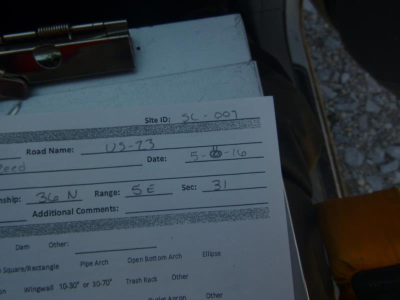
Site ID
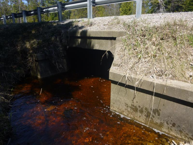
Inlet
Outlet
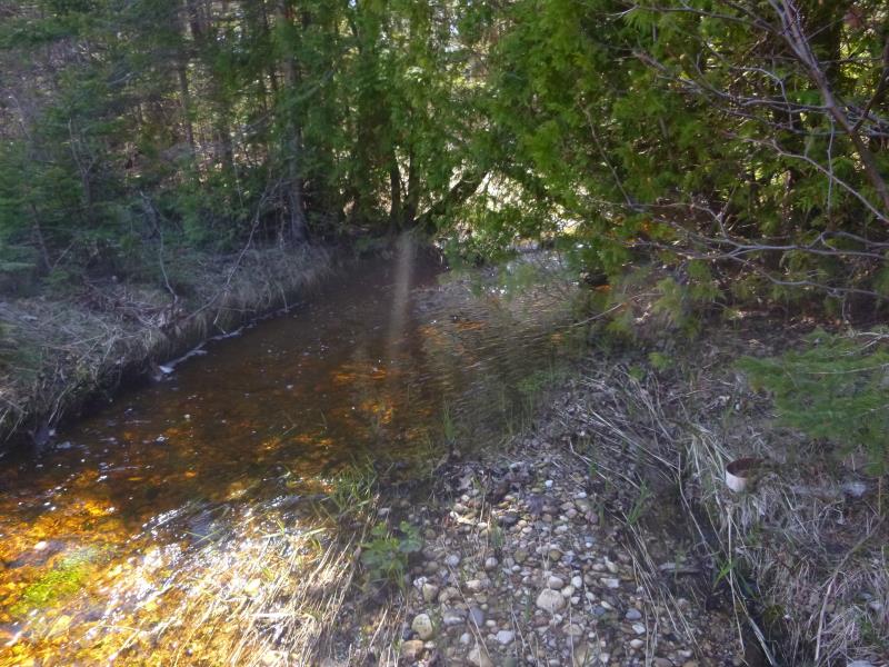
Upstream Conditions
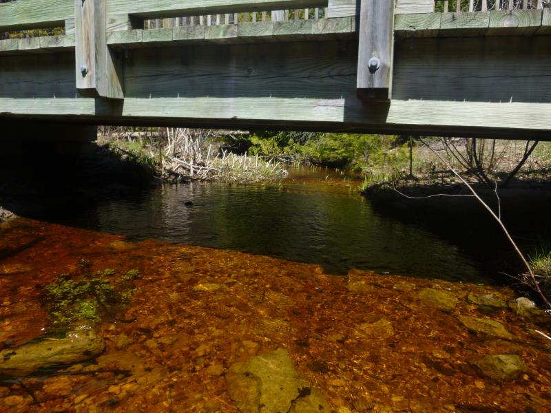
Downstream Conditions
Road Approach - Left
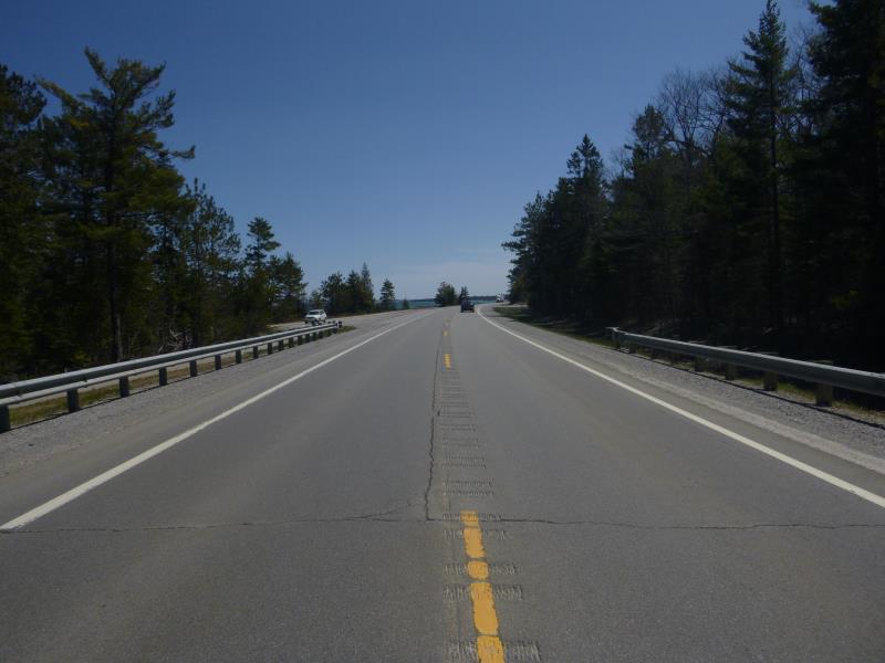
Road Approach - Right
Crossing Information
Type of Crossing: culvert(s)
Number of Structures: 1
Structure Shape: Square/Rectangle
Inlet Type: Apron
Outlet Type: At Stream Grade
Structure Material: Concrete
Structure Substrate: Sand
General Conditions: Good
Structure Interior: smooth
Dimensions of Structure: Length 65 ft.
, Width 7 ft.
, Height 4 ft.
Percentage Crushed:
Inlet: 0%
Outlet: 1% to 25%
In Pipe: 0%
Structure is NOT Perched
Structure Inlet
Water Depth: 0.8 ft.
Embedded Depth of Structure: 0 ft.
Water Velocity*: 0.75 ft./sec.
Structure Outlet
Water Depth: 1 ft.
Embedded Depth of Structure: 0.2 ft.
Water Velocity*: 0.75 ft./sec.
*Water Velocities were measured at the Surface
(with Float Test)
Additional Comments
Hoeft State Park
Stream Information
Stream Flow: Less than 1/2 Bankfull
Scour Pool: Length 0 ft.
, Width 0 ft.
, Depth 0 ft.
Upstream Pond: Length 0 ft.
, Width 0 ft.
, Depth 0 ft.
Riffle Information
Water Depth: 0.3 ft.
Bankfull Width: 5 ft.
Wetted Width: 12 ft.
Water Velocity: 1.6 ft./sec.
(Measured with Float Test)
Dominant Substrate: Gravel
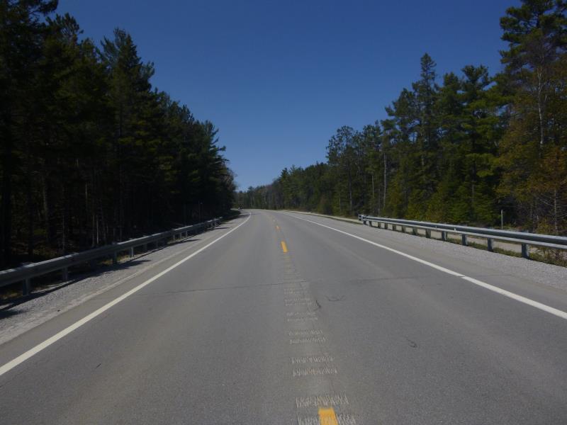
Road Information
Paved
Federal Road
Road Condition: Good
Road Width at Culvert: 34 ft.
Location of Low Point: Other
Runoff Path: Ditch
Embankments
Upstream
Fill Depth: 1.6 ft.
Slope: More than 1:2
Downstream
Fill Depth: 3 ft.
Slope: More than 1:2
Approaches
Left Approach
Length: 0 ft.
Slope: Less Than 1%
Vegetation: Heavy
LS Factor: 0.05
Erosion: 0 tons/year
Right Approach
Length: 0 ft.
Slope: Less Than 1%
Vegetation: Heavy
LS Factor: 0.05
Erosion: 0 tons/year
Erosion Information
Total Erosion at Crossing: 0.756 tons/year
Extent of Erosion: Moderate
Erosion is occurring and corrective actions can be installed to address the problem.
Notes: Could add some riprap to area to prevent futher erosion
Location of Erosion | Erosion Dimensions | Eroded Material | Material Eroded | Total Erosion | ||
facing downstream | Length | Width | Depth | Reaching Stream? | (tons/year) | |
Left Upstream Ditch |
12 ft. |
5 ft. |
9 ft. |
yes |
Gravel |
0.756 |
Summary Information
Fish Passability 1
�