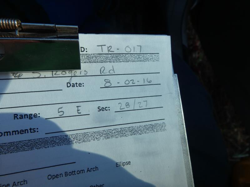
Road Stream Crossing Site CLHW_TR-017
Trout/Swan/Little Trout Watershed, Swan River
S Rogers Rd
Belknap Twp,
Presque Isle County
Information collected by:
Site Location
GPS Coordinates: 45.31423
, -83.82224
T34N
R5E
Sec 28
Owned by Private
Fish Passability 0.5
Structure is NOT Perched
Total Erosion: 1.9055 tons/year
Severity: Moderate
Year Inventoried: 2016
Site ID
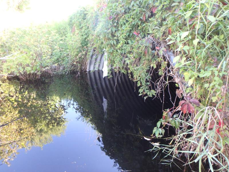
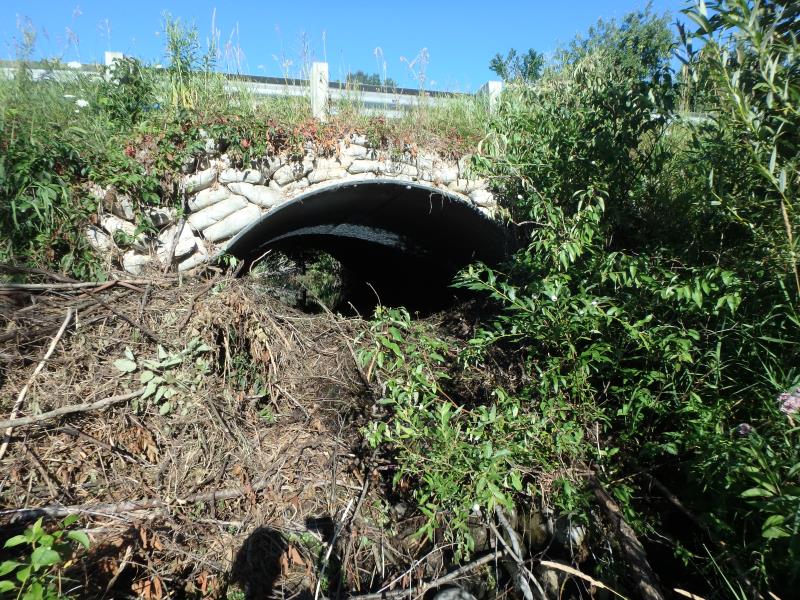
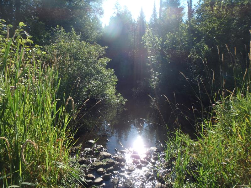
Inlet
Outlet
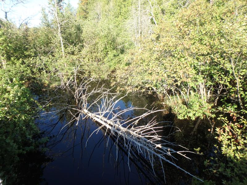
Upstream Conditions
Downstream Conditions
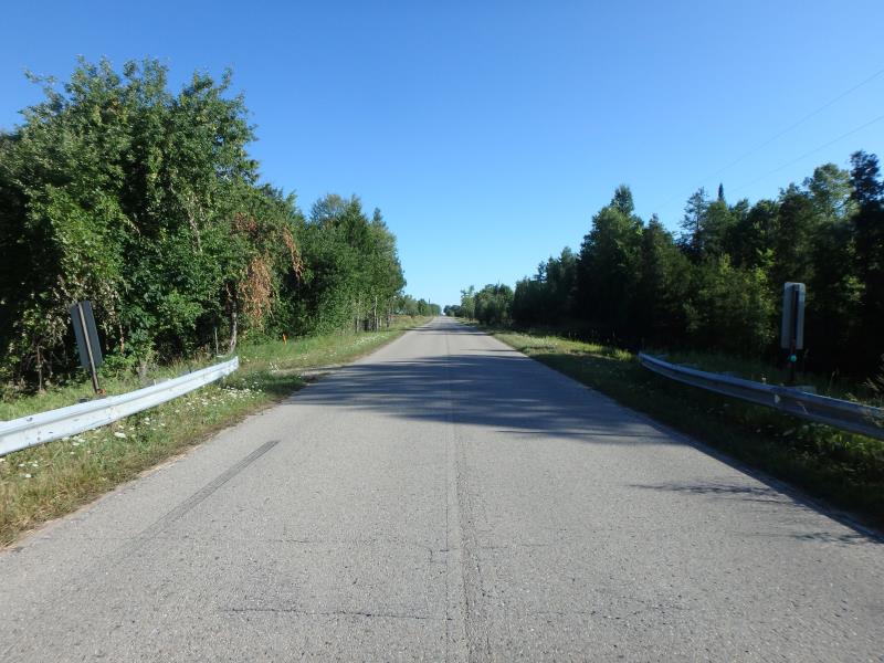
Road Approach - Left
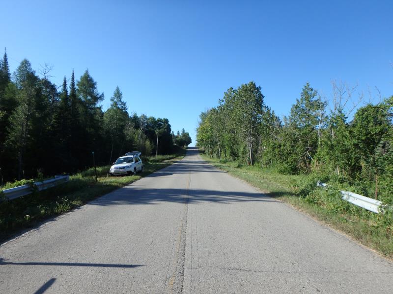
Road Approach - Right
Crossing Information
Type of Crossing: culvert(s)
Number of Structures: 1
Structure Shape: Pipe Arch
Inlet Type: Headwall
Outlet Type: At Stream Grade
Structure Material: Metal
Structure Substrate: Sand
General Conditions: Fair
Structure Interior: corrugated
Dimensions of Structure: Length 40 ft.
, Width 10 ft.
, Height 7 ft.
Percentage Plugged:
Inlet: 0%
Outlet: 76% to 100%
In Pipe: 0%
Structure is NOT Perched
Structure Inlet
Water Depth: 3 ft.
Embedded Depth of Structure: 0 ft.
Water Velocity*: 0.1 ft./sec.
Water Depth: 0 ft.
Embedded Depth of Structure: 3 ft.
Water Velocity*: 0.1 ft./sec.
*Water Velocities were measured at the Surface
(with Float Test)
Additional Comments
Beaver activity present-Large dam at outlet side; too blocked up to obtain riffle
Stream Information
Stream Flow: Less than 1/2 Bankfull
Scour Pool: Length 40 ft.
, Width 20 ft.
, Depth 2 ft.
Upstream Pond: Length 0 ft.
, Width 0 ft.
, Depth 0 ft.
Riffle Information
Water Depth: 0 ft.
Bankfull Width: 0 ft.
Wetted Width: 0 ft.
Water Velocity: 0 ft./sec.
Road Information
Paved
County Road
Road Condition: Good
Road Width at Culvert: 22 ft.
Location of Low Point: At Stream
Runoff Path: Ditch
Embankments
Upstream
Fill Depth: 1 ft.
Slope: More than 1:2
Downstream
Fill Depth: 2 ft.
Slope: More than 1:2
Approaches
Left Approach
Length: 1000 ft.
Slope: 1% to 5%
Vegetation: Heavy
LS Factor: 0.57
Erosion: 0.4145 tons/year
Right Approach
Length: 1000 ft.
Slope: 6% to 10%
Vegetation: Heavy
LS Factor: 2.05
Erosion: 1.4909 tons/year
Erosion Information
Total Erosion at Crossing: 1.9055 tons/year
Summary Information
Fish Passability 0.5
A future visit to this site is recommended. To clear beaver dam at Outlet, which is causing a significant back up on the upstream side of the crossing
�