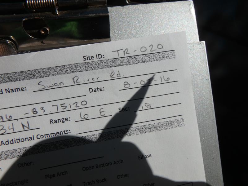
Road Stream Crossing Site CLHW_TR-020
Trout/Swan/Little Trout Watershed, Swan River
Swan River Rd
Pulawski Twp,
Presque Isle County
Information collected by:
Site Location
GPS Coordinates: 45.34196
, -83.7513
T34N
R6E
Sec 18
Owned by Private
Fish Passability 0.5
Structure is NOT Perched
Total Erosion: 1.9921 tons/year
Severity: Moderate
Year Inventoried: 2016
Site ID
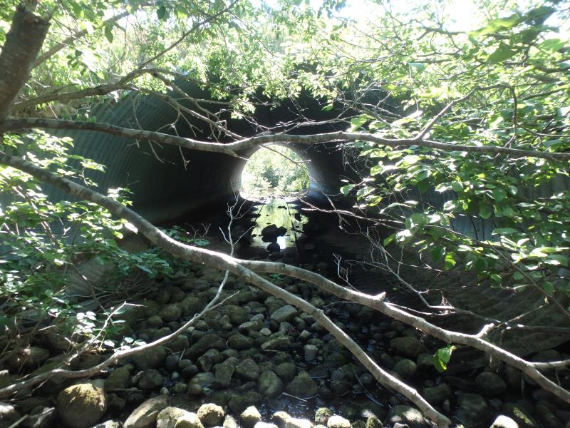
Inlet
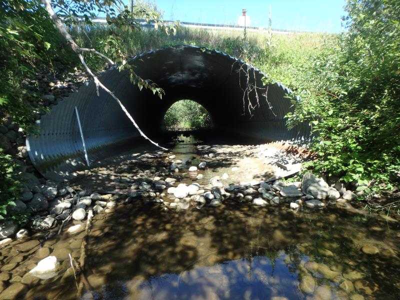
Outlet
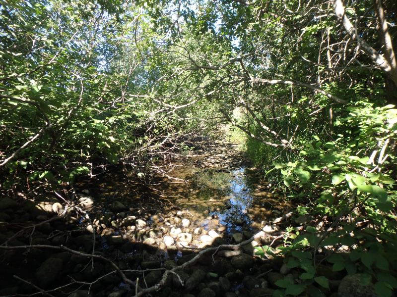
Upstream Conditions
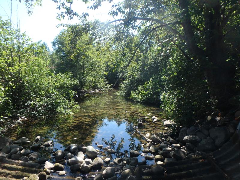
Downstream Conditions
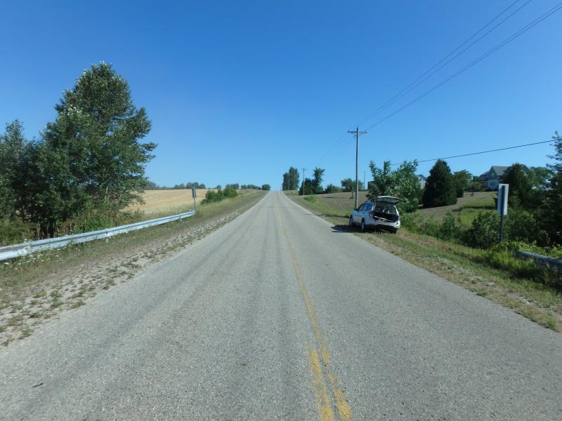
Road Approach - Left
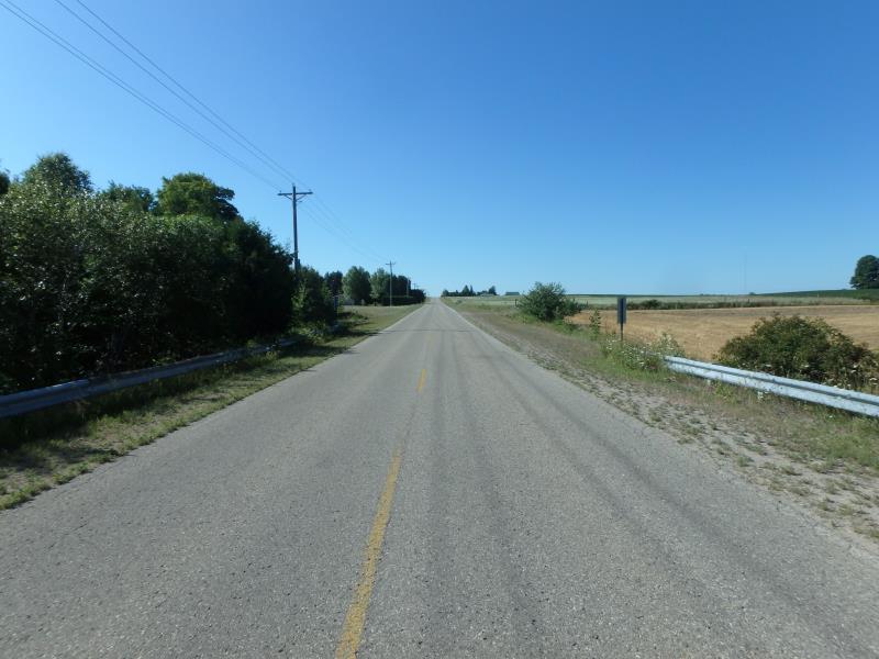
Road Approach - Right
Crossing Information
Type of Crossing: culvert(s)
Number of Structures: 1
Structure Shape: Ellipse
Inlet Type: Mitered
Outlet Type: At Stream Grade
Structure Material: Metal
Structure Substrate: Rock
General Conditions: New
Structure Interior: corrugated
Dimensions of Structure: Length 65 ft.
, Width 17 ft.
, Height 12 ft.
Structure is NOT Perched
Structure Inlet
Water Depth: 0.2 ft.
Embedded Depth of Structure: 0 ft.
Water Velocity*: 0 ft./sec.
Structure Outlet
Water Depth: 0.1 ft.
Embedded Depth of Structure: 0 ft.
Water Velocity*: 0 ft./sec.
*Water Velocities were measured at the Surface
(with Float Test)
Stream Information
Stream Flow: Less than 1/2 Bankfull
Scour Pool: Length 0 ft.
, Width 0 ft.
, Depth 0 ft.
Upstream Pond: Length 0 ft.
, Width 0 ft.
, Depth 0 ft.
Riffle Information
Water Depth: 0.6 ft.
Bankfull Width: 19 ft.
Wetted Width: 13 ft.
Water Velocity: 0 ft./sec.
(Measured with Float Test)
Dominant Substrate: Gravel
Road Information
Paved
County Road
Road Condition: Good
Road Width at Culvert: 23 ft.
Location of Low Point: At Stream
Runoff Path: Ditch
Embankments
Upstream
Fill Depth: 3.7 ft.
Slope: More than 1:2
Downstream
Fill Depth: 3.5 ft.
Slope: More than 1:2
Approaches
Left Approach
Length: 1000 ft.
Slope: 1% to 5%
Vegetation: Heavy
LS Factor: 0.57
Erosion: 0.4334 tons/year
Right Approach
Length: 1000 ft.
Slope: 6% to 10%
Vegetation: Heavy
LS Factor: 2.05
Erosion: 1.5587 tons/year
Erosion Information
Total Erosion at Crossing: 1.9921 tons/year
Summary Information
Fish Passability 0.5
�