Road Stream Crossing Site TBW_TBAC114
Thunder Bay River Watershed, Little Wolf Creek tributary
Small Road
Mitchell Twp,
Alcona County
Information collected by:
Site Location
GPS Coordinates: 44.70451
, -83.79921
T27N
R5E
Sec 26
Owned by Private
Structure is NOT Perched
Total Erosion: 0.524 tons/year
Severity: Minor
Year Inventoried: 2017
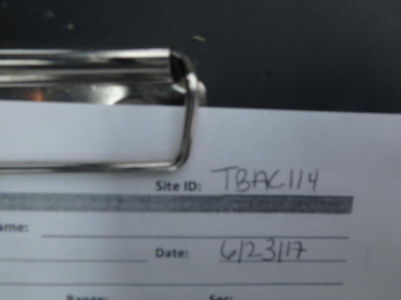
Site ID
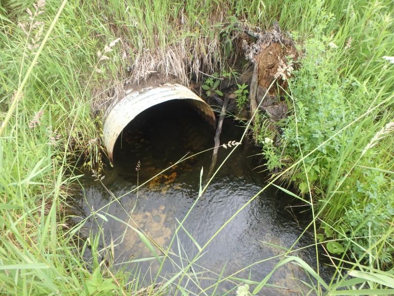
Inlet
Outlet
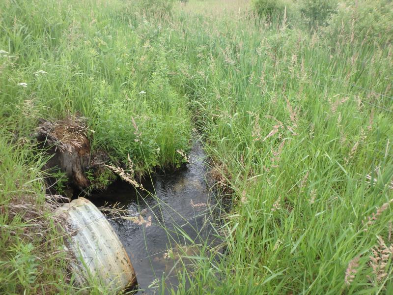
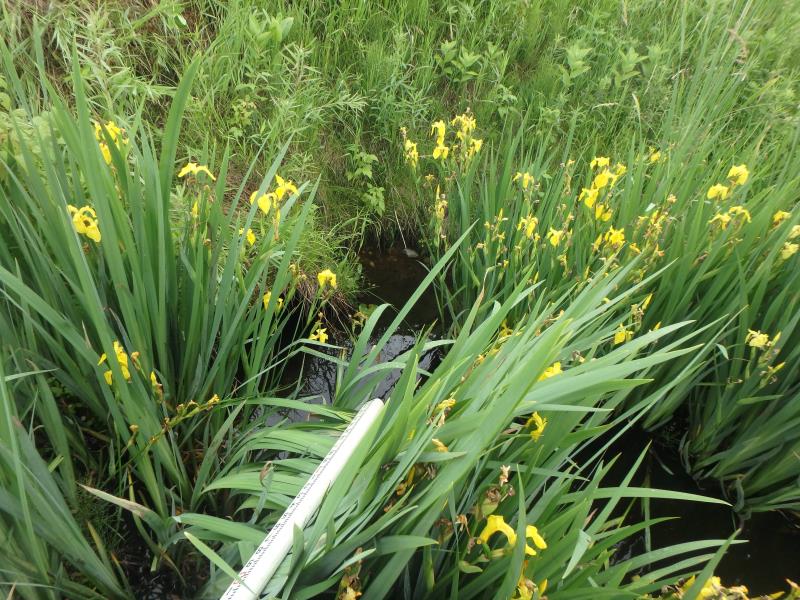
Upstream Conditions
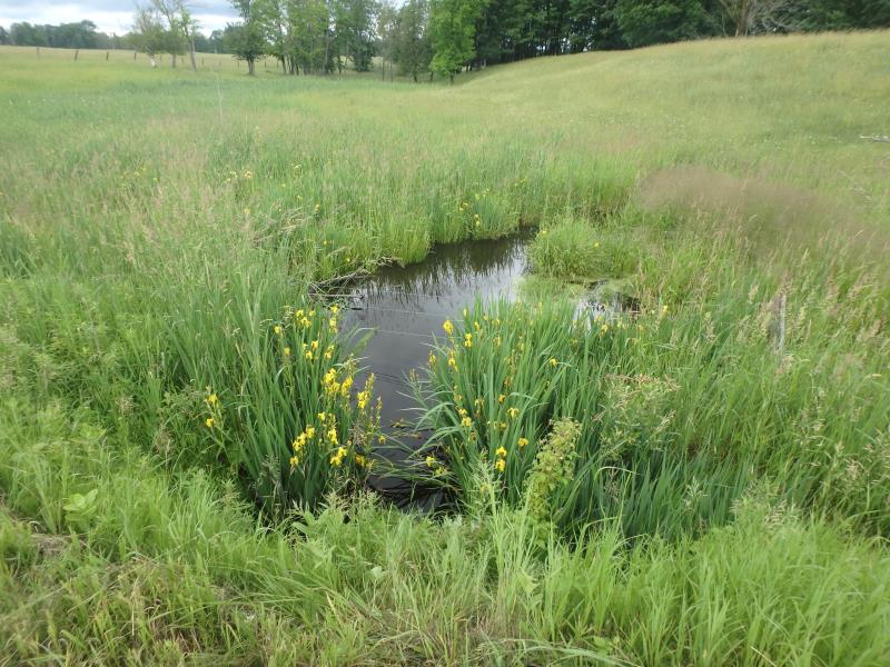
Downstream Conditions
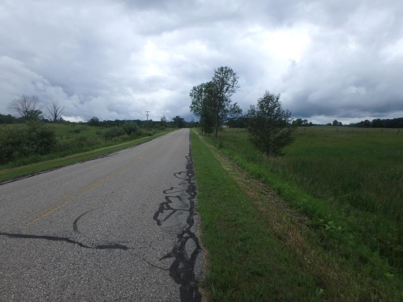
Road Approach - Left
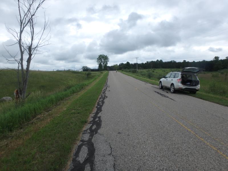
Road Approach - Right
Crossing Information
Type of Crossing: culvert(s)
Number of Structures: 1
Structure Shape: Round
Inlet Type: Projecting
Outlet Type: At Stream Grade
Structure Material: Metal
Structure Substrate: Mixture
General Conditions: Fair
Structure Interior: corrugated
Dimensions of Structure: Length 57 ft.
, Width 3 ft.
, Height 3 ft.
Structure is NOT Perched
Structure Inlet
Water Depth: 1.5 ft.
Embedded Depth of Structure: 0 ft.
Water Velocity*: 0.3 ft./sec.
Structure Outlet
Water Depth: 1 ft.
Embedded Depth of Structure: 1 ft.
Water Velocity*: 0 ft./sec.
*Water Velocities were measured at the Surface
(with Float Test)
Additional Comments
COULD NOT ACCESS RIFFLE: NO CHANNEL UPSTREAM AND BARBED WIRE DOWNSTREAM PREVENTED SAFE ACCESS
Stream Information
Stream Flow: Bankfull
Road Information
Paved
County Road
Road Condition: Fair
Road Width at Culvert: 20.5 ft.
Location of Low Point: At Stream
Runoff Path: Roadway
Embankments
Upstream
Fill Depth: 5.6 ft.
Slope: Vertical
Downstream
Fill Depth: 5.3 ft.
Slope: 1:1
Approaches
Left Approach
Length: 1000 ft.
Slope: 1% to 5%
Vegetation: Heavy
LS Factor: 0.57
Erosion: 0.3863 tons/year
Right Approach
Length: 420 ft.
Slope: 1% to 5%
Vegetation: Heavy
LS Factor: 0.484
Erosion: 0.1378 tons/year
Erosion Information
Total Erosion at Crossing: 0.524 tons/year
Summary Information
These non-native species were observerd at this site: Mullein, Autumn Olive, and Spotted Knapweed
�