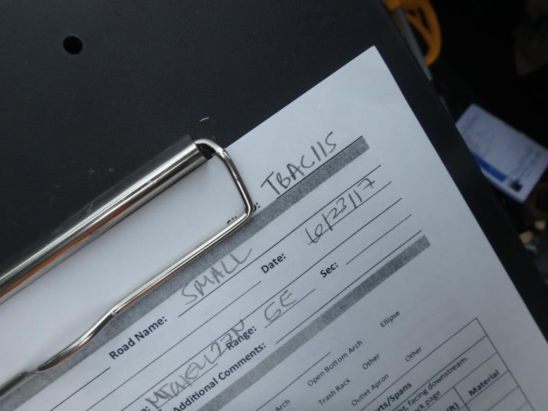
Road Stream Crossing Site TBW_TBAC115
Thunder Bay River Watershed, Unnamed
Small Road
Mitchell Twp,
Alcona County
Information collected by:
Site Location
GPS Coordinates: 44.70464
, -83.80474
T27N
R5E
Sec 26
Owned by Private
Structure is NOT Perched
Total Erosion: 0.1736 tons/year
Severity: Minor
Year Inventoried: 2017
Site ID
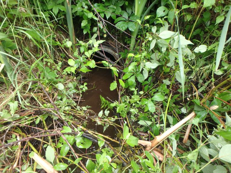
Inlet
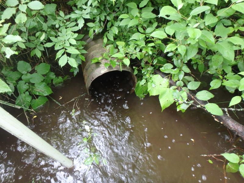
Outlet
Upstream Conditions
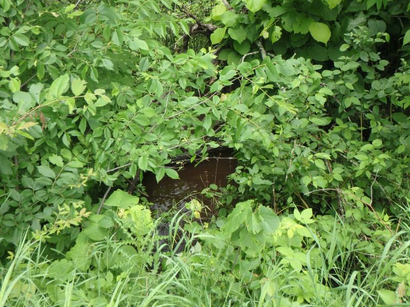
Downstream Conditions
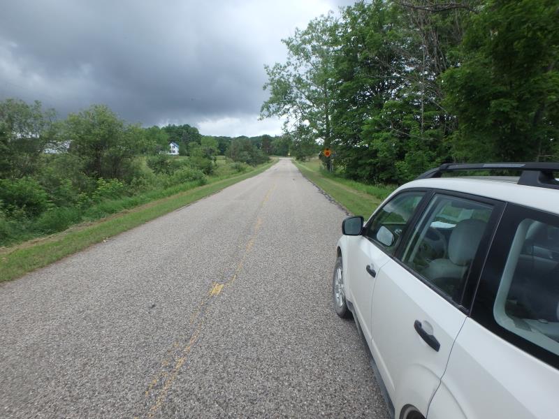
Road Approach - Left
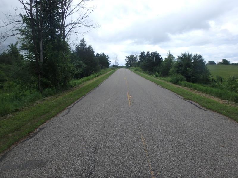
Road Approach - Right
Crossing Information
Type of Crossing: culvert(s)
Number of Structures: 1
Structure Shape: Round
Inlet Type: Projecting
Outlet Type: At Stream Grade
Structure Material: Metal
Structure Substrate: None
General Conditions: Fair
Structure Interior: corrugated
Structure is Rusted through
Dimensions of Structure: Length 51 ft.
, Width 1.4 ft.
, Height 1.4 ft.
Structure is NOT Perched
Structure Inlet
Water Depth: 0.5 ft.
Embedded Depth of Structure: 0 ft.
Water Velocity*: 1 ft./sec.
Structure Outlet
Water Depth: 0.4 ft.
Embedded Depth of Structure: 0 ft.
Water Velocity*: 2 ft./sec.
*Water Velocities were measured at the Surface
(with Float Test)
Additional Comments
RIFFLE WAS NOT ACCESSIBLE
Stream Information
Stream Flow: Bankfull
Road Information
Paved
County Road
Road Condition: Fair
Road Width at Culvert: 21 ft.
Location of Low Point: At Stream
Runoff Path: Roadway
Embankments
Upstream
Fill Depth: 5.4 ft.
Slope: Vertical
Downstream
Fill Depth: 5.6 ft.
Slope: 1:1
Approaches
Left Approach
Length: 0 ft.
Slope: Less Than 1%
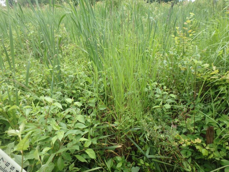
Vegetation: Heavy
LS Factor: 0.05
Erosion: 0 tons/year
Right Approach
Length: 500 ft.
Slope: 1% to 5%
Vegetation: Heavy
LS Factor: 0.5
Erosion: 0.1736 tons/year
Erosion Information
Total Erosion at Crossing: 0.1736 tons/year
Extent of Erosion: Minor
Erosion is occurring and corrective actions can be installed to address the problem.
Summary Information
These non-native species were observerd at this site: Spotted Knapweed
�