Road Stream Crossing Site TBW_TBAC143
Thunder Bay River Watershed, Buff Creek
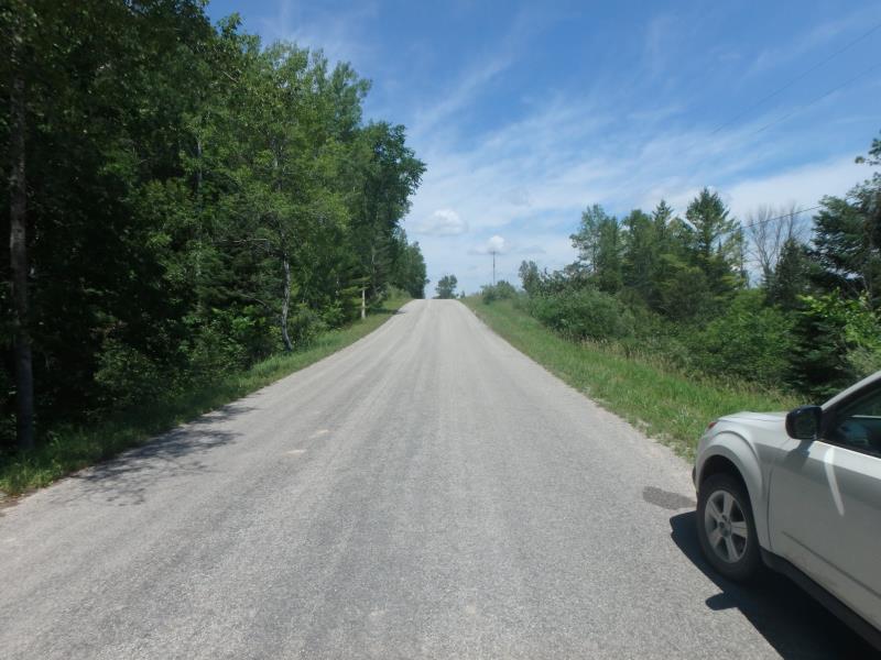
Richardson Road
Hawes Twp,
Alcona County
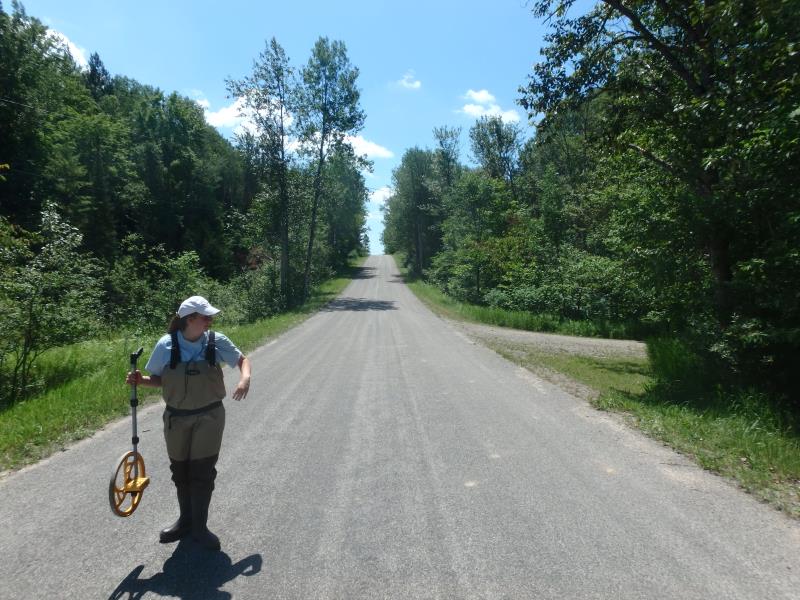
Information collected by:
Site Location
GPS Coordinates: 44.69736
, -83.60703
T27N
R7E
Sec 33
Owned by Private
Fish Passability 0.5
Structure is NOT Perched
Total Erosion: 0.4568 tons/year
Severity: Moderate
Year Inventoried: 2017
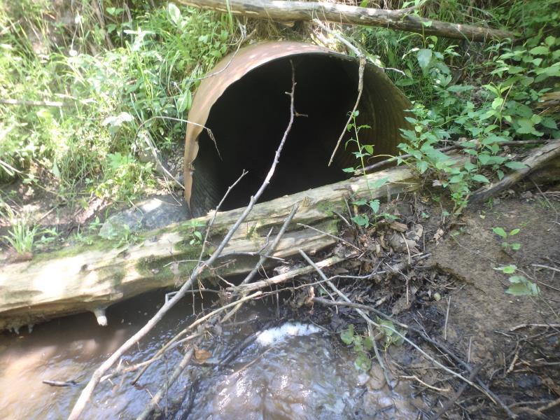
Inlet
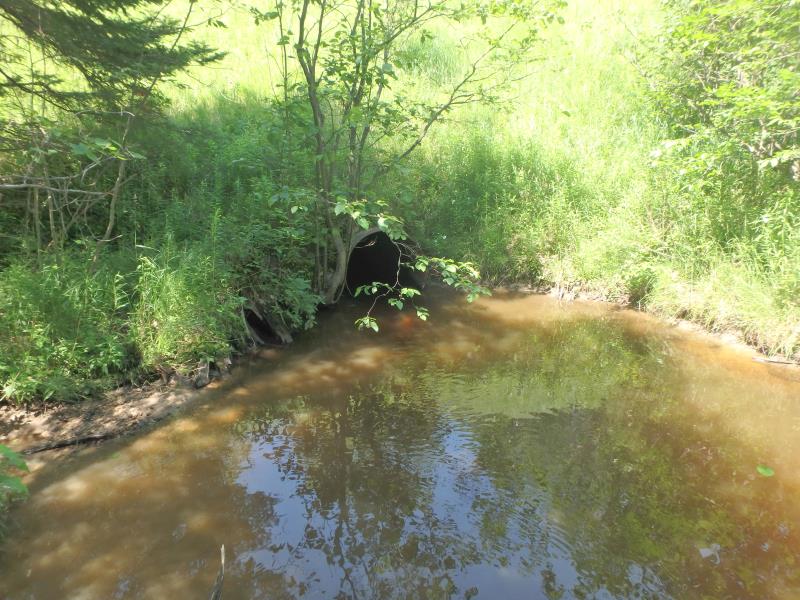
Outlet
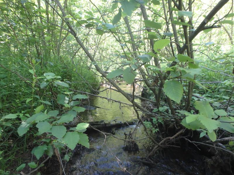
Upstream Conditions
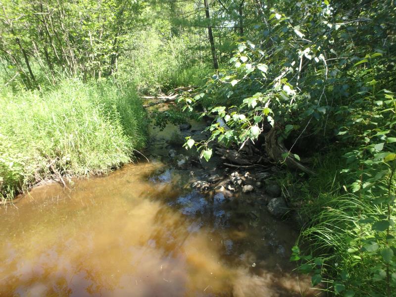
Downstream Conditions
Road Approach - Left
Road Approach - Right
Crossing Information
Type of Crossing: culvert(s)
Number of Structures: 1
Structure Shape: Round
Inlet Type: Projecting
Outlet Type: At Stream Grade
Structure Material: Metal
Structure Substrate: None
General Conditions: Poor
Structure Interior: corrugated
Structure is Rusted through
Dimensions of Structure: Length 48 ft.
, Width 4.1 ft.
, Height 4.1 ft.
Percentage Plugged:
Inlet: 26% to 50%
Percentage Crushed:
In Pipe: 1% to 25%
Structure is NOT Perched
Structure Inlet
Water Depth: 0.5 ft.
Embedded Depth of Structure: 0 ft.
Water Velocity*: 1 ft./sec.
Structure Outlet
Water Depth: 0.9 ft.
Embedded Depth of Structure: 0 ft.
Water Velocity*: 0.2 ft./sec.
*Water Velocities were measured at the Surface
(with Float Test)
Stream Information
Stream Flow: Less than 1/2 Bankfull
Scour Pool: Length 29 ft.
, Width 21 ft.
, Depth 3.5 ft.
Riffle Information
Water Depth: 0.5 ft.
Bankfull Width: 13 ft.
Wetted Width: 7.5 ft.
Water Velocity: 0.5 ft./sec.
(Measured with Float Test)
Dominant Substrate: Gravel
Road Information
Paved
County Road
Road Condition: Fair
Road Width at Culvert: 22 ft.
Location of Low Point: At Stream
Runoff Path: Roadway
Embankments
Upstream
Fill Depth: 15.2 ft.
Slope: Vertical
Downstream
Fill Depth: 16.6 ft.
Slope: 1:1
Approaches
Left Approach
Length: 356 ft.
Slope: 6% to 10%
Vegetation: Heavy
LS Factor: 1.473
Erosion: 0.3813 tons/year
Right Approach
Length: 0 ft.
Slope: 1% to 5%
Vegetation: Heavy
LS Factor: 0.26
Erosion: 0 tons/year
Erosion Information
Total Erosion at Crossing: 0.4568 tons/year
Extent of Erosion: Moderate
Erosion is occurring and corrective actions can be installed to address the problem.
Location of Erosion | Erosion Dimensions | Eroded Material | Material Eroded | Total Erosion | ||
facing downstream | Length | Width | Depth | Reaching Stream? | (tons/year) | |
Left Upstream Streambank |
7 ft. |
3 ft. |
1.4 ft. |
yes |
Sand |
0.0755 |
Summary Information
Fish Passability 0.5
Erosion is an area of concern for this site.
STATE OF EMBANKMENTS IS UNHEALTHY. OTHER 2 CULVERTS SURROUNDING INLETS HAVE COLLAPSED.
These non-native species were observerd at this site: St. Johns Wort and Autumn Olive
�