Road Stream Crossing Site TBW_TBAC164
Thunder Bay River Watershed, Sucker Creek
Sharboneau Road
Hawes Twp,
Alcona County
Information collected by:
Site Location
GPS Coordinates: 44.73371
, -83.45534
T27N
R8E
Sec 15
Owned by Private
Structure is NOT Perched
Total Erosion: 5.4462 tons/year
Severity: Severe
Year Inventoried: 2017
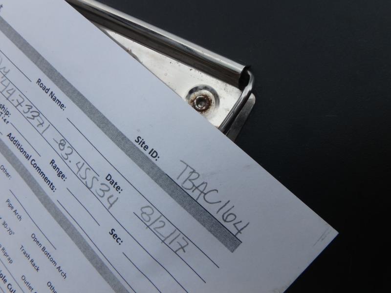
Site ID
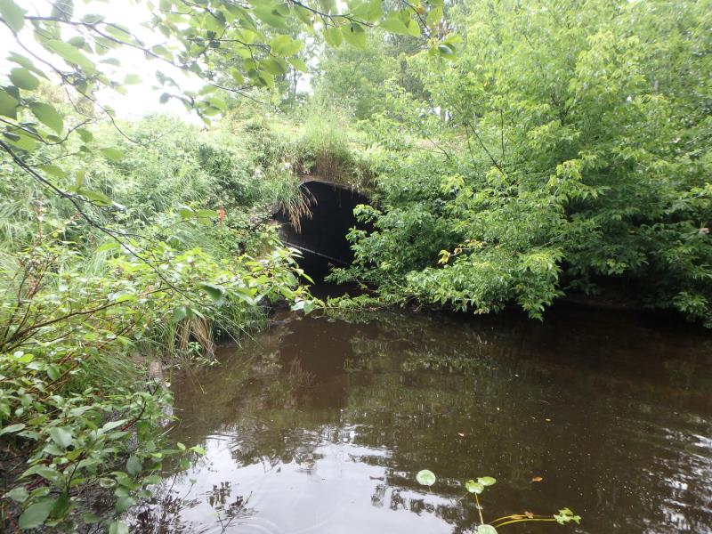
Inlet
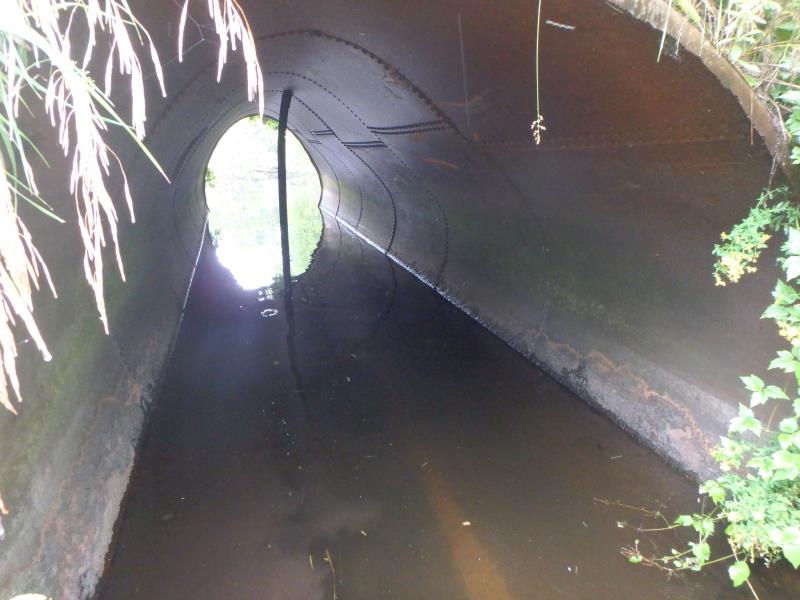
Inlet
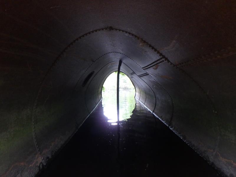
Inlet
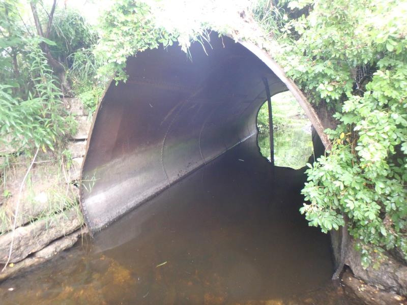
Outlet
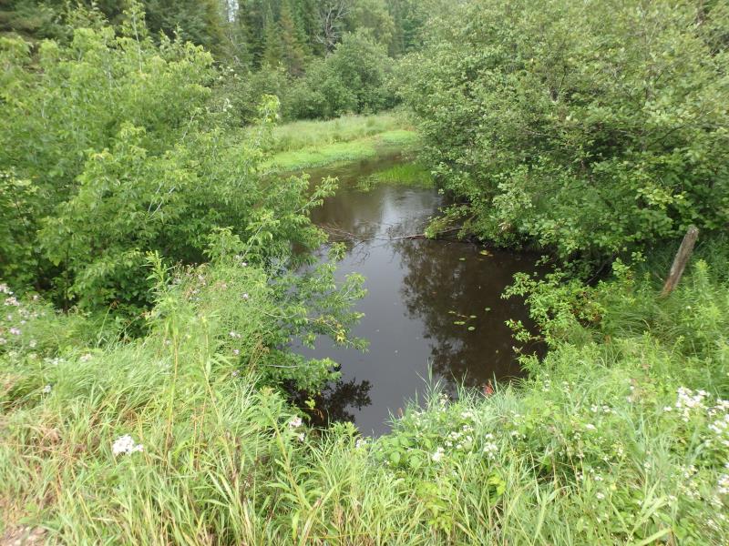
Upstream Conditions
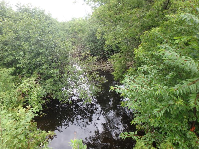
Downstream Conditions
Road Approach - Left
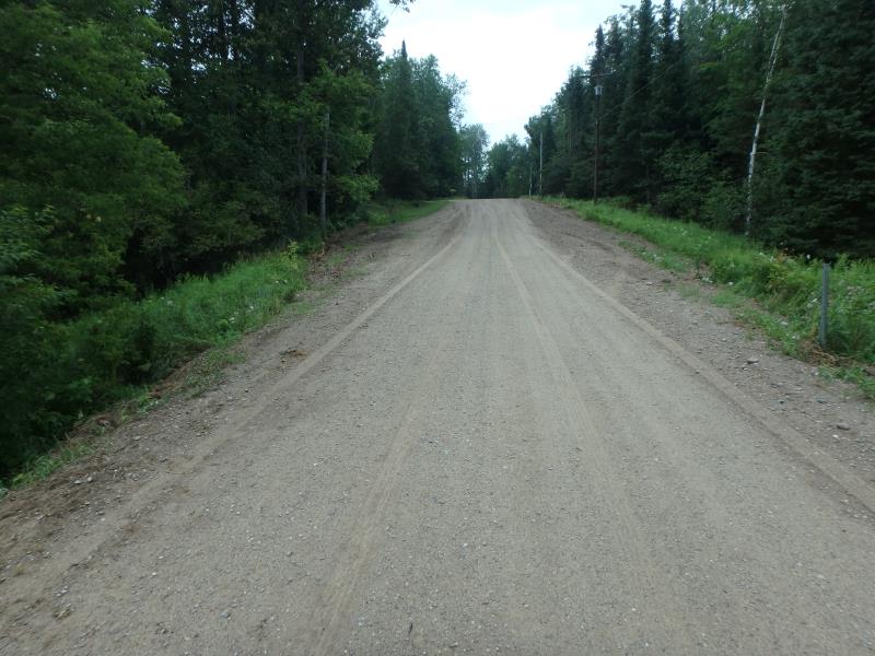
Road Approach - Right
Crossing Information
Type of Crossing: culvert(s)
Number of Structures: 1
Structure Shape: Round
Inlet Type: Projecting
Outlet Type: At Stream Grade
Structure Material: Metal
Structure Substrate: None
General Conditions: Poor
Structure Interior: smooth
Structure is Rusted through
Dimensions of Structure: Length 32 ft.
, Width 8 ft.
, Height 8 ft.
Percentage Crushed:
In Pipe: 1% to 25%
Structure is NOT Perched
Structure Inlet
Water Depth: 2.1 ft.
Embedded Depth of Structure: 0 ft.
Water Velocity*: 0.9 ft./sec.
Structure Outlet
Water Depth: 2.2 ft.
Embedded Depth of Structure: 0 ft.
Water Velocity*: 0.5 ft./sec.
*Water Velocities were measured 1 ft. below Surface
(with Meter)
Stream Information
Stream Flow: Less than Bankfull
Scour Pool: Length 60 ft.
, Width 30 ft.
, Depth 5 ft.
Upstream Pond: Length 50 ft.
, Width 30 ft.
, Depth 2 ft.
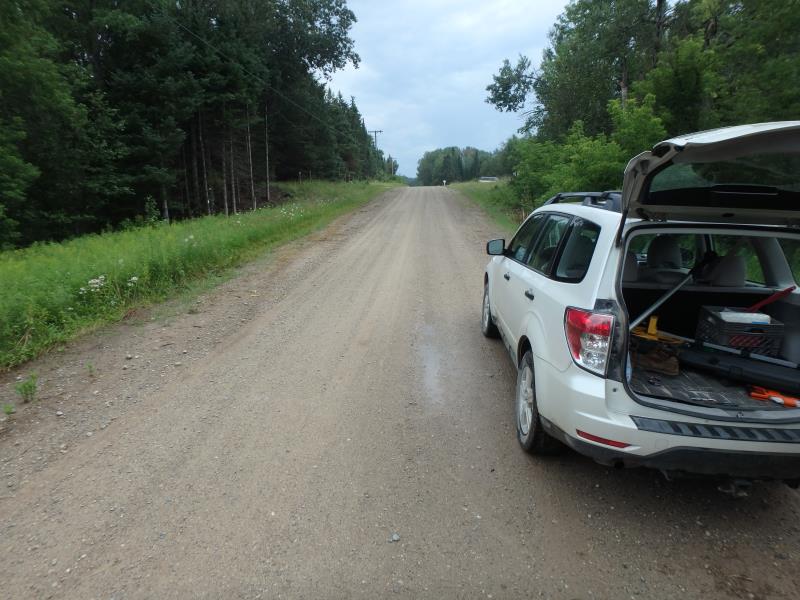
Road Information
Sand
County Road
Road Condition: Fair
Road Width at Culvert: 22 ft.
Location of Low Point: At Stream
Runoff Path: Roadway
Embankments
Upstream
Fill Depth: 3.5 ft.
Slope: Vertical
Downstream
Fill Depth: 2.4 ft.
Slope: 1:1
Approaches
Left Approach
Length: 335 ft.
Slope: 6% to 10%
Vegetation: Heavy
LS Factor: 1.446
Erosion: 2.9348 tons/year
Right Approach
Length: 297 ft.
Slope: 6% to 10%
Vegetation: Heavy
LS Factor: 1.395
Erosion: 2.5114 tons/year
Erosion Information
Total Erosion at Crossing: 5.4462 tons/year
Location of Erosion | Erosion Dimensions | Eroded Material | Material Eroded | Total Erosion | ||
facing downstream | Length | Width | Depth | Reaching Stream? | (tons/year) | |
Left Upstream Embankment |
3 ft. |
2.5 ft. |
1.5 ft. |
yes |
Gravelly Loam |
|
Left Downstream Embankment |
4 ft. |
2 ft. |
1 ft. |
yes |
Gravelly Loam |
|
Summary Information
A future visit to this site is recommended. AGE OF STRUCTURE
These non-native species were observerd at this site: Crown Vetch and Spotted Knapweed
�