Road Stream Crossing Site TBW_TBAC167
Thunder Bay River Watershed, West Branch River
Mount Maria Road
Hawes Twp,
Alcona County
Information collected by:
Site Location
GPS Coordinates: 44.758816
, -83.568592
T27N
R7E
Sec 03
Owned by Private
Structure is NOT Perched
Total Erosion: 0.027 tons/year
Severity: Minor
Year Inventoried: 2017
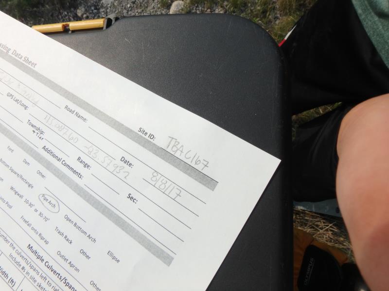
Site ID
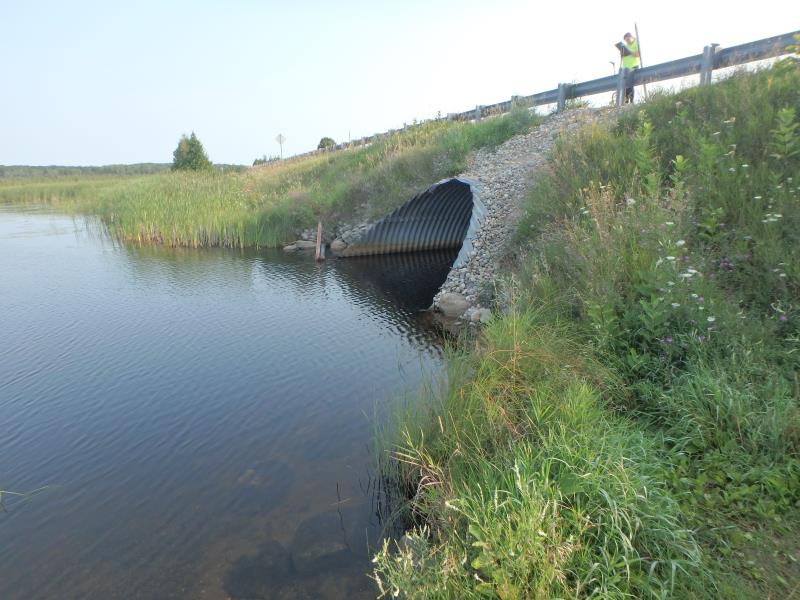
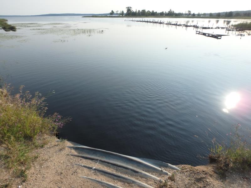
Inlet
Outlet
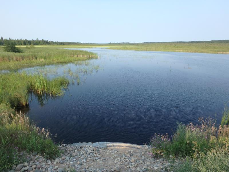
Upstream Conditions
Downstream Conditions
Road Approach - Left
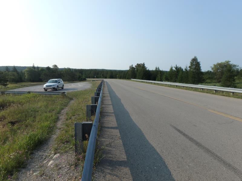
Road Approach - Right
Road Approach - Right
Crossing Information
Type of Crossing: culvert(s)
Number of Structures: 1
Structure Shape: Pipe Arch
Inlet Type: Projecting
Outlet Type: At Stream Grade
Structure Material: Metal
Structure Substrate: None
General Conditions: Fair
Structure Interior: corrugated
Dimensions of Structure: Length 64 ft.
, Width 18 ft.
, Height 11.5 ft.
Structure is NOT Perched
Structure Inlet
Water Depth: 5.5 ft.
Embedded Depth of Structure: 0 ft.
Water Velocity*: 1.1 ft./sec.
Structure Outlet
Water Depth: 5 ft.
Embedded Depth of Structure: 0 ft.
Water Velocity*: 0.8 ft./sec.
*Water Velocities were measured 0.6 ft. below Surface
(with Meter)
Additional Comments
Southern Inlet to hubbard lake no riffle taken/young phrag noticed near 1/10 mile west of culvert on North side of road
Stream Information
Stream Flow: More than Bankfull
Upstream Pond: Length 400 ft.
, Width 300 ft.
Dominant Substrate: Organics
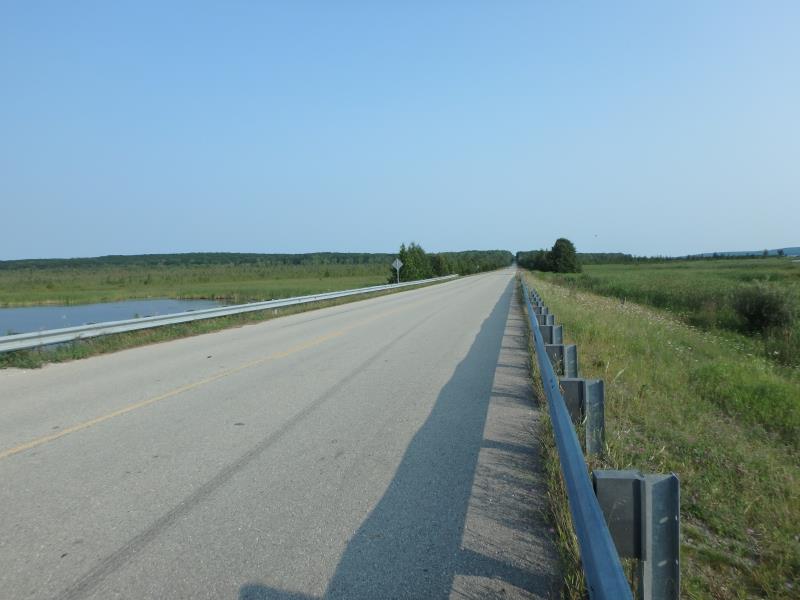
Road Information
Paved
County Road
Road Condition: Fair
Road Width at Culvert: 31 ft.
Location of Low Point: At Stream
Runoff Path: Roadway
Embankments
Upstream
Fill Depth: 4.9 ft.
Slope: 1:2
Downstream
Fill Depth: 4.8 ft.
Slope: More than 1:2
Approaches
Left Approach
Length: 0 ft.
Slope: Less Than 1%
Vegetation: Heavy
LS Factor: 0.05
Erosion: 0 tons/year
Right Approach
Length: 0 ft.
Slope: Less Than 1%
Vegetation: Heavy
LS Factor: 0.05
Erosion: 0 tons/year
Erosion Information
Total Erosion at Crossing: 0.027 tons/year
Extent of Erosion: Minor
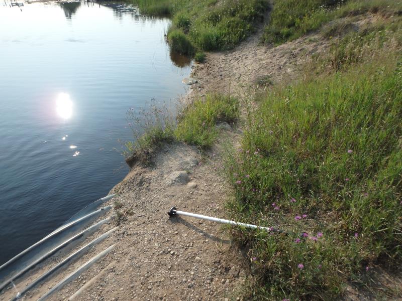
Notes:
FOOT TRAFFIC CAUSING EROSION
Location of Erosion | Erosion Dimensions | Eroded Material | Material Eroded | Total Erosion | ||
facing downstream | Length | Width | Depth | Reaching Stream? | (tons/year) | |
Right Downstream Embankment |
35 ft. |
20 ft. |
0.7 ft. |
yes |
Sand |
0.027 |
Summary Information
Erosion is an area of concern for this site.
These non-native species were observerd at this site: Spotted Knapweed, Mullein, Queen Anne's Lace and Phragmites (possibly native)
�