Road Stream Crossing Site TBW_TBAC173
Thunder Bay River Watershed, Holcomb Creek
N Hubbard Lake Road
Caledonia Twp,
Alcona County
Information collected by:
Site Location
GPS Coordinates: 44.83311
, -83.517
T28N
R8E
Sec 07
Owned by Private
Structure is NOT Perched
Total Erosion: 0.5088 tons/year
Severity: Minor
Year Inventoried: 2017
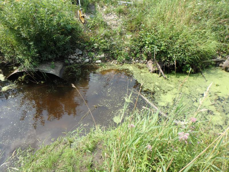
Inlet
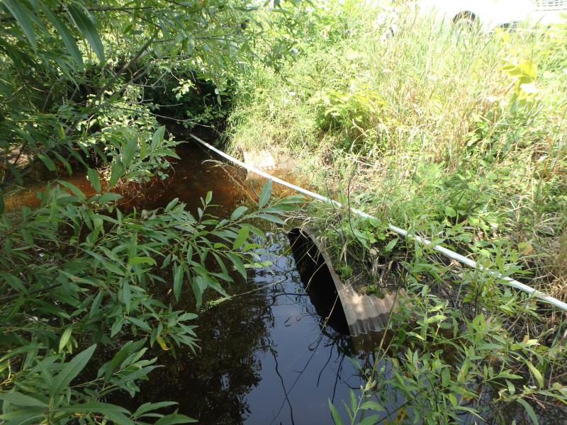
Outlet
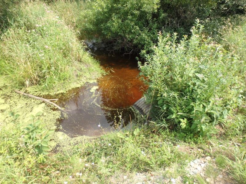
Upstream Conditions
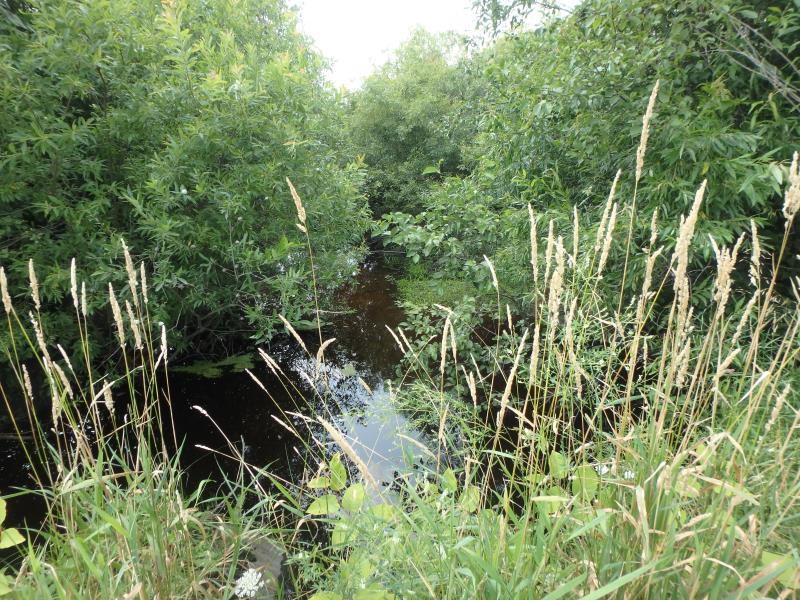
Downstream Conditions
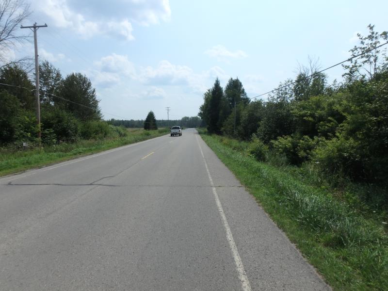
Road Approach - Left
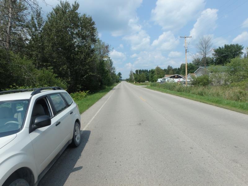
Road Approach - Right
Crossing Information
Type of Crossing: culvert(s)
Number of Structures: 2
Structure Shape: Ellipse
Inlet Type: Projecting
Outlet Type: At Stream Grade
Structure Material: Metal
Structure Substrate: Sand
General Conditions: Poor
Multiple Culverts/Spans | ||||
Culvert/Span | Width | Length | Height | Material |
1 |
6 ft. |
56 ft. |
4 ft. |
Concrete |
2 |
6 ft. |
56 ft. |
4 ft. |
Concrete |
Structure Interior: corrugated
Dimensions of Structure: Length 56 ft.
, Width 6 ft.
, Height 4 ft.
Structure is NOT Perched
Structure Inlet
Water Depth: 2.2 ft.
Embedded Depth of Structure: 1 ft.
Water Velocity*: 0 ft./sec.
Structure Outlet
Water Depth: 2.5 ft.
Embedded Depth of Structure: 0.6 ft.
Water Velocity*: 0 ft./sec.
*Water Velocities were measured at the Surface
(with Meter)
Additional Comments
RIFFLE NOT ACCESSIBLE
Stream Information
Stream Flow: Less than 1/2 Bankfull
Scour Pool: Length 19 ft.
, Width 25 ft.
, Depth 2 ft.
Road Information
Paved
County Road
Road Condition: Fair
Road Width at Culvert: 27 ft.
Location of Low Point: At Stream
Runoff Path: Ditch
Embankments
Upstream
Fill Depth: 4 ft.
Slope: More than 1:2
Downstream
Fill Depth: 4.2 ft.
Slope: More than 1:2
Approaches
Left Approach
Length: 0 ft.
Slope: Less Than 1%
Vegetation: Heavy
LS Factor: 0.05
Erosion: 0 tons/year
Right Approach
Length: 1000 ft.
Slope: 1% to 5%
Vegetation: Heavy
LS Factor: 0.57
Erosion: 0.5088 tons/year
Erosion Information
Total Erosion at Crossing: 0.5088 tons/year
Extent of Erosion: Stabilized
Summary Information
These non-native species were observerd at this site: Queen Anne's Lace
�