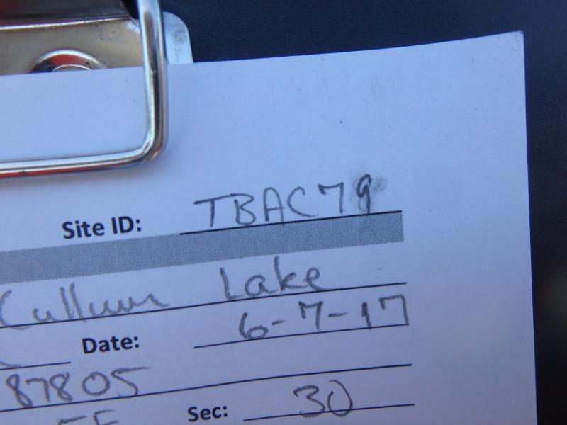
Road Stream Crossing Site TBW_TBAC79
Thunder Bay River Watershed, McGinn Creek tributary
McCullom Lake Road
Mitchell Twp,
Alcona County
Information collected by:
Site Location
GPS Coordinates: 44.78431
, -83.87805
T28N
R5E
Sec 30
Owned by Private
Structure is NOT Perched
Total Erosion: 0.4878 tons/year
Severity: Minor
Year Inventoried: 2017
Site ID
Inlet
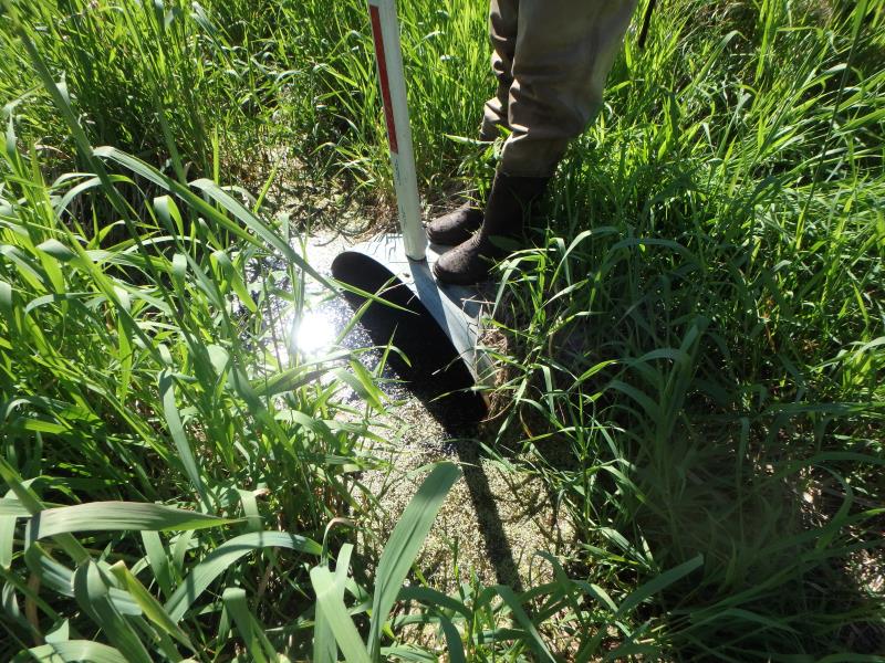
Outlet
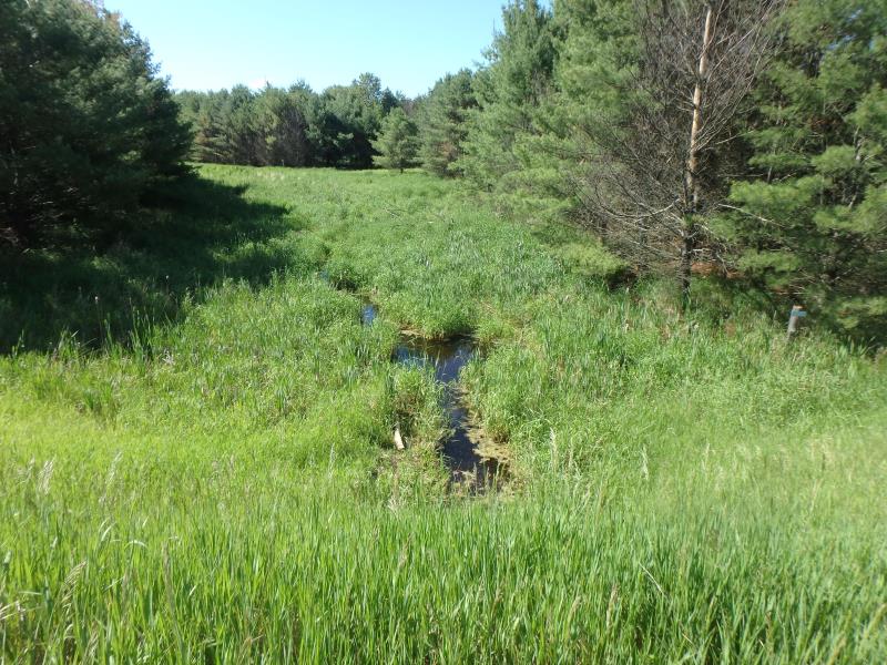
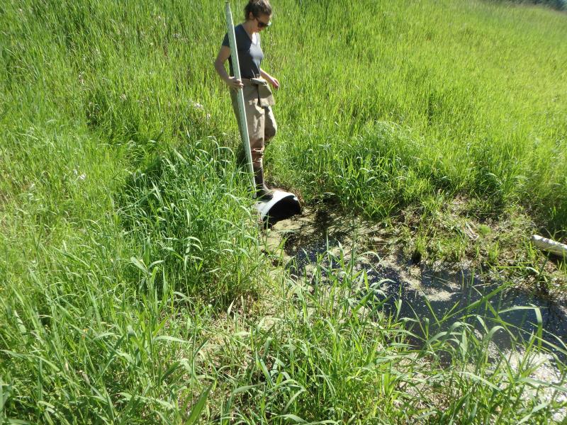
Upstream Conditions
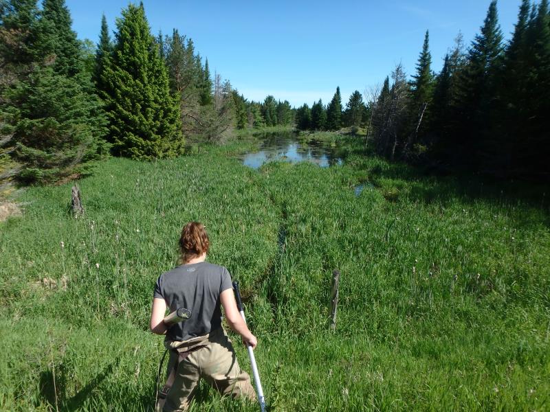
Downstream Conditions
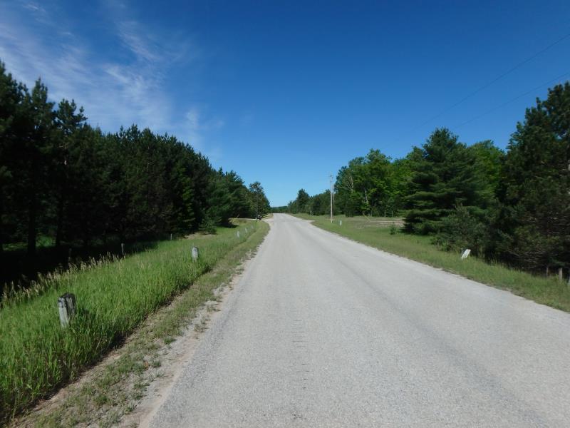
Road Approach - Left
Road Approach - Right
Crossing Information
Type of Crossing: culvert(s)
Number of Structures: 1
Structure Shape: Round
Inlet Type: Projecting
Outlet Type: At Stream Grade
Structure Material: Metal
Structure Substrate: Mixture
General Conditions: Fair
Dimensions of Structure: Length 70 ft.
, Width 2.8 ft.
, Height 2.8 ft.
Structure is NOT Perched
Structure Inlet
Water Depth: 1.4 ft.
Embedded Depth of Structure: 0.25 ft.
Water Velocity*: 0 ft./sec.
Structure Outlet
Water Depth: 1.6 ft.
Embedded Depth of Structure: 0.3 ft.
Water Velocity*: 0 ft./sec.
*Water Velocities were measured 0.5 ft. below Surface
(with Meter)
Additional Comments
LARGE SWAMP (NO RIFFLE TESTED)
Stream Information
Stream Flow: Bankfull
Road Information
Paved
County Road
Road Condition: Good
Road Width at Culvert: 20 ft.
Location of Low Point: At Stream
Runoff Path: Ditch
Embankments
Upstream
Fill Depth: 9 ft.
Slope: 1:2
Downstream
Fill Depth: 9.2 ft.
Slope: 1:2
Approaches
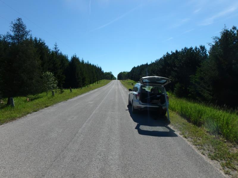
Left Approach
Length: 745 ft.
Slope: 1% to 5%
Vegetation: Heavy
LS Factor: 0.542
Erosion: 0.2668 tons/year
Right Approach
Length: 636 ft.
Slope: 1% to 5%
Vegetation: Heavy
LS Factor: 0.525
Erosion: 0.2209 tons/year
Erosion Information
Total Erosion at Crossing: 0.4878 tons/year
Extent of Erosion: Stabilized
Summary Information
These non-native species were observerd at this site: Mullein
�