Road Stream Crossing Site TBW_TBAC80
Thunder Bay River Watershed, Bruster Creek tributary
McCullom Lake Road
Mitchell Twp,
Alcona County
Information collected by:
Site Location
GPS Coordinates: 44.78439
, -83.84943
T28N
R5E
Sec 29
Owned by Private
Fish Passability 0.9
Structure is NOT Perched
Total Erosion: 0.4951 tons/year
Severity: Minor
Year Inventoried: 2017
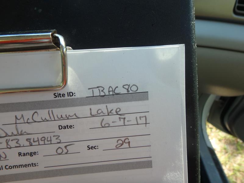
Site ID
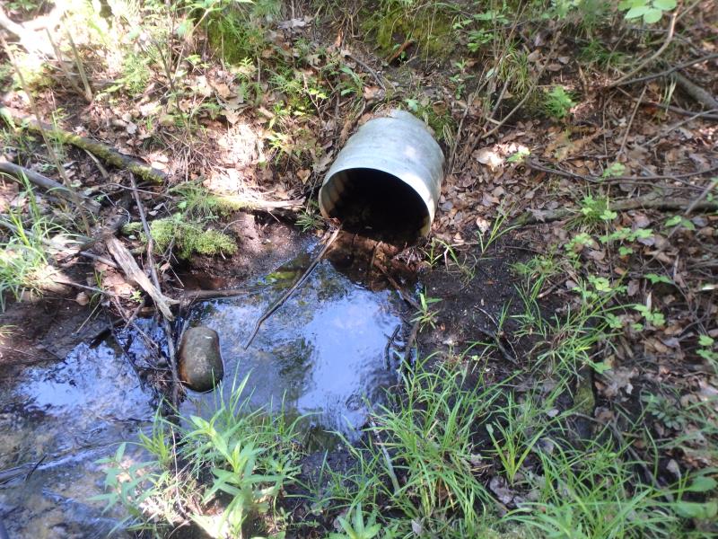
Inlet
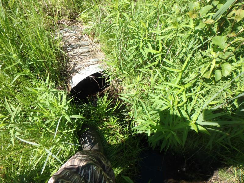
Outlet
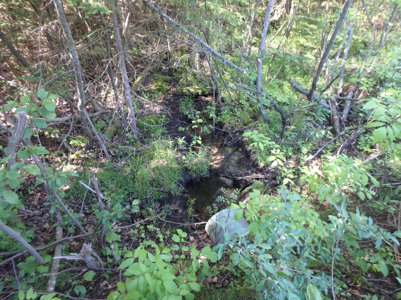
Upstream Conditions
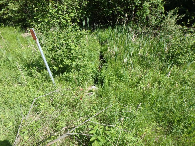
Downstream Conditions
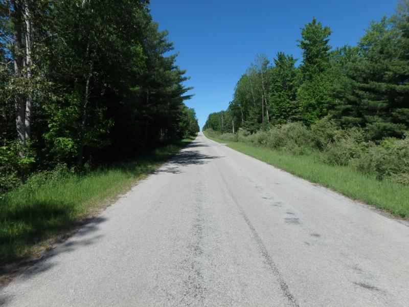
Road Approach - Left
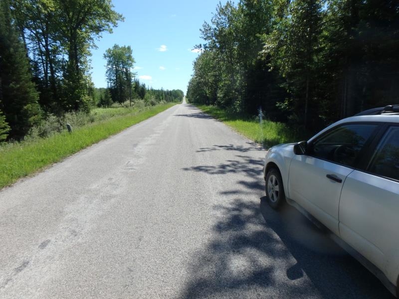
Road Approach - Right
Crossing Information
Type of Crossing: culvert(s)
Number of Structures: 1
Structure Shape: Round
Inlet Type: Projecting
Outlet Type: At Stream Grade
Structure Material: Metal
Structure Substrate: Mixture
General Conditions: Fair
Structure Interior: corrugated
Dimensions of Structure: Length 73 ft.
, Width 1.6 ft.
, Height 1.6 ft.
Structure is NOT Perched
Structure Inlet
Water Depth: 0.2 ft.
Embedded Depth of Structure: 0.3 ft.
Water Velocity*: 0.4 ft./sec.
Structure Outlet
Water Depth: 0.2 ft.
Embedded Depth of Structure: 0.1 ft.
Water Velocity*: 0.4 ft./sec.
*Water Velocities were measured 0.1 ft. below Surface
(with Meter)
Stream Information
Stream Flow: Less than 1/2 Bankfull
Riffle Information
Water Depth: 0.3 ft.
Bankfull Width: 5 ft.
Wetted Width: 1.8 ft.
Water Velocity: 0.3 ft./sec.
(Measured with Meter)
Dominant Substrate: Sand
Road Information
Paved
County Road
Road Condition: Good
Road Width at Culvert: 21.5 ft.
Location of Low Point: At Stream
Runoff Path: Ditch
Embankments
Upstream
Fill Depth: 7.7 ft.
Slope: 1:2
Downstream
Fill Depth: 8.5 ft.
Slope: More than 1:2
Approaches
Left Approach
Length: 1000 ft.
Slope: 1% to 5%
Vegetation: Heavy
LS Factor: 0.57
Erosion: 0.4051 tons/year
Right Approach
Length: 280 ft.
Slope: 1% to 5%
Vegetation: Heavy
LS Factor: 0.452
Erosion: 0.09 tons/year
Erosion Information
Total Erosion at Crossing: 0.4951 tons/year
Extent of Erosion: Stabilized
Summary Information
Fish Passability 0.9
These non-native species were observerd at this site: Autumn Olive and Spotted Knapweed
�