Road Stream Crossing Site TBW_TBAC81
Thunder Bay River Watershed, McGinn Creek
M 65
Mitchell Twp,
Alcona County
Information collected by:
Site Location
GPS Coordinates: 44.80072
, -83.82826
T28N
R5E
Sec 22
Owned by Private
Fish Passability 1
Structure is NOT Perched
Total Erosion: 1.1683 tons/year
Severity: Moderate
Year Inventoried: 2017
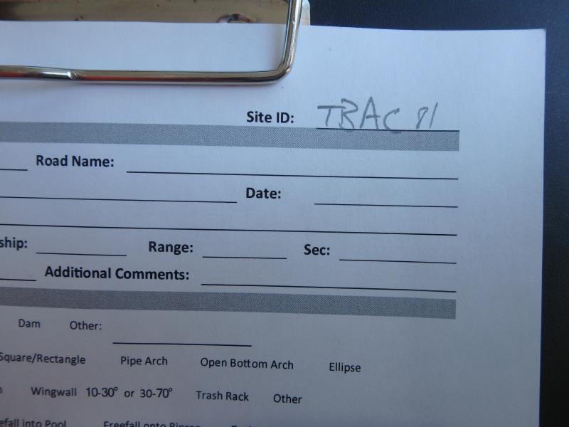
Site ID
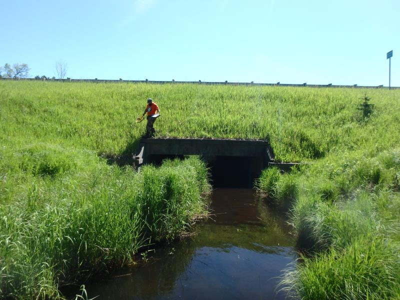
Inlet
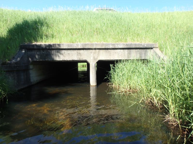
Outlet
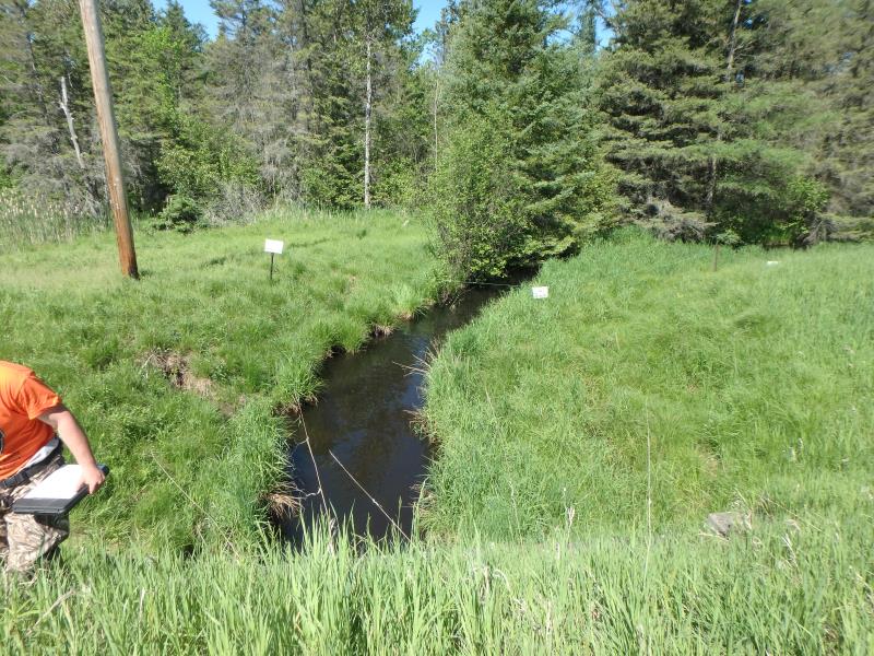
Upstream Conditions
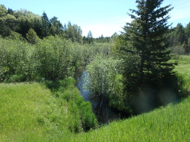
Downstream Conditions
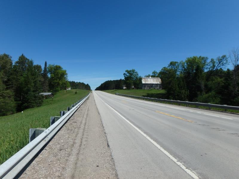
Road Approach - Left
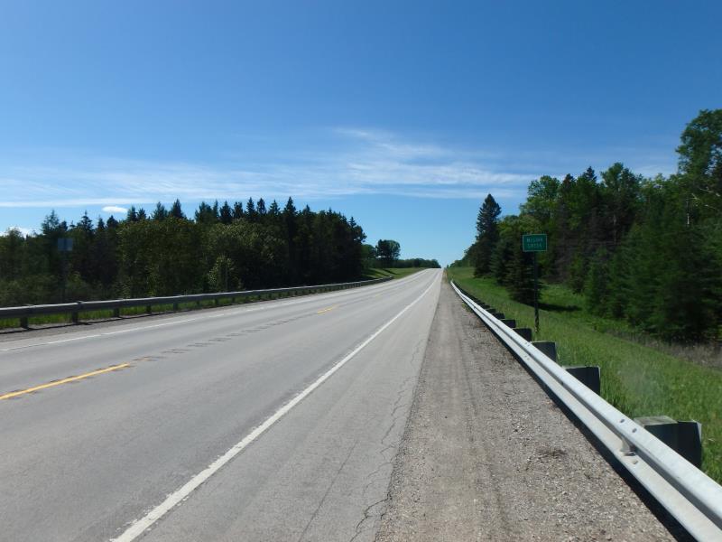
Road Approach - Right
Crossing Information
Type of Crossing: culvert(s)
Number of Structures: 2
Structure Shape: Square/Rectangle
Inlet Type: Projecting
Outlet Type: At Stream Grade
Structure Material: Concrete
Structure Substrate: Sand
General Conditions: Good
Multiple Culverts/Spans | ||||
Culvert/Span | Width | Length | Height | Material |
1 |
7.5 ft. |
95 ft. |
6 ft. |
Concrete |
2 |
7.5 ft. |
95 ft. |
6 ft. |
Concrete |
Structure Interior: smooth
Dimensions of Structure: Length 95 ft.
, Width 7.5 ft.
, Height 6 ft.
Structure is NOT Perched
Structure Inlet
Water Depth: 2.3 ft.
Embedded Depth of Structure: 0 ft.
Water Velocity*: 0.6 ft./sec.
Structure Outlet
Water Depth: 2.1 ft.
Embedded Depth of Structure: 0.5 ft.
Water Velocity*: 0.6 ft./sec.
*Water Velocities were measured 1.4 ft. below Surface
(with Meter)
Stream Information
Stream Flow: Bankfull
Riffle Information
Water Depth: 2.65 ft.
Bankfull Width: 14 ft.
Wetted Width: 13.5 ft.
Water Velocity: 0.5 ft./sec.
(Measured with Meter)
Dominant Substrate: Silt
Road Information
Paved
State Road
Road Condition: Good
Road Width at Culvert: 31 ft.
Location of Low Point: At Stream
Runoff Path: Ditch
Embankments
Upstream
Fill Depth: 11.7 ft.
Slope: More than 1:2
Downstream
Fill Depth: 12.2 ft.
Slope: 1:2
Approaches
Left Approach
Length: 1000 ft.
Slope: 1% to 5%
Vegetation: Heavy
LS Factor: 0.57
Erosion: 0.5841 tons/year
Right Approach
Length: 1000 ft.
Slope: 1% to 5%
Vegetation: Heavy
LS Factor: 0.57
Erosion: 0.5841 tons/year
Erosion Information
Total Erosion at Crossing: 1.1683 tons/year
Summary Information
Fish Passability 1
�