Road Stream Crossing Site TBW_TBAC84
Thunder Bay River Watershed, Indian Creek
Vanwagoner Road
Mitchell Twp,
Alcona County
Information collected by:
Site Location
GPS Coordinates: 44.84165
, -83.82461
T28N
R5E
Sec 02
Owned by Private
Fish Passability 0
Structure is NOT Perched
Total Erosion: 0.6273 tons/year
Severity: Severe
Year Inventoried: 2017
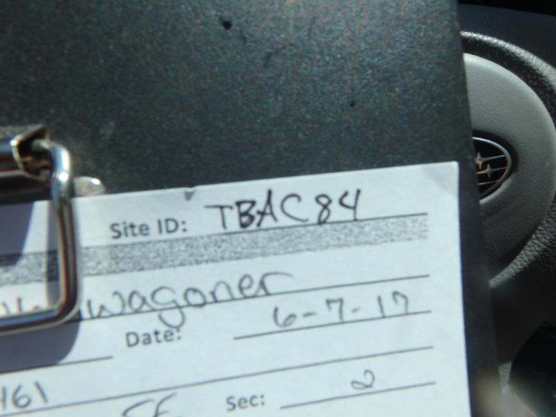
Site ID
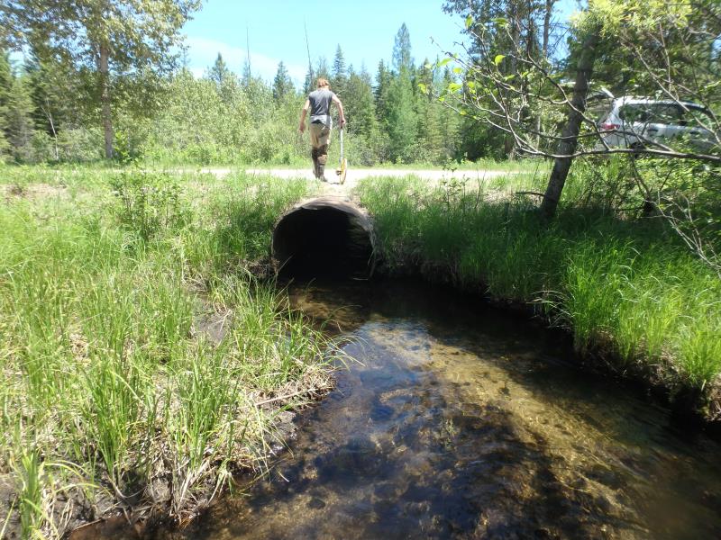
Inlet
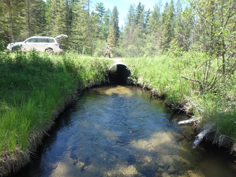
Outlet
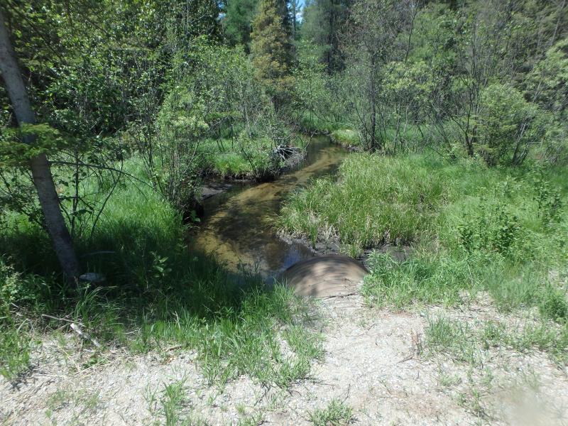
Upstream Conditions
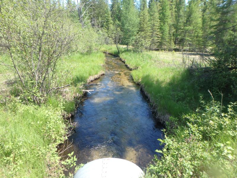
Downstream Conditions
Road Approach - Left
Road Approach - Right
Crossing Information
Type of Crossing: culvert(s)
Number of Structures: 1
Structure Shape: Round
Inlet Type: Projecting
Outlet Type: At Stream Grade
Structure Material: Metal
Structure Substrate: None
General Conditions: Poor
Structure Interior: corrugated
Structure is Rusted through
Dimensions of Structure: Length 40 ft.
, Width 4 ft.
, Height 4 ft.
Structure is NOT Perched
Structure Inlet
Water Depth: 1.1 ft.
Embedded Depth of Structure: 0 ft.
Water Velocity*: 3.6 ft./sec.
Structure Outlet
Water Depth: 0.7 ft.
Embedded Depth of Structure: 0 ft.
Water Velocity*: 2 ft./sec.
*Water Velocities were measured 0.5 ft. below Surface
(with Meter)
Stream Information
Stream Flow: Less than 1/2 Bankfull
Scour Pool: Length 17.5 ft.
, Width 12 ft.
, Depth 2.2 ft.
Riffle Information
Water Depth: 0.9 ft.
Bankfull Width: 12 ft.
Wetted Width: 10.5 ft.
Water Velocity: 0.6 ft./sec.
(Measured with Meter)
Dominant Substrate: Sand
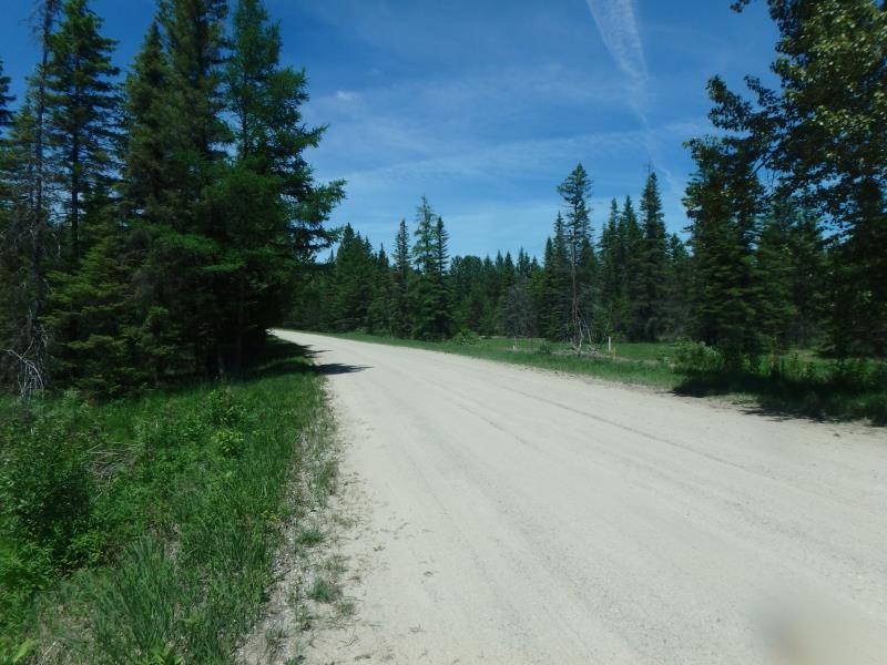
Road Information
Sand
County Road
Road Condition: Fair
Road Width at Culvert: 23 ft.
Location of Low Point: Other
Runoff Path: Ditch
Fill Depth: 0 ft.
Slope: Vertical
Fill Depth: 0 ft.
Slope: Vertical
Approaches
Left Approach
Length: 100 ft.
Slope: 6% to 10%
Vegetation: Heavy
LS Factor: 0.99
Erosion: 0.6273 tons/year
Right Approach
Length: 0 ft.
Slope: Less Than 1%
Vegetation: Heavy
LS Factor: 0.05
Erosion: 0 tons/year
Erosion Information
Total Erosion at Crossing: 0.6273 tons/year
Extent of Erosion: Minor
Summary Information
Fish Passability 0
Fish Passage is an area of concern for this site.
VELOCITY
�