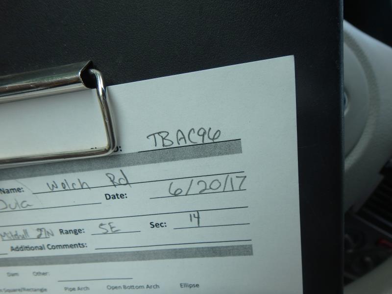
Road Stream Crossing Site TBW_TBAC96
Thunder Bay River Watershed, Little Wolf Creek
Welch Road
Mitchell Twp,
Alcona County
Information collected by:
Site Location
GPS Coordinates: 44.72344
, -83.80762
T27N
R5E
Sec 14
Owned by Private
Fish Passability 0.5
Structure is NOT Perched
Total Erosion: 15.2547 tons/year
Severity: Severe
Year Inventoried: 2017
Site ID
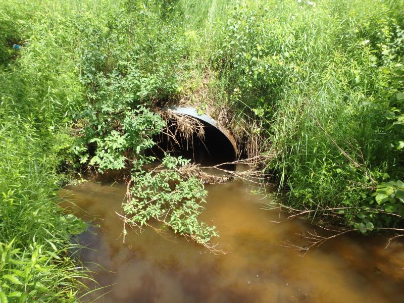
Inlet
Outlet
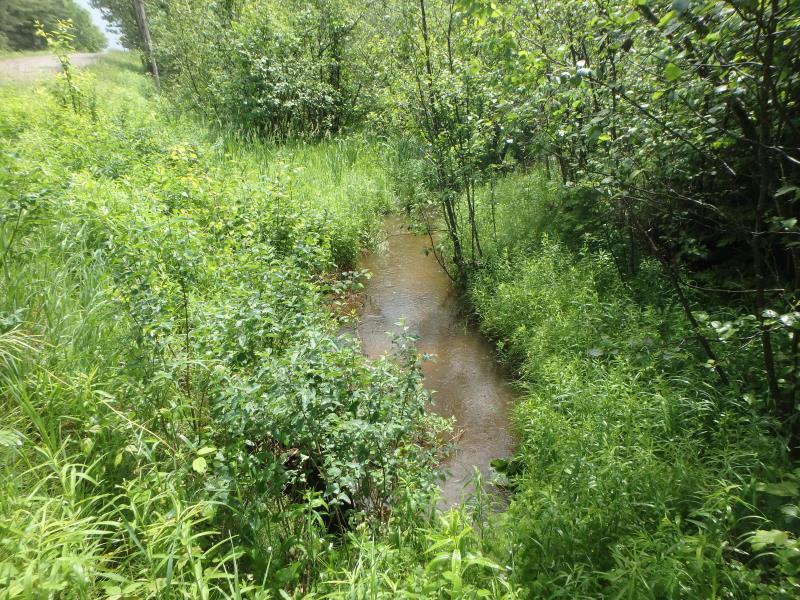
Upstream Conditions
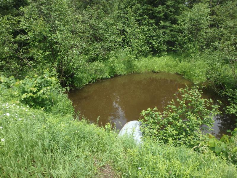
Downstream Conditions
Road Approach - Left
Road Approach - Right
Crossing Information
Type of Crossing: culvert(s)
Number of Structures: 1
Structure Shape: Round
Inlet Type: Projecting
Outlet Type: At Stream Grade
Structure Material: Metal
Structure Substrate: None
General Conditions: Fair
Structure Interior: corrugated
Dimensions of Structure: Length 66 ft.
, Width 5 ft.
, Height 5 ft.
Structure is NOT Perched
Structure Inlet
Water Depth: 1.8 ft.
Embedded Depth of Structure: 0 ft.
Water Velocity*: 1.3 ft./sec.
Structure Outlet
Water Depth: 2.2 ft.
Embedded Depth of Structure: 0 ft.
Water Velocity*: 1.6 ft./sec.
*Water Velocities were measured 0.4 ft. below Surface
(with Meter)
Stream Information
Stream Flow: Less than Bankfull
Scour Pool: Length 35 ft.
, Width 35 ft.
, Depth 6.2 ft.
Riffle Information
Water Depth: 1.3 ft.
Bankfull Width: 14 ft.
Wetted Width: 11 ft.
Water Velocity: 1.1 ft./sec.
(Measured with Meter)
Dominant Substrate: Sand
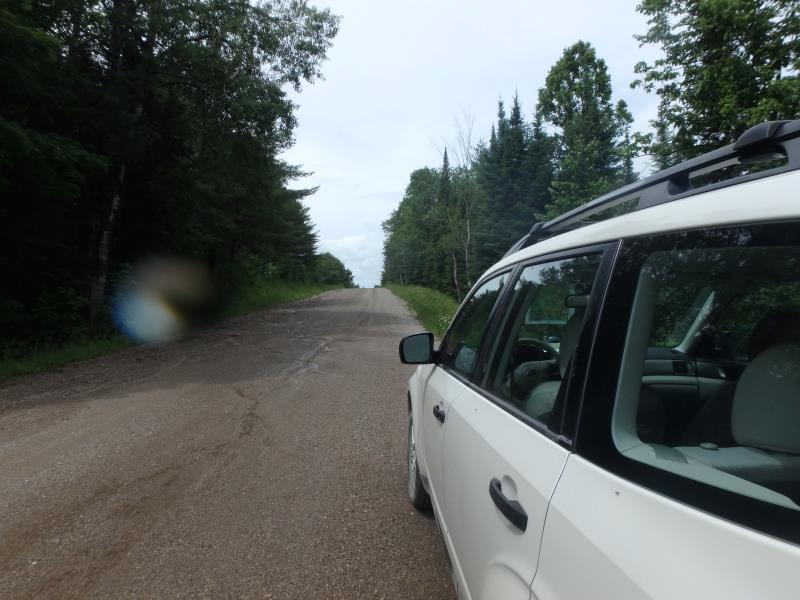
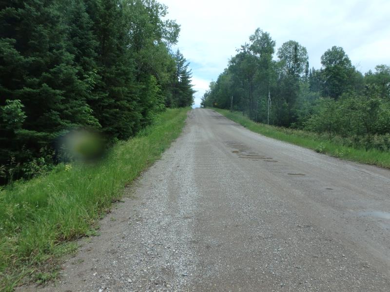
Road Information
Gravel
County Road
Road Condition: Poor
Road Width at Culvert: 26 ft.
Location of Low Point: At Stream
Runoff Path: Roadway
Embankments
Upstream
Fill Depth: 8 ft.
Slope: 1:2
Downstream
Fill Depth: 5.8 ft.
Slope: 1:2
Approaches
Left Approach
Length: 633 ft.
Slope: 6% to 10%
Vegetation: Heavy
LS Factor: 1.768
Erosion: 8.0161 tons/year
Right Approach
Length: 550 ft.
Slope: 6% to 10%
Vegetation: Heavy
LS Factor: 1.688
Erosion: 6.6477 tons/year
Erosion Information
Total Erosion at Crossing: 15.2547 tons/year
Extent of Erosion: Moderate
Location of Erosion | Erosion Dimensions | Eroded Material | Material Eroded | Total Erosion | ||
facing downstream | Length | Width | Depth | Reaching Stream? | (tons/year) | |
Left Approach |
600 ft. |
0.5 ft. |
0.1 ft. |
yes |
Gravelly Loam |
0.42 |
Right Approach |
200 ft. |
0.5 ft. |
0.1 ft. |
no |
Gravelly Loam |
0.14 |
Left Downstream Streambank |
10 ft. |
3 ft. |
0.5 ft. |
yes |
Loam |
0.0308 |
Summary Information
Fish Passability 0.5
Erosion is an area of concern for this site.
EROSION AND SCOUR POOL.
A future visit to this site is recommended. CULVERT LOOKS LIKE IT NEEDED TO BE PUT IN AT AN ANGLE AND IT IS PERPENDICULAR TO THE ROAD.
These non-native species were observerd at this site: Spotted Knapweed
�