Road Stream Crossing Site TBW_TBAP103
Thunder Bay River Watershed, Jewett Creek
M 32
Green Twp,
Alpena County
Information collected by:
Site Location
GPS Coordinates: 45.05958
, -83.81451
T31N
R5E
Sec 22
Owned by Private
Fish Passability 0.9
Structure is NOT Perched
Total Erosion: 1.5828 tons/year
Severity: Moderate
Year Inventoried: 2017

Site ID
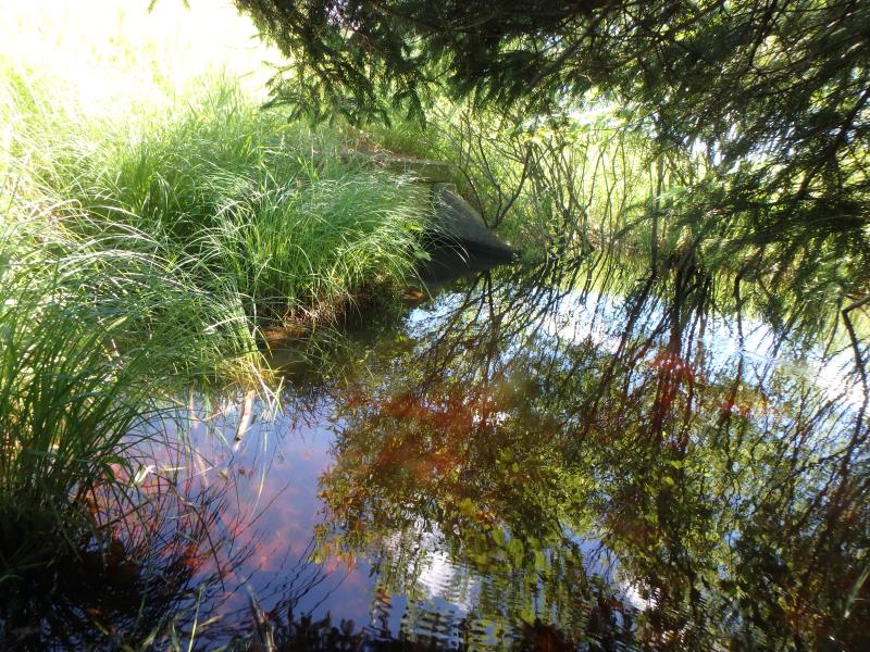
Inlet
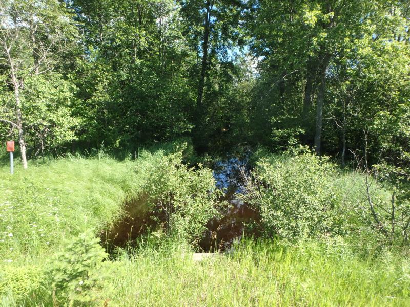
Outlet
Upstream Conditions
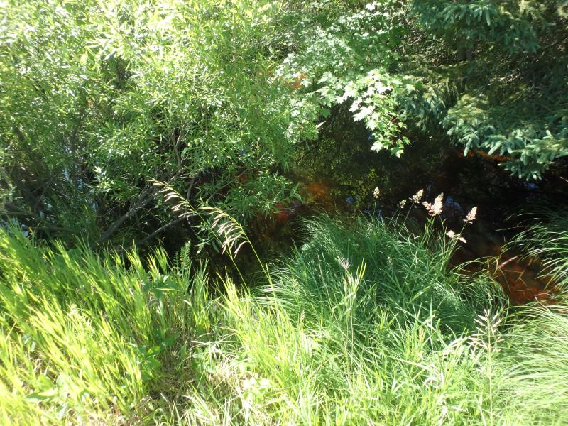
Downstream Conditions
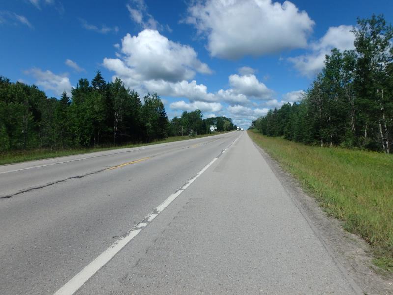
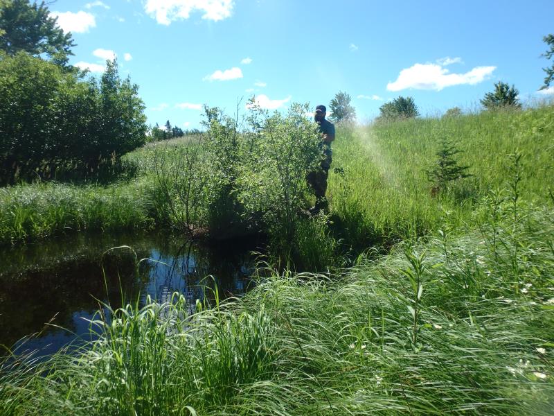
Road Approach - Left
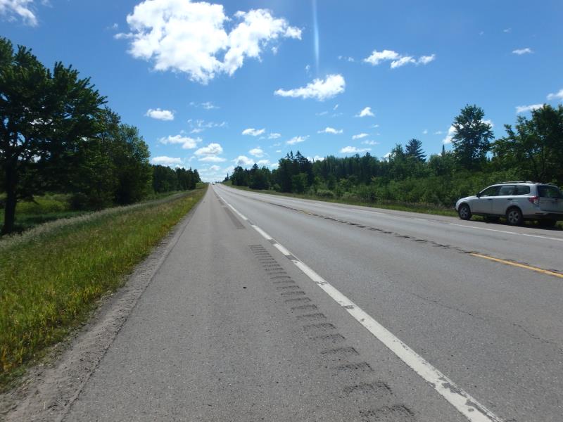
Road Approach - Right
Crossing Information
Type of Crossing: culvert(s)
Number of Structures: 1
Structure Shape: Square/Rectangle
Inlet Type: Headwall
Outlet Type: At Stream Grade
Structure Material: Concrete
Structure Substrate: Sand
General Conditions: Good
Structure Interior: smooth
Dimensions of Structure: Length 115 ft.
, Width 6 ft.
, Height 4 ft.
Structure is NOT Perched
Structure Inlet
Water Depth: 3.7 ft.
Embedded Depth of Structure: 0 ft.
Water Velocity*: 0.8 ft./sec.
Structure Outlet
Water Depth: 3.3 ft.
Embedded Depth of Structure: 0.4 ft.
Water Velocity*: 0.8 ft./sec.
*Water Velocities were measured 1 ft. below Surface
(with Meter)
Additional Comments
Could not access riffle (used TBAP102 for riffle calculations)
Stream Information
Stream Flow: Bankfull
Riffle Information
Water Depth: 2.6 ft.
Bankfull Width: 14 ft.
Wetted Width: 25 ft.
Water Velocity: 0.8 ft./sec.
(Measured with Meter)
Dominant Substrate: Gravel
Road Information
Paved
State Road
Road Condition: Good
Road Width at Culvert: 42 ft.
Location of Low Point: At Stream
Runoff Path: Ditch
Embankments
Upstream
Fill Depth: 6.5 ft.
Slope: More than 1:2
Downstream
Fill Depth: 7 ft.
Slope: More than 1:2
Approaches
Left Approach
Length: 1000 ft.
Slope: 1% to 5%
Vegetation: Heavy
LS Factor: 0.57
Erosion: 0.7914 tons/year
Right Approach
Length: 1000 ft.
Slope: 1% to 5%
Vegetation: Heavy
LS Factor: 0.57
Erosion: 0.7914 tons/year
Erosion Information
Total Erosion at Crossing: 1.5828 tons/year
Extent of Erosion: Minor
Summary Information
Fish Passability 0.9
�