Road Stream Crossing Site TBW_TBAP107
Thunder Bay River Watershed, Unnamed Thunder Bay tributary
Doyle School Road
Green Twp,
Alpena County
Information collected by:
Site Location
GPS Coordinates: 45.04379
, -83.75751
T31N
R5E
Sec 31
Owned by Private
Fish Passability 0.9
Structure is NOT Perched
Total Erosion: 0 tons/year
Severity: Moderate
Year Inventoried: 2017
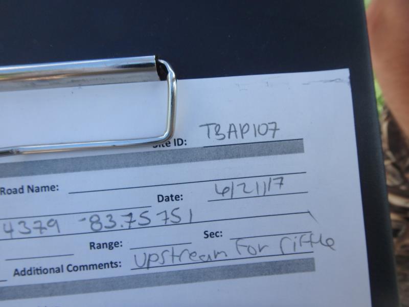
Site ID
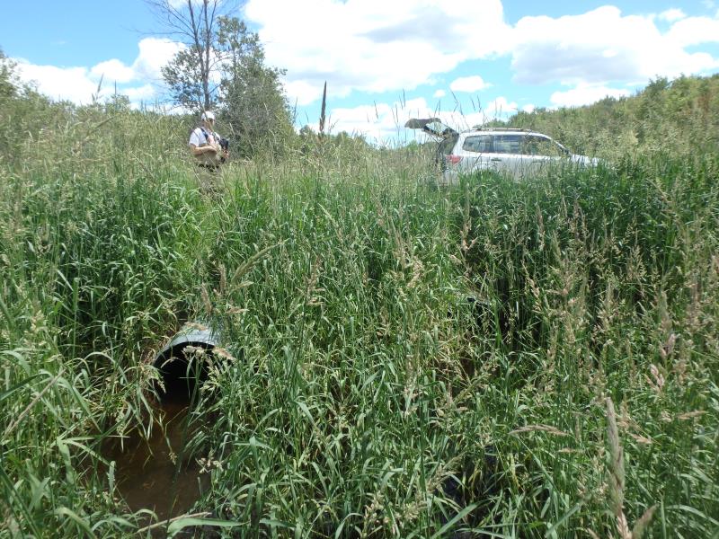
Inlet
Outlet
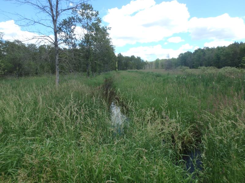
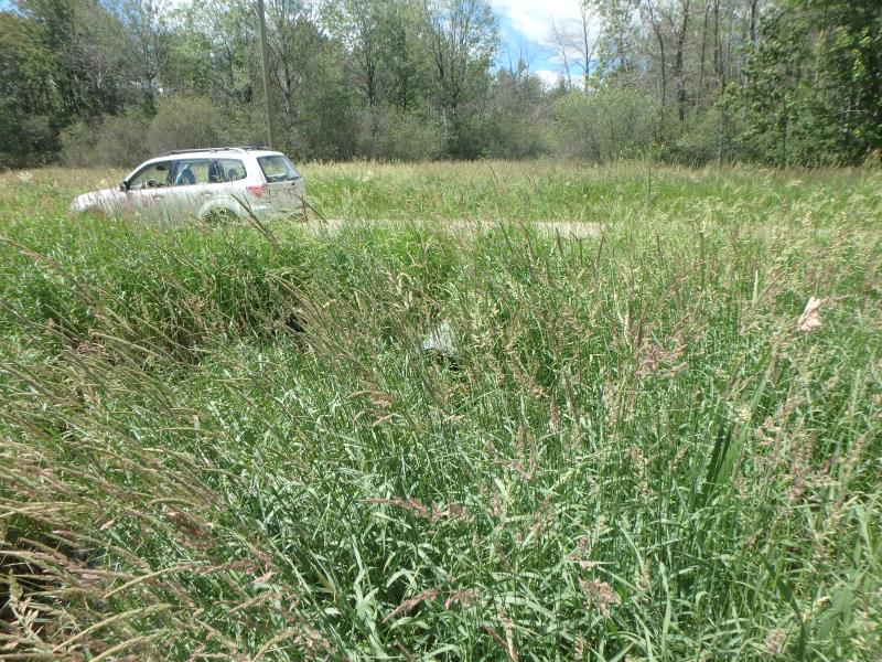
Upstream Conditions
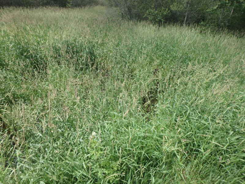
Downstream Conditions
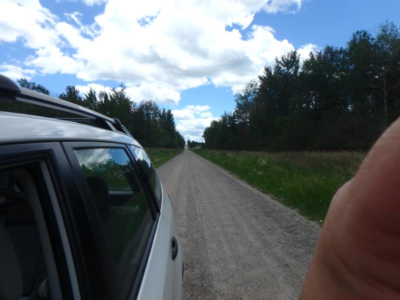
Road Approach - Left
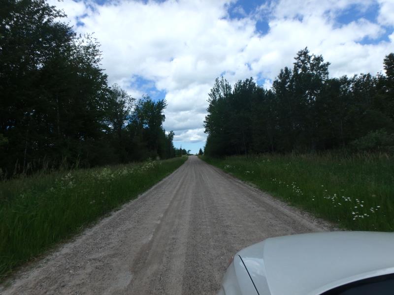
Road Approach - Right
Crossing Information
Type of Crossing: culvert(s)
Number of Structures: 1
Structure Shape: Round
Inlet Type: Projecting
Outlet Type: At Stream Grade
Structure Material: Metal
Structure Substrate: Gravel
General Conditions: Fair
Multiple Culverts/Spans | ||||
Culvert/Span | Width | Length | Height | Material |
1 |
2 ft. |
37 ft. |
2 ft. |
Metal |
2 |
2 ft. |
27 ft. |
2 ft. |
Metal |
Structure Interior: corrugated
Dimensions of Structure: Length 27 ft.
, Width 2 ft.
, Height 2 ft.
Structure is NOT Perched
Structure Inlet
Water Depth: 0.9 ft.
Embedded Depth of Structure: 0 ft.
Water Velocity*: 0.2 ft./sec.
Structure Outlet
Water Depth: 0.8 ft.
Embedded Depth of Structure: 0.1 ft.
Water Velocity*: 0 ft./sec.
*Water Velocities were measured 0.3 ft. below Surface
(with Meter)
Additional Comments
USED UPSTREAM RIFFLE AS A REFERENCE RIFFLE
Stream Information
Stream Flow: More than Bankfull
Riffle Information
Water Depth: 2 ft.
Bankfull Width: 14 ft.
Wetted Width: 9.5 ft.
Water Velocity: 0 ft./sec.
(Measured with Meter)
Dominant Substrate: Organics
Road Information
Sand
County Road
Road Condition: Fair
Road Width at Culvert: 17 ft.
Location of Low Point: At Stream
Runoff Path: Roadway
Embankments
Upstream
Fill Depth: 1.7 ft.
Slope: More than 1:2
Downstream
Fill Depth: 1.7 ft.
Slope: More than 1:2
Approaches
Left Approach
Length: 0 ft.
Slope: Less Than 1%
Vegetation: Heavy
LS Factor: 0.05
Erosion: 0 tons/year
Right Approach
Length: 0 ft.
Slope: Less Than 1%
Vegetation: Heavy
LS Factor: 0.05
Erosion: 0 tons/year
Erosion Information
Total Erosion at Crossing: 0 tons/year
Extent of Erosion: Minor
Erosion is occurring and corrective actions can be installed to address the problem.
Summary Information
Fish Passability 0.9
�