Road Stream Crossing Site TBW_TBAP125
Thunder Bay River Watershed, King Creek
Nappers Road
Wilson Twp,
Alpena County
Information collected by:
Site Location
GPS Coordinates: 45.00359
, -83.67691
T30N
R6E
Sec 11
Owned by Private
Fish Passability 1
Structure is NOT Perched
Total Erosion: 3.0369 tons/year
Severity: Severe
Year Inventoried: 2017

Site ID
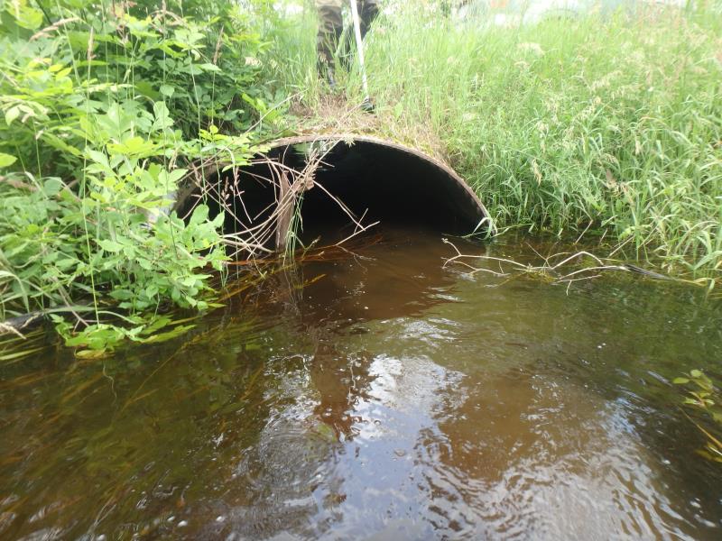
Inlet
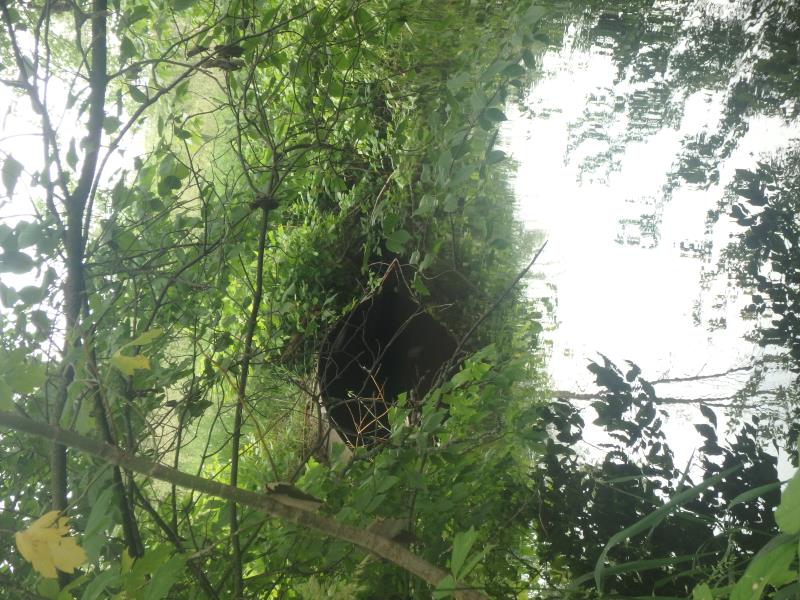
Outlet
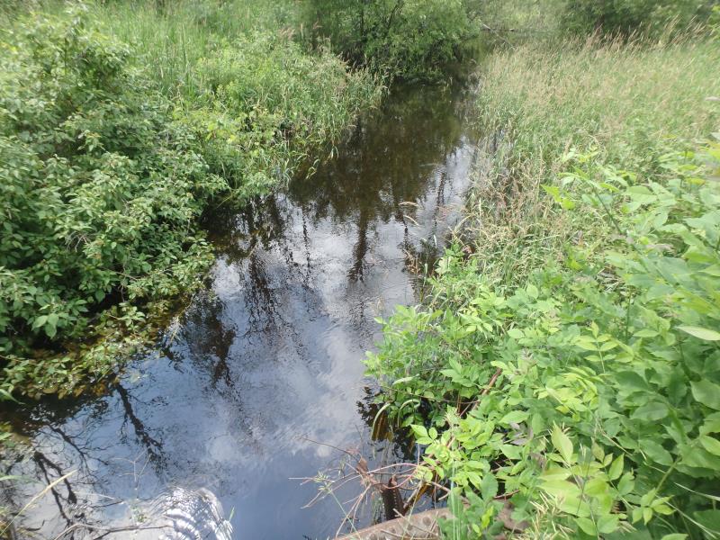
Upstream Conditions
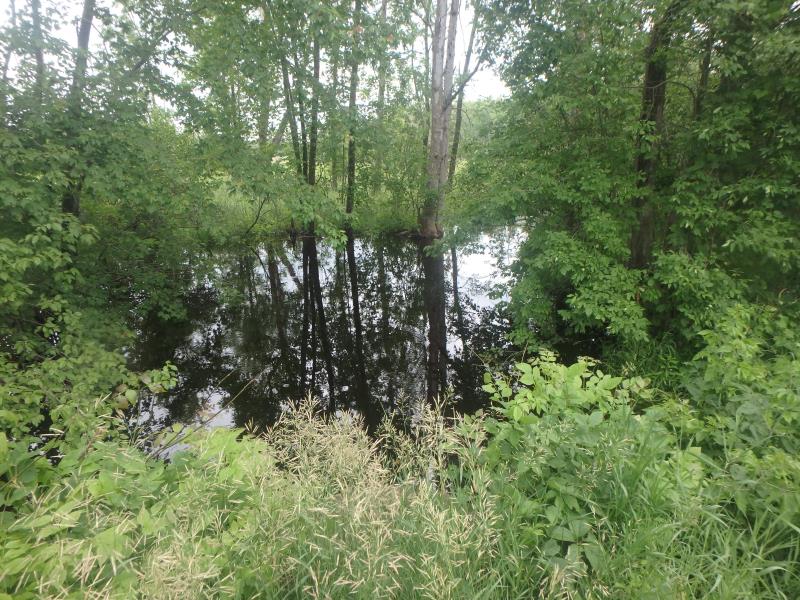
Downstream Conditions
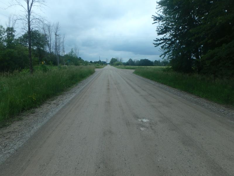
Road Approach - Left

Road Approach - Right
Crossing Information
Type of Crossing: culvert(s)
Number of Structures: 1
Structure Shape: Ellipse
Inlet Type: Projecting
Outlet Type: At Stream Grade
Structure Material: Metal
Structure Substrate: Rock
General Conditions: Poor
Structure Interior: smooth
Dimensions of Structure: Length 47.5 ft.
, Width 7 ft.
, Height 6 ft.
Structure is NOT Perched
Structure Inlet
Water Depth: 3.9 ft.
Embedded Depth of Structure: 0.3 ft.
Water Velocity*: 1.2 ft./sec.
Structure Outlet
Water Depth: 3.8 ft.
Embedded Depth of Structure: 0.3 ft.
Water Velocity*: 0.7 ft./sec.
*Water Velocities were measured 0.9 ft. below Surface
(with Meter)
Stream Information
Stream Flow: More than Bankfull
Riffle Information
Water Depth: 2.2 ft.
Bankfull Width: 6 ft.
Wetted Width: 100 ft.
Water Velocity: 0.9 ft./sec.
(Measured with Meter)
Dominant Substrate: Sand
Road Information
Sand
County Road
Road Condition: Fair
Road Width at Culvert: 25.5 ft.
Location of Low Point: At Stream
Runoff Path: Roadway
Embankments
Upstream
Fill Depth: 1 ft.
Slope: More than 1:2
Downstream
Fill Depth: 1 ft.
Slope: More than 1:2
Approaches
Left Approach
Length: 1000 ft.
Slope: Less Than 1%
Vegetation: Heavy
LS Factor: 0.05
Erosion: 0.3512 tons/year
Right Approach
Length: 712 ft.
Slope: 1% to 5%
Vegetation: Heavy
LS Factor: 0.537
Erosion: 2.6849 tons/year
Erosion Information
Total Erosion at Crossing: 3.0369 tons/year
Extent of Erosion: Minor
Erosion is occurring and corrective actions can be installed to address the problem.
Location of Erosion | Erosion Dimensions | Eroded Material | Material Eroded | Total Erosion | ||
facing downstream | Length | Width | Depth | Reaching Stream? | (tons/year) | |
Right Downstream Embankment |
3 ft. |
4 ft. |
0.4 ft. |
yes |
Clay |
0.0008 |
Summary Information
Fish Passability 1
A future visit to this site is recommended. WATER LEVEL WASVERY HIGH IN THIS AREA WHEN CONDUCTING INVENTORY
These non-native species were observerd at this site: Spotted Knapweed and Canada Thistle
�