Road Stream Crossing Site TBW_TBAP126
Thunder Bay River Watershed, King Creek
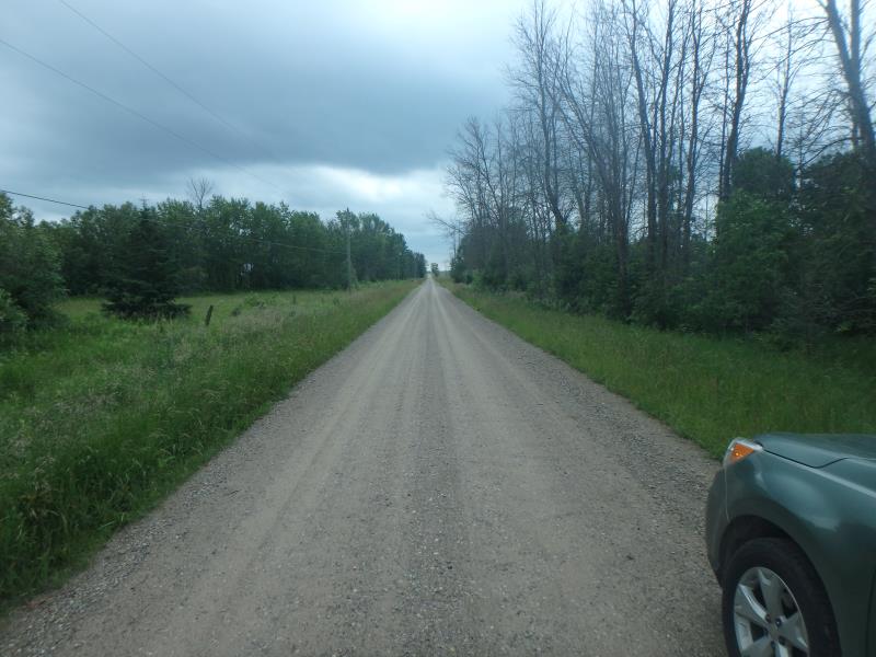
Prevo Road
Wilson Twp,
Alpena County
Information collected by:
Site Location
GPS Coordinates: 45.00327
, -83.67751
T30N
R6E
Sec 14
Owned by Private
Fish Passability 1
Structure is NOT Perched
Total Erosion: 0 tons/year
Severity: Minor
Year Inventoried: 2017

Site ID
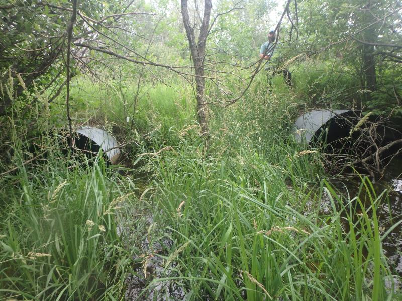
Inlet
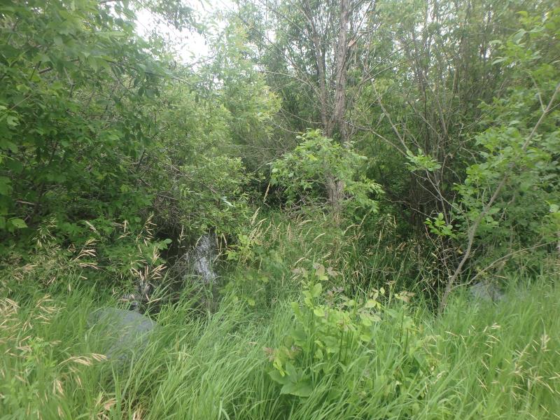
Upstream Conditions
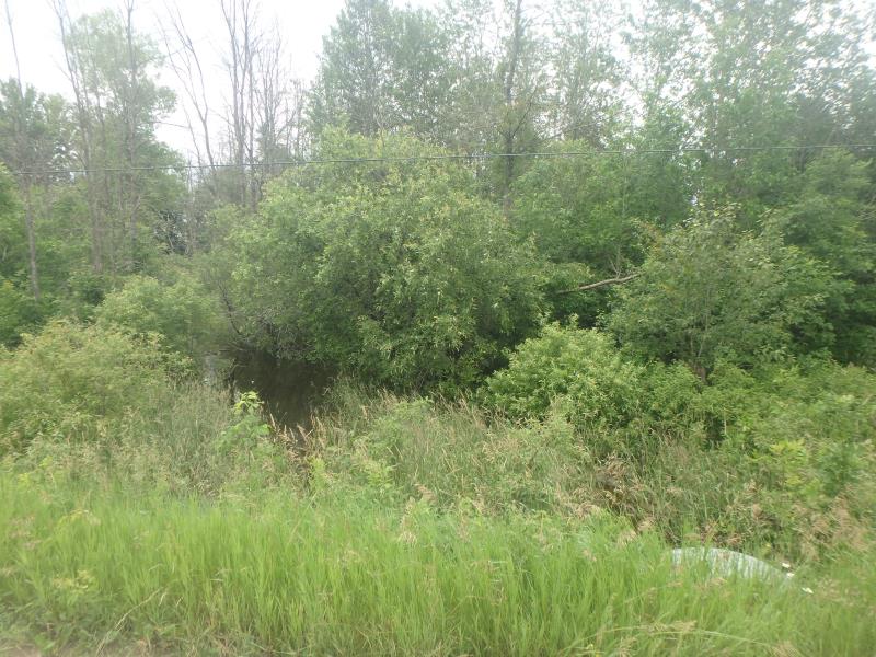
Downstream Conditions
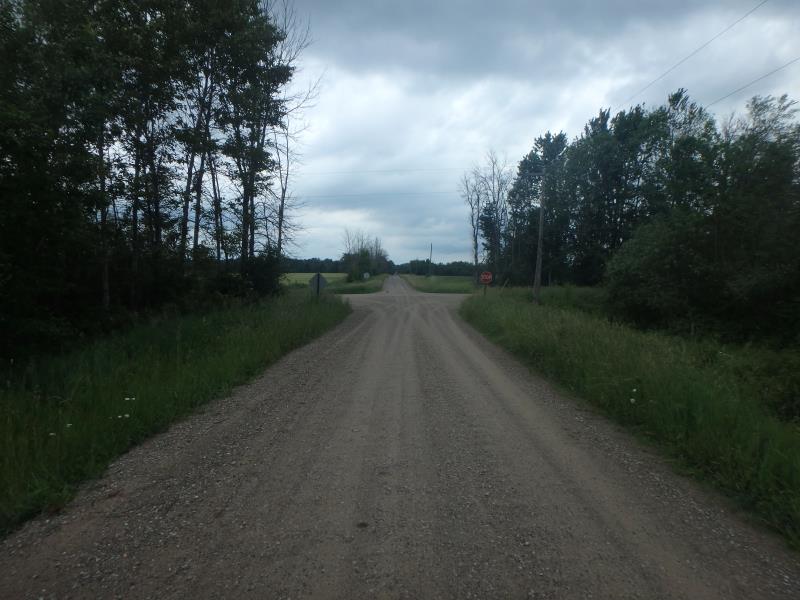
Road Approach - Left
Road Approach - Right
Crossing Information
Type of Crossing: culvert(s)
Number of Structures: 2
Structure Shape: Round
Inlet Type: Projecting
Outlet Type: At Stream Grade
Structure Material: Metal
Structure Substrate: Sand
General Conditions: Good
Structure Interior: corrugated
Dimensions of Structure: Length 40 ft.
, Width 6 ft.
, Height 6 ft.
Structure is NOT Perched
Structure Inlet
Water Depth: 3.2 ft.
Embedded Depth of Structure: 0.5 ft.
Water Velocity*: 0.5 ft./sec.
Structure Outlet
Water Depth: 2.3 ft.
Embedded Depth of Structure: 0.7 ft.
Water Velocity*: 0.6 ft./sec.
*Water Velocities were measured 1.6 ft. below Surface
(with Meter)
Stream Information
Stream Flow: More than Bankfull
Riffle Information
Water Depth: 2.2 ft.
Bankfull Width: 6 ft.
Wetted Width: 100 ft.
Water Velocity: 0.9 ft./sec.
(Measured with Meter)
Dominant Substrate: Sand
Road Information
Gravel
County Road
Road Condition: Good
Road Width at Culvert: 18 ft.
Location of Low Point: Other
Runoff Path: Ditch
Embankments
Upstream
Fill Depth: 1 ft.
Slope: More than 1:2
Downstream
Fill Depth: 0.5 ft.
Slope: More than 1:2
Approaches
Left Approach
Length: 0 ft.
Slope: Less Than 1%
Vegetation: Heavy
LS Factor: 0.05
Erosion: 0 tons/year
Right Approach
Length: 0 ft.
Slope: Less Than 1%
Vegetation: Heavy
LS Factor: 0.05
Erosion: 0 tons/year
Erosion Information
Total Erosion at Crossing: 0 tons/year
Extent of Erosion: Minor
Summary Information
Fish Passability 1
A future visit to this site is recommended. HIGH WATER LEVEL
These non-native species were observerd at this site: Purple Vetch
�