Road Stream Crossing Site TBW_TBAP128
Thunder Bay River Watershed, Bean Creek
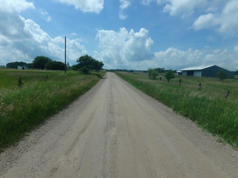
Alfalfa Road
Green Twp,
Alpena County
Information collected by:
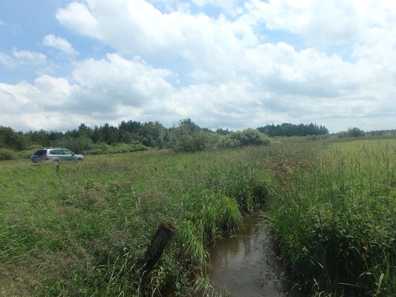
Site Location
GPS Coordinates: 44.98828
, -83.72854
T30N
R6E
Sec 17
Owned by Private
Fish Passability 1
Structure is NOT Perched
Total Erosion: 0.8049 tons/year
Severity: Moderate
Year Inventoried: 2017
Site ID
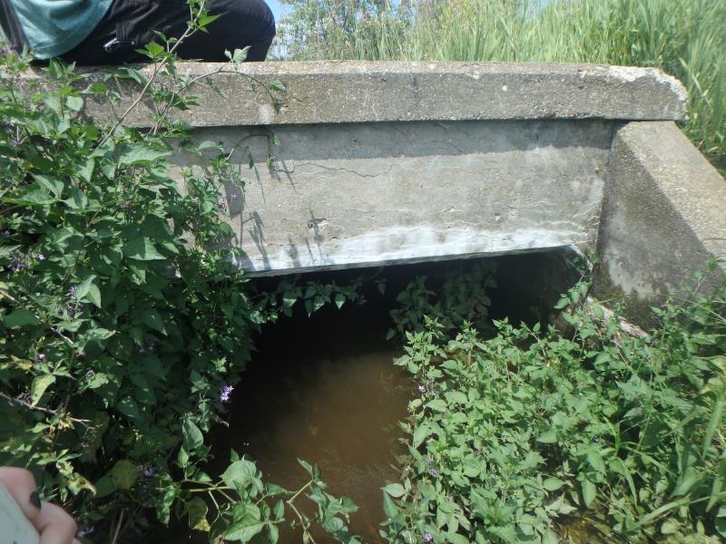
Inlet
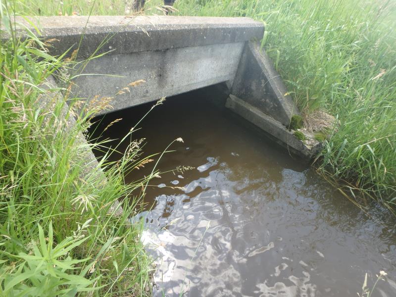
Outlet
Upstream Conditions
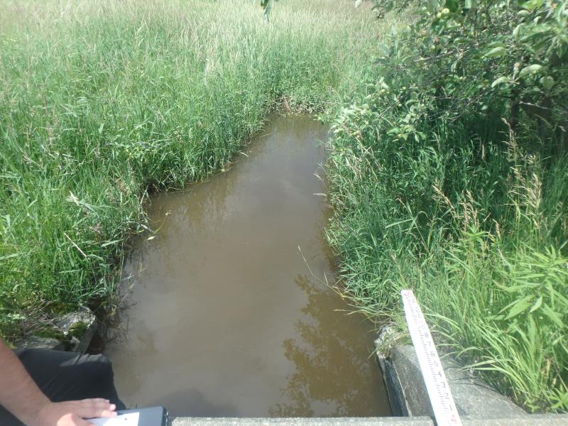
Downstream Conditions
Road Approach - Left
Road Approach - Right
Crossing Information
Type of Crossing: culvert(s)
Number of Structures: 1
Structure Shape: Square/Rectangle
Inlet Type: Apron
Outlet Type: At Stream Grade
Structure Material: Concrete
Structure Substrate: Sand
General Conditions: Fair
Structure Interior: smooth
Dimensions of Structure: Length 33 ft.
, Width 6 ft.
, Height 3.3 ft.
Structure is NOT Perched
Structure Inlet
Water Depth: 1.6 ft.
Embedded Depth of Structure: 0.3 ft.
Water Velocity*: 1.2 ft./sec.
Structure Outlet
Water Depth: 1.8 ft.
Embedded Depth of Structure: 0.2 ft.
Water Velocity*: 0.5 ft./sec.
*Water Velocities were measured 1 ft. below Surface
(with Meter)
Stream Information
Stream Flow: More than Bankfull
Riffle Information
Water Depth: 1.5 ft.
Bankfull Width: 4 ft.
Wetted Width: 25 ft.
Water Velocity: 1.2 ft./sec.
(Measured with Meter)
Dominant Substrate: Silt
Road Information
Sand
County Road
Road Condition: Good
Road Width at Culvert: 19 ft.
Location of Low Point: Other
Runoff Path: Roadway
Fill Depth: 0 ft.
Slope: Vertical
Fill Depth: 0 ft.
Slope: Vertical
Approaches
Left Approach
Length: 330 ft.
Slope: 1% to 5%
Vegetation: Heavy
LS Factor: 0.466
Erosion: 0.8049 tons/year
Right Approach
Length: 0 ft.
Slope: 1% to 5%
Vegetation: Heavy
LS Factor: 0.26
Erosion: 0 tons/year
Erosion Information
Total Erosion at Crossing: 0.8049 tons/year
Extent of Erosion: Minor
Erosion is occurring and corrective actions can be installed to address the problem.
Summary Information
Fish Passability 1
�