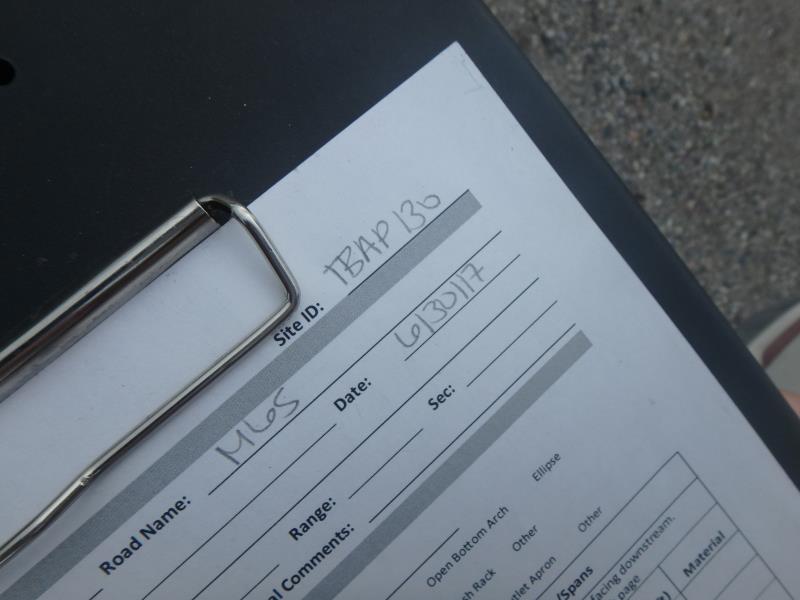
Road Stream Crossing Site TBW_TBAP130
Thunder Bay River Watershed, Unnamed
M 65
Green Twp,
Alpena County
Information collected by:
Site Location
GPS Coordinates: 44.99284
, -83.7493
T30N
R6E
Sec 17
Owned by Private
Structure is NOT Perched
Total Erosion: 0.5653 tons/year
Severity: Minor
Year Inventoried: 2017
Site ID
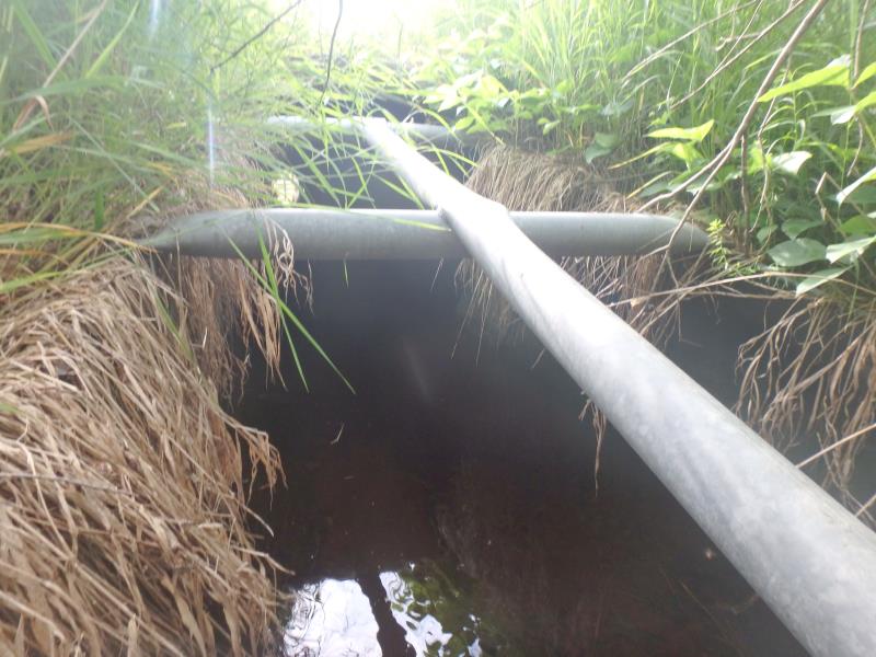
Inlet
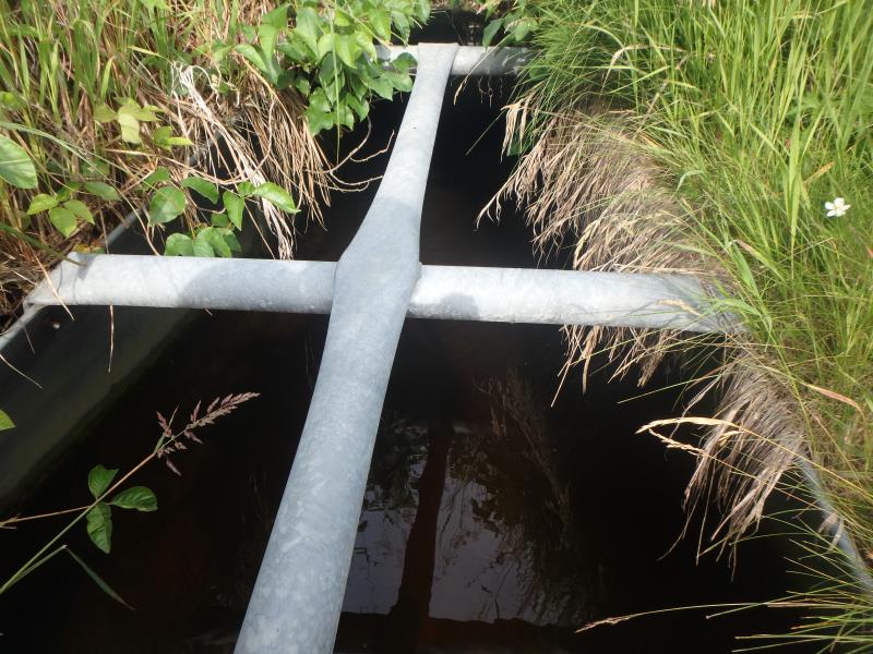
Outlet
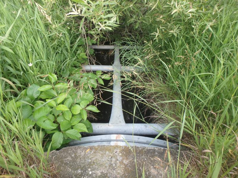
Upstream Conditions
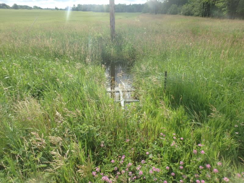
Downstream Conditions
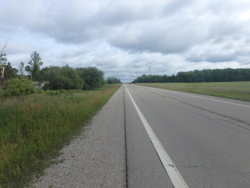
Road Approach - Left
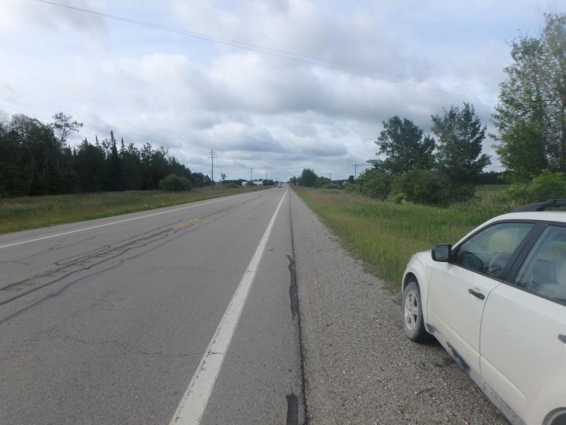
Road Approach - Right
Crossing Information
Type of Crossing: culvert(s)
Number of Structures: 1
Structure Shape: Round
Inlet Type: Apron
Outlet Type: At Stream Grade
Structure Material: Metal
Structure Substrate: None
General Conditions: Good
Structure Interior: smooth
Dimensions of Structure: Length 128 ft.
, Width 5.1 ft.
, Height 5.1 ft.
Structure is NOT Perched
Structure Inlet
Water Depth: 1.3 ft.
Embedded Depth of Structure: 0 ft.
Water Velocity*: 0 ft./sec.
Structure Outlet
Water Depth: 2 ft.
Embedded Depth of Structure: 0 ft.
Water Velocity*: 0 ft./sec.
*Water Velocities were measured 1.2 ft. below Surface
(with Meter)
Additional Comments
NO CHANNEL FOR RIFFLE, NOT PRIORITY HABITAT
Stream Information
Stream Flow: More than Bankfull
Road Information
Paved
State Road
Road Condition: Fair
Road Width at Culvert: 30 ft.
Location of Low Point: At Stream
Runoff Path: Ditch
Embankments
Upstream
Fill Depth: 0.6 ft.
Slope: More than 1:2
Downstream
Fill Depth: 2 ft.
Slope: More than 1:2
Approaches
Left Approach
Length: 1000 ft.
Slope: 1% to 5%
Vegetation: Heavy
LS Factor: 0.57
Erosion: 0.5653 tons/year
Right Approach
Length: 0 ft.
Slope: Less Than 1%
Vegetation: Heavy
LS Factor: 0.05
Erosion: 0 tons/year
Erosion Information
Total Erosion at Crossing: 0.5653 tons/year
Extent of Erosion: Stabilized
Summary Information
A future visit to this site is recommended. CURRENT HIGH WATER
These non-native species were observerd at this site: Crown Vetch and Spotted Knapweed
�