Road Stream Crossing Site TBW_TBAP133
Thunder Bay River Watershed, Butterfield Creek
Elevere Road
Ossineke Twp,
Alpena County
Information collected by:
Site Location
GPS Coordinates: 44.94236
, -83.74921
T29N
R6E
Sec 05
Owned by Private
Fish Passability 0
Perch Height: 0.7 ft.
Total Erosion: 1.0215 tons/year
Severity: Severe
Year Inventoried: 2017
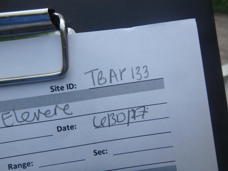
Site ID
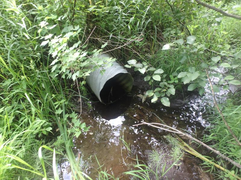
Inlet
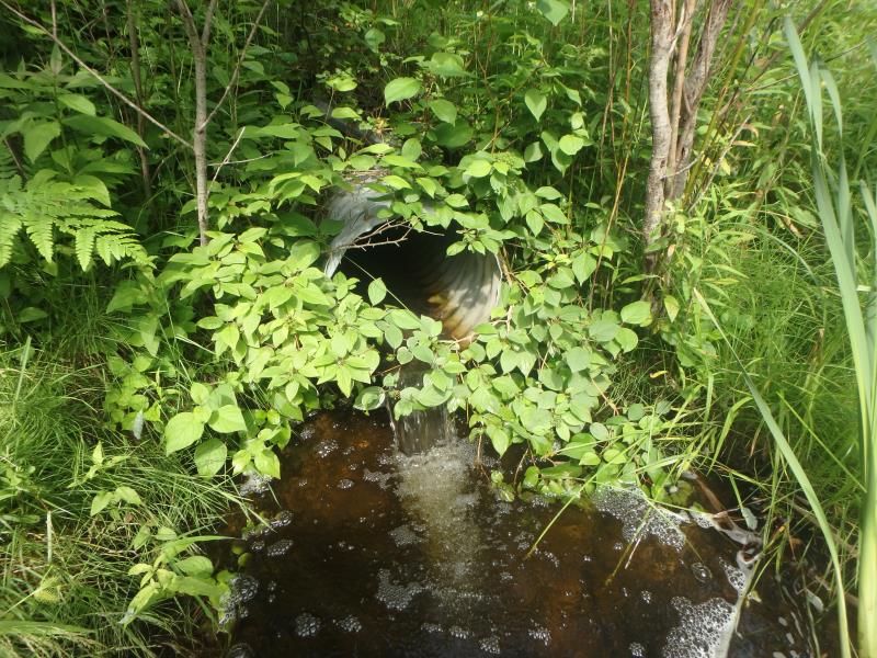
Outlet
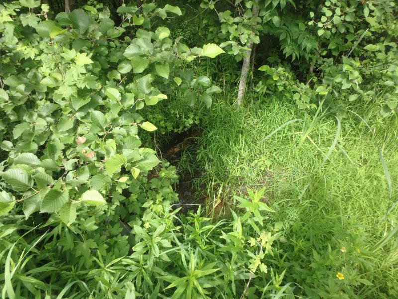
Upstream Conditions
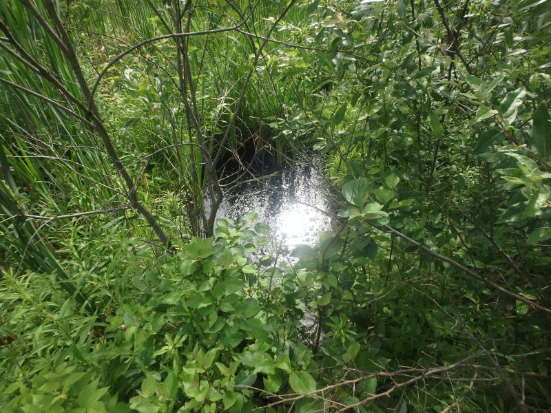
Downstream Conditions
Road Approach - Left
Road Approach - Right
Crossing Information
Type of Crossing: culvert(s)
Number of Structures: 1
Structure Shape: Round
Inlet Type: Projecting
Outlet Type: Freefall into Pool
Structure Material: Metal
Structure Substrate: None
General Conditions: Good
Structure Interior: corrugated
Dimensions of Structure: Length 34 ft.
, Width 1.6 ft.
, Height 1.6 ft.
Perch Height: 0.7 ft.
Structure Inlet
Water Depth: 0.1 ft.
Embedded Depth of Structure: 0 ft.
Water Velocity*: 2.5 ft./sec.
Structure Outlet
Water Depth: 0.2 ft.
Embedded Depth of Structure: 0 ft.
Water Velocity*: 0.5 ft./sec.
*Water Velocities were measured at the Surface
(with Meter)
Stream Information
Stream Flow: Less than Bankfull
Scour Pool: Length 9.5 ft.
, Width 6 ft.
, Depth 1.6 ft.
Riffle Information
Water Depth: 0.5 ft.
Bankfull Width: 2.3 ft.
Wetted Width: 1.5 ft.
Water Velocity: 0.7 ft./sec.
(Measured with Meter)
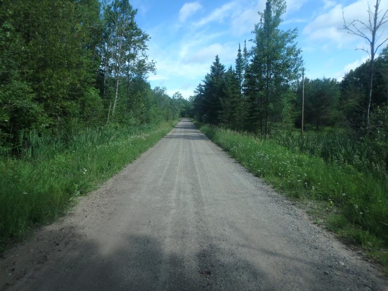
Road Information
Sand
County Road
Road Condition: Fair
Road Width at Culvert: 14 ft.
Location of Low Point: At Stream
Runoff Path: Roadway
Embankments
Upstream
Fill Depth: 2 ft.
Slope: More than 1:2
Downstream
Fill Depth: 2.1 ft.
Slope: More than 1:2
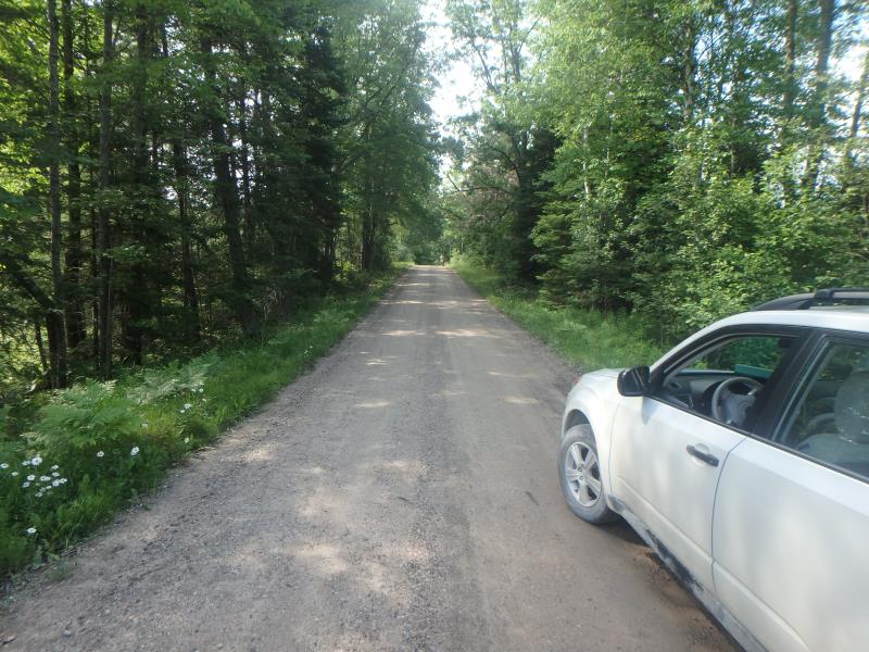
Approaches
Left Approach
Length: 330 ft.
Slope: 1% to 5%
Vegetation: Heavy
LS Factor: 0.466
Erosion: 0.5931 tons/year
Right Approach
Length: 252 ft.
Slope: 1% to 5%
Vegetation: Heavy
LS Factor: 0.441
Erosion: 0.4284 tons/year
Erosion Information
Total Erosion at Crossing: 1.0215 tons/year
Extent of Erosion: Minor
Erosion is occurring and corrective actions can be installed to address the problem.
Summary Information
Fish Passability 0
Fish Passage is an area of concern for this site.
COMPLETE PASSAGE BARRIER BUT WOULD NOT RECONNECT MUCH UPSTREAM
A future visit to this site is recommended. MAXIMUM UPSTREAM HABITAT WOULD BE 1.5 MILES, BUT I DON'T KNOW IF THE MAJORITY DRIES UP. THE NEXT UPSTREAM CROSSING APPEARED TO BE DRY
These non-native species were observerd at this site: Spotted Knapweed
�