Road Stream Crossing Site TBW_TBAP218
Thunder Bay River Watershed, North Branch Thunder Bay River
Truax
Wellington Twp,
Alpena County
Information collected by:
Site Location
GPS Coordinates: 45.17243
, -83.86365
T32N
R5E
Sec 17
Owned by Private
Fish Passability 0.5
Structure is NOT Perched
Total Erosion: 0.0345 tons/year
Severity: Moderate
Year Inventoried: 2017
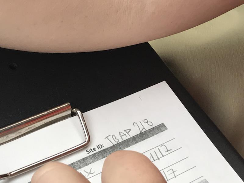
Site ID
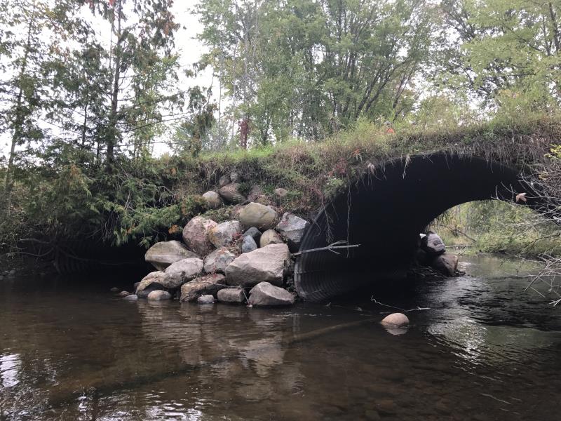
Inlet
Outlet
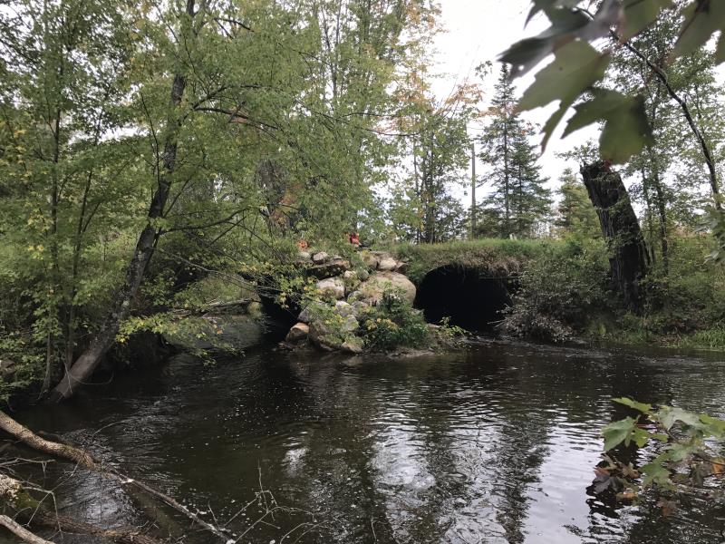
Upstream Conditions
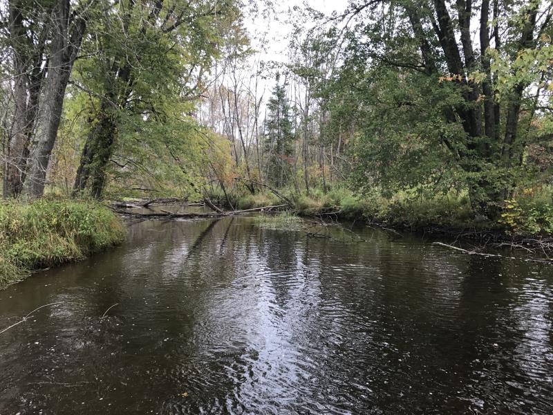
Downstream Conditions
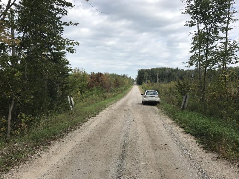
Road Approach - Left
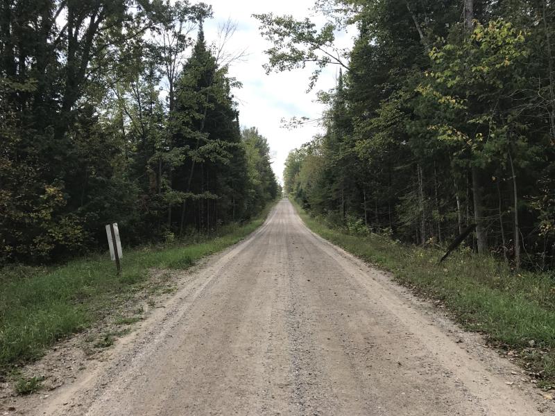
Road Approach - Right
Crossing Information
Type of Crossing: culvert(s)
Number of Structures: 2
Structure Shape: Pipe Arch
Inlet Type: Projecting
Outlet Type: At Stream Grade
Structure Material: Metal
Structure Substrate: Rock
General Conditions: Fair
Multiple Culverts/Spans | ||||
Culvert/Span | Width | Length | Height | Material |
1 |
16 ft. |
25 ft. |
9 ft. |
Metal |
2 |
16 ft. |
25 ft. |
9 ft. |
Metal |
Structure Interior: corrugated
Dimensions of Structure: Length 25 ft.
, Width 16 ft.
, Height 9 ft.
Percentage Plugged:
Outlet: 1% to 25%
Structure is NOT Perched
Structure Inlet
Water Depth: 1.1 ft.
Embedded Depth of Structure: 0.1 ft.
Water Velocity*: 2.1 ft./sec.
Structure Outlet
Water Depth: 1 ft.
Embedded Depth of Structure: 0.1 ft.
Water Velocity*: 2.5 ft./sec.
*Water Velocities were measured 0.5 ft. below Surface
(with Meter)
Stream Information
Stream Flow: Less than 1/2 Bankfull
Scour Pool: Length 30 ft.
, Width 50 ft.
, Depth 5 ft.
Upstream Pond: Length 12 ft.
, Width 8 ft.
, Depth 1 ft.
Riffle Information
Water Depth: 1.1 ft.
Bankfull Width: 49 ft.
Wetted Width: 36 ft.
Water Velocity: 0.8 ft./sec.
(Measured with Meter)
Dominant Substrate: Sand
Road Information
Sand
County Road
Road Condition: Fair
Road Width at Culvert: 15 ft.
Location of Low Point: Other
Runoff Path: Roadway
Embankments
Upstream
Fill Depth: 1.2 ft.
Slope: Vertical
Downstream
Fill Depth: 2 ft.
Slope: Vertical
Approaches
Left Approach
Length: 0 ft.
Slope: 1% to 5%
Vegetation: Heavy
LS Factor: 0.26
Erosion: 0 tons/year
Right Approach
Length: 0 ft.
Slope: 1% to 5%
Vegetation: Heavy
LS Factor: 0.26
Erosion: 0 tons/year
Erosion Information
Total Erosion at Crossing: 0.0345 tons/year
Extent of Erosion: Moderate
Erosion is occurring and corrective actions can be installed to address the problem.
Location of Erosion | Erosion Dimensions | Eroded Material | Material Eroded | Total Erosion | ||
facing downstream | Length | Width | Depth | Reaching Stream? | (tons/year) | |
Left Downstream Embankment |
4 ft. |
4 ft. |
1.4 ft. |
yes |
Loam |
0.0345 |
Summary Information
Fish Passability 0.5
A future visit to this site is recommended. CURRENT WATER LEVEL IS ABOUT 2.5 FT BELOW HIGH WATER MARK� COULD BE A VELOCITY ISSUE AT HIGHER FLOW PERIODS
These non-native species were observerd at this site: Autumn Olive, Reed Canary Grass, Queen Anne's Lace
�