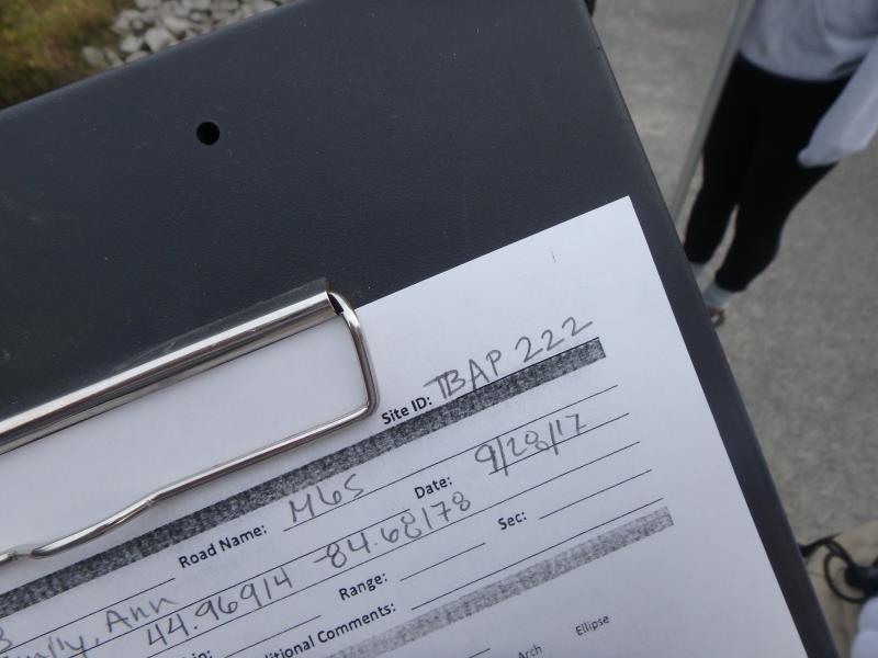
Road Stream Crossing Site TBW_TBAP222
Thunder Bay River Watershed, North Branch Thunder Bay River
M 65
Long Rapids Twp,
Alpena County
Information collected by:
Site Location
GPS Coordinates: 45.188886
, -83.698025
T32N
R6E
Sec 10
Owned by Private
Structure is NOT Perched
Total Erosion: 1.001 tons/year
Severity: Moderate
Year Inventoried: 2017
Site ID
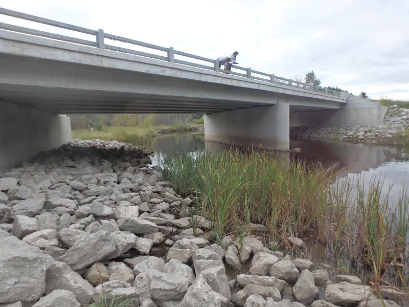
Inlet
Outlet
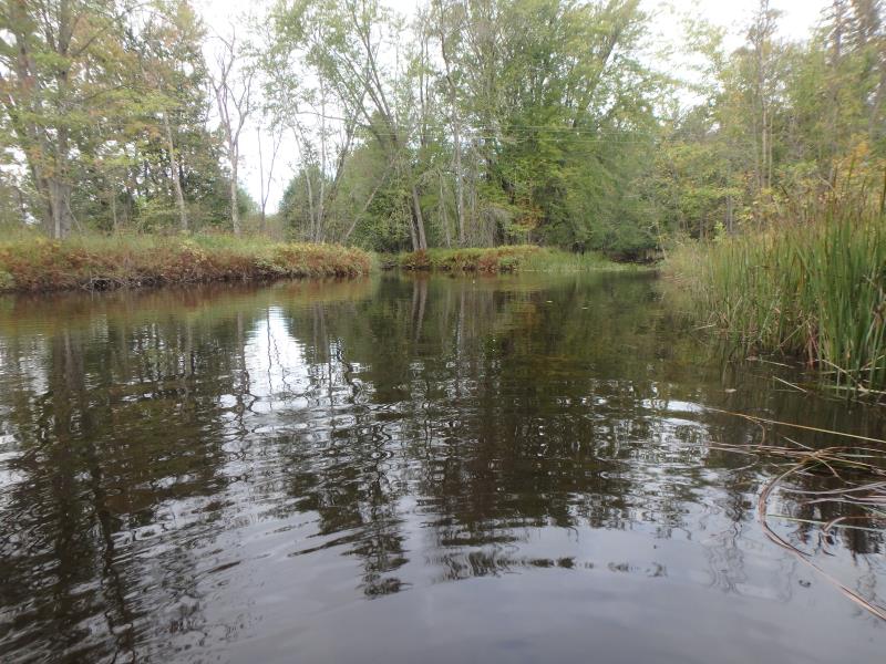
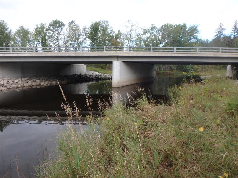
Upstream Conditions
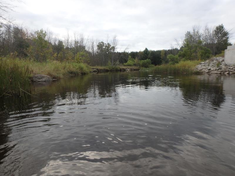
Downstream Conditions
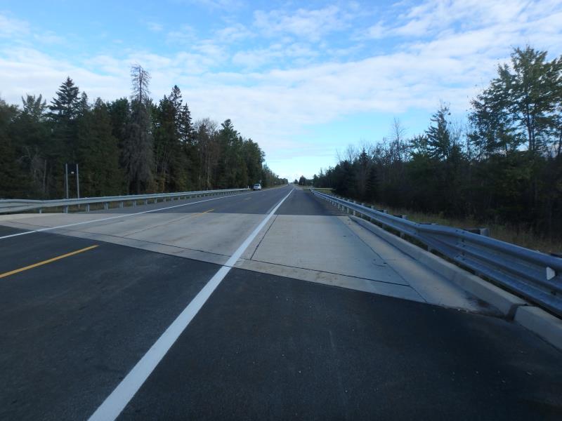
Road Approach - Left
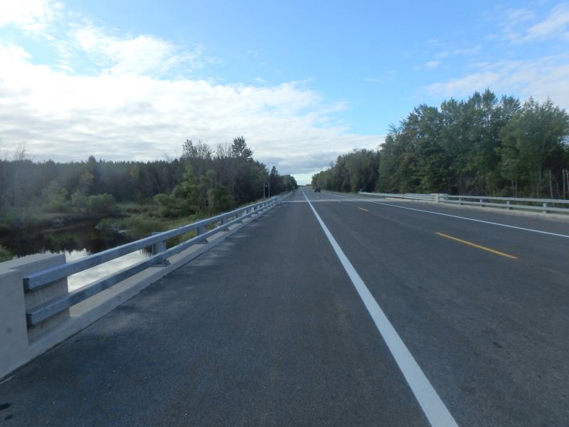
Road Approach - Right
Crossing Information
Type of Crossing: Bridge
Structure Shape: Open Bottom Square/Rectangle
Inlet Type: Projecting
Outlet Type: At Stream Grade
Structure Material: Concrete
Structure Substrate: Sand
General Conditions: New
Multiple Culverts/Spans | ||||
Culvert/Span | Width | Length | Height | Material |
1 |
54.5 ft. |
23.5 ft. |
13.4 ft. |
Concrete |
2 |
54.5 ft. |
23.5 ft. |
13.5 ft. |
|
Structure Interior: smooth
Dimensions of Structure: Length 23.5 ft.
, Width 112 ft.
, Height 13.4 ft.
Structure is NOT Perched
Structure Inlet
Water Depth: 2.7 ft.
Water Velocity*: 0 ft./sec.
Structure Outlet
Water Depth: 2.4 ft.
Water Velocity*: 0 ft./sec.
*Water Velocities were measured 1 ft. below Surface
(with Meter)
Additional Comments
SPAN DIVIDED INTO TWO SEGMENTS
Stream Information
Stream Flow: Less than 1/2 Bankfull
Riffle Information
Water Depth: 3.6 ft.
Bankfull Width: 50 ft.
Wetted Width: 44 ft.
Water Velocity: 0.8 ft./sec.
(Measured with Meter)
Dominant Substrate: Cobble
Road Information
Paved
State Road
Road Condition: Good
Road Width at Culvert: 23.5 ft.
Location of Low Point: Other
Runoff Path: Ditch
Fill Depth: 0 ft.
Slope: Vertical
Fill Depth: 0 ft.
Slope: Vertical
Approaches
Left Approach
Length: 0 ft.
Slope: Less Than 1%
Vegetation: Heavy
LS Factor: 0.05
Erosion: 0 tons/year
Right Approach
Length: 0 ft.
Slope: Less Than 1%
Vegetation: Heavy
LS Factor: 0.05
Erosion: 0 tons/year
Erosion Information
Total Erosion at Crossing: 1.001 tons/year
Extent of Erosion: Moderate
Notes:
SAND OVER CLAY, TREE REVENTMENT PROPOSED
Location of Erosion | Erosion Dimensions | Eroded Material | Material Eroded | Total Erosion | ||
facing downstream | Length | Width | Depth | Reaching Stream? | (tons/year) | |
Left Downstream Streambank |
100 ft. |
4 ft. |
1.3 ft. |
yes |
Sand |
1.001 |
Summary Information
Erosion is an area of concern for this site.
These non-native species were observerd at this site: Queen Anne's Lace, Spotted Knapweed and Reed Canary Grass
�