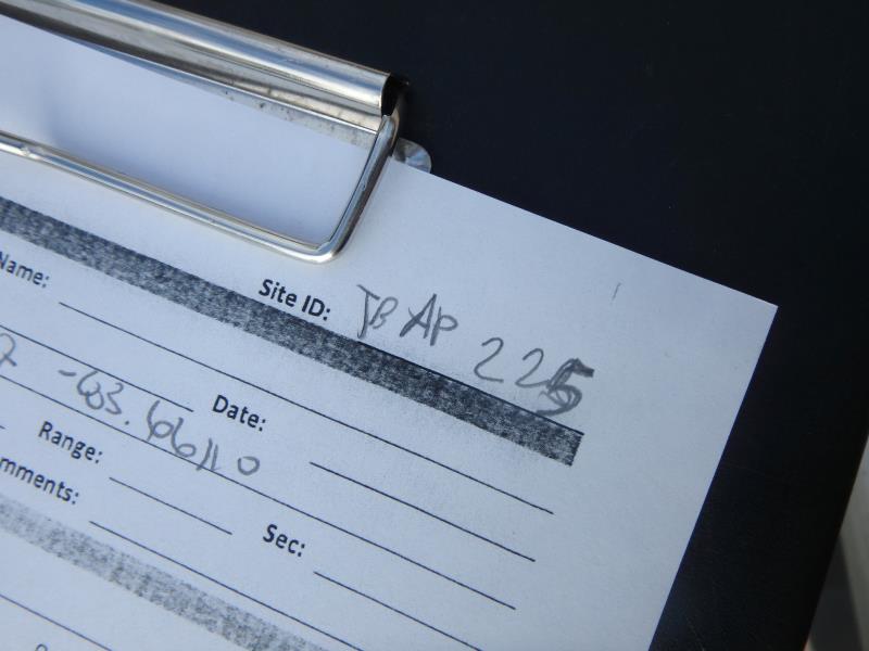
Road Stream Crossing Site TBW_TBAP225
Thunder Bay River Watershed, Erskine Creek
Maple Lane Road
Long Rapids Twp,
Alpena County
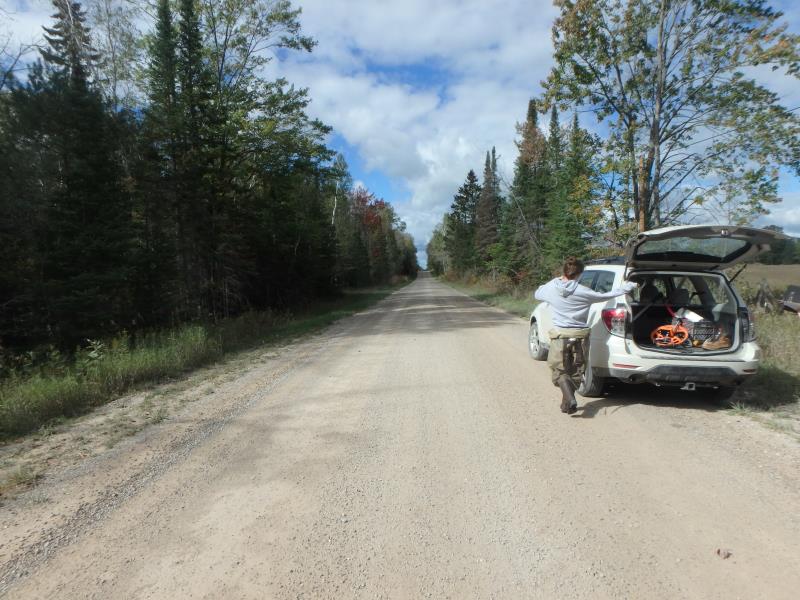
Information collected by:
Site Location
GPS Coordinates: 45.18967
, -83.6611
T32N
R6E
Sec 02
Owned by Private
Structure is NOT Perched
Total Erosion: 6.595 tons/year
Severity: Severe
Year Inventoried: 2017
Site ID
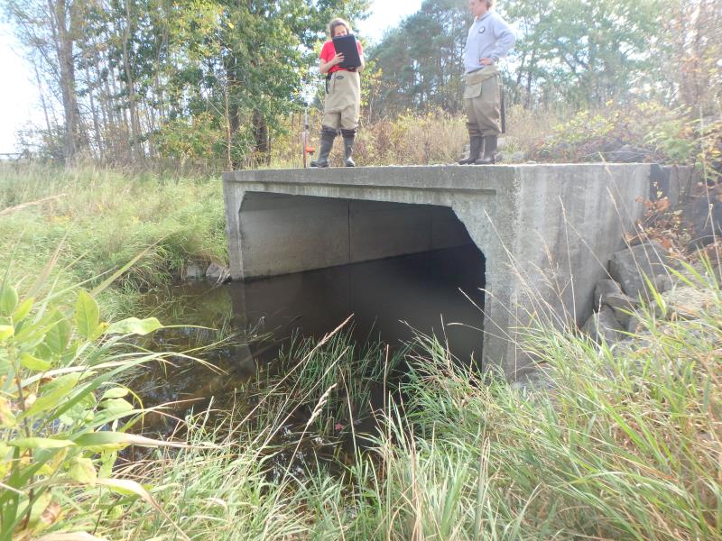
Inlet
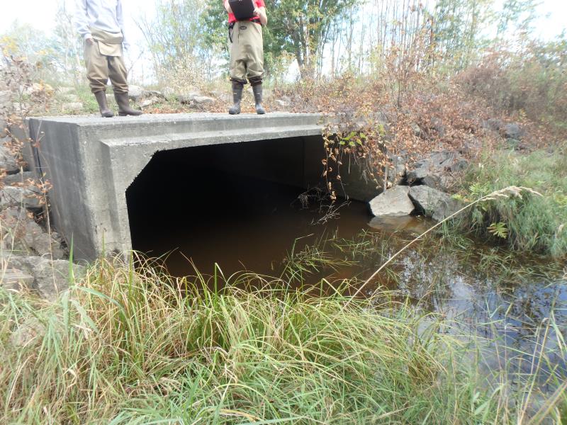
Outlet
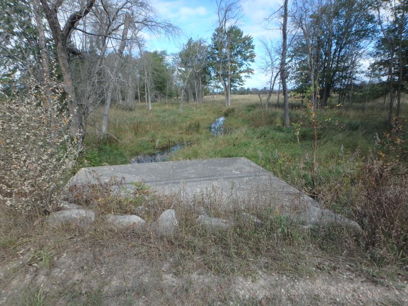
Upstream Conditions
Downstream Conditions
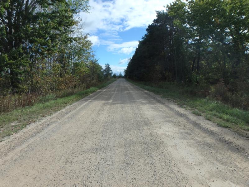
Road Approach - Left
Road Approach - Right
Crossing Information
Type of Crossing: culvert(s)
Number of Structures: 1
Structure Shape: Square/Rectangle
Inlet Type: Projecting
Outlet Type: At Stream Grade
Structure Material: Concrete
Structure Substrate: Sand
General Conditions: Good
Structure Interior: smooth
Dimensions of Structure: Length 65 ft.
, Width 14 ft.
, Height 6 ft.
Structure is NOT Perched
Structure Inlet
Water Depth: 1.7 ft.
Embedded Depth of Structure: 0.3 ft.
Water Velocity*: 0 ft./sec.
Structure Outlet
Water Depth: 1.7 ft.
Embedded Depth of Structure: 0.1 ft.
Water Velocity*: 0 ft./sec.
*Water Velocities were measured at the Surface
(with Meter)
Additional Comments
RIFFLE NOT ACCESSIBLE
Stream Information
Stream Flow: Less than Bankfull
Road Information
Sand
County Road
Road Condition: Fair
Road Width at Culvert: 21 ft.
Location of Low Point: At Stream
Runoff Path: Roadway
Embankments
Upstream
Fill Depth: 1.9 ft.
Slope: More than 1:2
Downstream
Fill Depth: 1.7 ft.
Slope: More than 1:2
Approaches
Left Approach
Length: 1000 ft.
Slope: 1% to 5%
Vegetation: Heavy
LS Factor: 0.57
Erosion: 3.2975 tons/year
Right Approach
Length: 1000 ft.
Slope: 1% to 5%
Vegetation: Heavy
LS Factor: 0.57
Erosion: 3.2975 tons/year
Erosion Information
Total Erosion at Crossing: 6.595 tons/year
Extent of Erosion: Minor
Erosion is occurring and corrective actions can be installed to address the problem.
Summary Information
These non-native species were observerd at this site: Autumn Olive, Spotted Knapweed and Reed Canary Grass
�