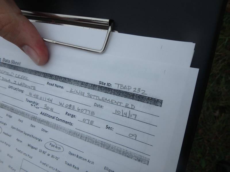
Road Stream Crossing Site TBW_TBAP232
Thunder Bay River Watershed, Butterfield Creek
King Settlement Road
Wilson Twp,
Alpena County
Information collected by:
Site Location
GPS Coordinates: 45.01144
, -83.60778
T30N
R7E
Sec 09
Owned by Private
Structure is NOT Perched
Total Erosion: 0.2149 tons/year
Severity: Minor
Year Inventoried: 2017
Site ID
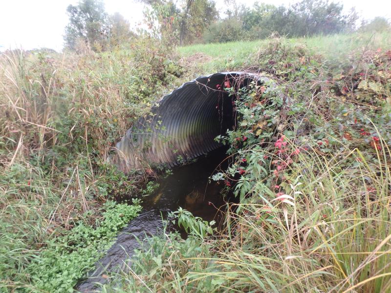
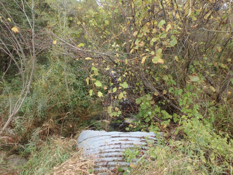
Inlet
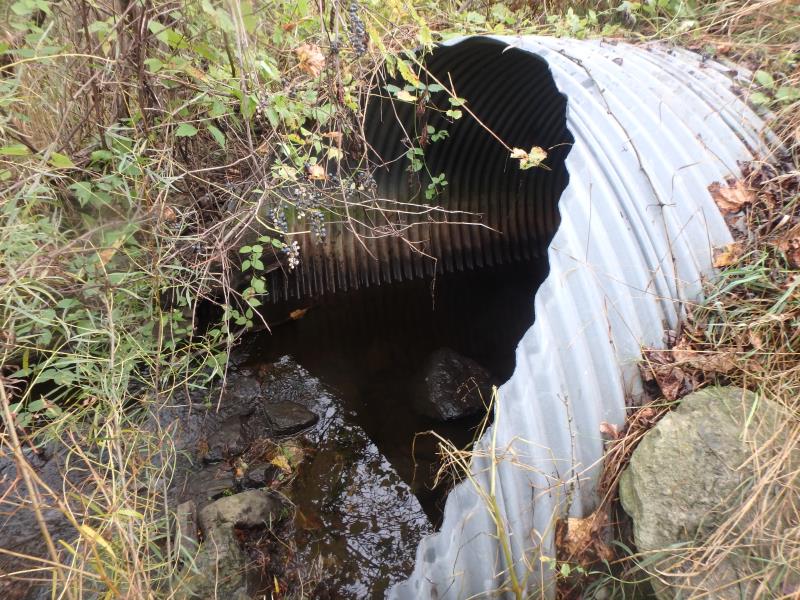
Outlet
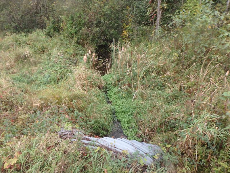
Upstream Conditions
Downstream Conditions
Road Approach - Left
Road Approach - Right
Crossing Information
Type of Crossing: culvert(s)
Number of Structures: 1
Structure Shape: Pipe Arch
Inlet Type: Mitered
Outlet Type: At Stream Grade
Structure Material: Metal
Structure Substrate: None
General Conditions: Good
Structure Interior: corrugated
Dimensions of Structure: Length 63 ft.
, Width 9 ft.
, Height 6 ft.
Structure is NOT Perched
Structure Inlet
Water Depth: 1 ft.
Embedded Depth of Structure: 0 ft.
Water Velocity*: 1.4 ft./sec.
Structure Outlet
Water Depth: 0.8 ft.
Embedded Depth of Structure: 0 ft.
Water Velocity*: 0.9 ft./sec.
*Water Velocities were measured 0.3 ft. below Surface
(with Meter)
Additional Comments
RIFFLE NOT ACCESSIBLE
Stream Information
Stream Flow: Less than Bankfull
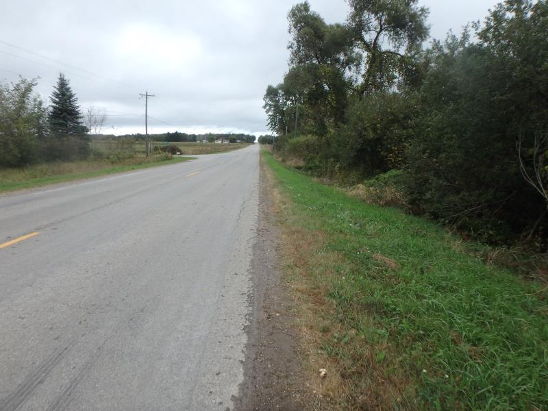
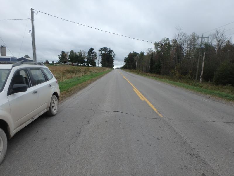
Road Information
Paved
County Road
Road Condition: Good
Road Width at Culvert: 26 ft.
Location of Low Point: Other
Runoff Path: Ditch
Embankments
Upstream
Fill Depth: 1 ft.
Slope: More than 1:2
Downstream
Fill Depth: 1.5 ft.
Slope: More than 1:2
Approaches
Left Approach
Length: 0 ft.
Slope: 1% to 5%
Vegetation: Heavy
LS Factor: 0.26
Erosion: 0 tons/year
Right Approach
Length: 500 ft.
Slope: 1% to 5%
Vegetation: Heavy
LS Factor: 0.5
Erosion: 0.2149 tons/year
Erosion Information
Total Erosion at Crossing: 0.2149 tons/year
Summary Information
These non-native species were observerd at this site: Reed Canary Grass
�