Road Stream Crossing Site TBW_TBAP236
Thunder Bay River Watershed, King Creek
Nappers Road
Wilson Twp,
Alpena County
Information collected by:
Site Location
GPS Coordinates: 45.004111
, -83.655556
T30N
R6E
Sec 12/13
Owned by Private
Fish Passability 0.5
Structure is NOT Perched
Total Erosion: 1.4768 tons/year
Severity: Moderate
Year Inventoried: 2017

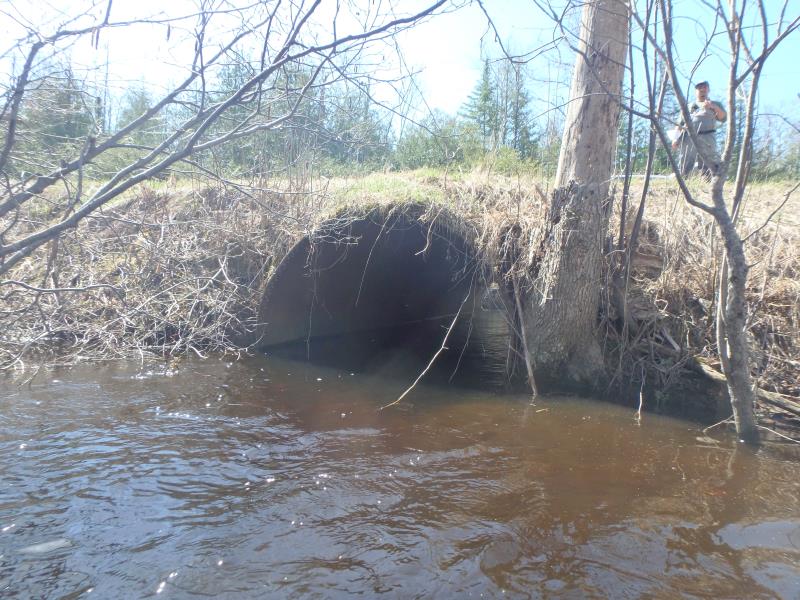
Inlet
Outlet
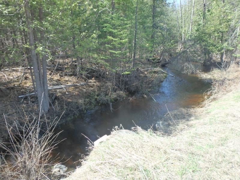
Upstream Conditions
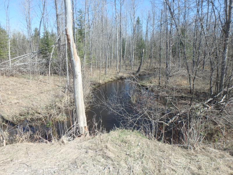
Downstream Conditions
Road Approach - Right
Crossing Information
Type of Crossing: culvert(s)
Number of Structures: 1
Structure Shape: Pipe Arch
Inlet Type: Projecting
Outlet Type: At Stream Grade
Structure Material: Metal
Structure Substrate: Rock
General Conditions: Poor
Structure Interior: smooth
Dimensions of Structure: Length 48 ft.
, Width 6.2 ft.
, Height 6.6 ft.
Structure is NOT Perched
Structure Inlet
Water Depth: 2.5 ft.
Embedded Depth of Structure: 0 ft.
Water Velocity*: 2.8 ft./sec.
Structure Outlet
Water Depth: 2.3 ft.
Embedded Depth of Structure: 0.5 ft.
Water Velocity*: 2.4 ft./sec.
*Water Velocities were measured 0.5 ft. below Surface
(with Meter)
Stream Information
Stream Flow: More than Bankfull
Scour Pool: Length 0 ft.
, Width 0 ft.
, Depth 0 ft.
Upstream Pond: Length 0 ft.
, Width 0 ft.
, Depth 0 ft.
Riffle Information
Water Depth: 2.3 ft.
Bankfull Width: 26 ft.
Wetted Width: 27 ft.
Water Velocity: 1.1 ft./sec.
(Measured with Meter)
Dominant Substrate: Sand
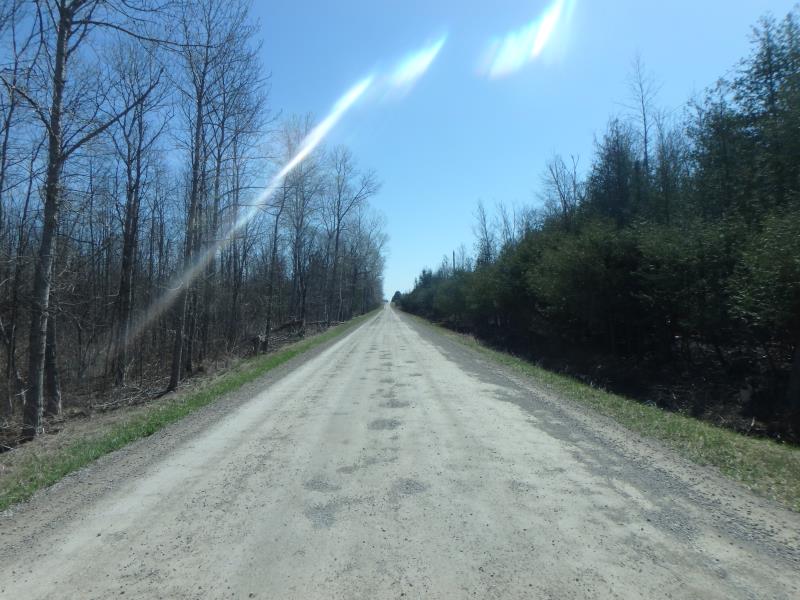
Road Information
Gravel
County Road
Road Condition: Fair
Road Width at Culvert: 22.8 ft.
Location of Low Point: Other
Runoff Path: Ditch
Embankments
Upstream
Fill Depth: 1.8 ft.
Slope: More than 1:2
Downstream
Fill Depth: 1.5 ft.
Slope: More than 1:2
Approaches
Left Approach
Length: 475 ft.
Slope: 1% to 5%
Vegetation: Heavy
LS Factor: 0.495
Erosion: 1.4768 tons/year
Right Approach
Length: 0 ft.
Slope: Less Than 1%
Vegetation: Heavy
LS Factor: 0.05
Erosion: 0 tons/year
Erosion Information
Total Erosion at Crossing: 1.4768 tons/year
Extent of Erosion: Minor
Summary Information
Fish Passability 0.5
�