Road Stream Crossing Site TBW_TBAP241
Thunder Bay River Watershed, Bean Creek
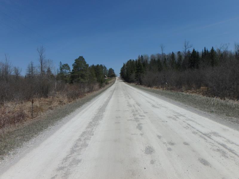
Carney Road
Green Twp,
Alpena County
Information collected by:
Site Location
GPS Coordinates: 45.04586
, -83.694724
T31N
R6E
Sec 28/30
Owned by Private
Fish Passability 0.5
Structure is NOT Perched
Total Erosion: 0 tons/year
Severity: Moderate
Year Inventoried: 2017
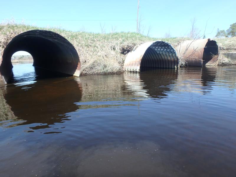
Inlet
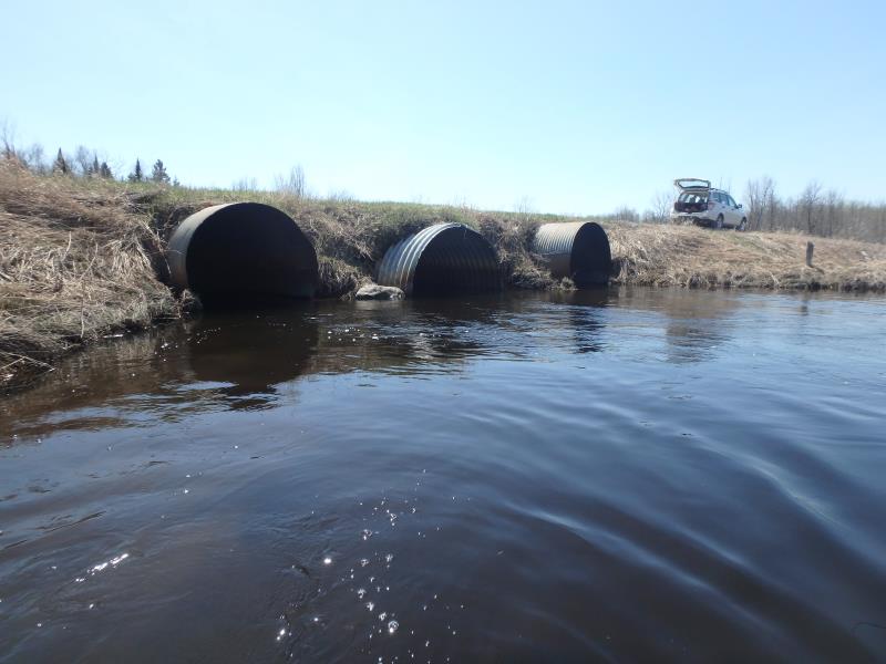
Outlet
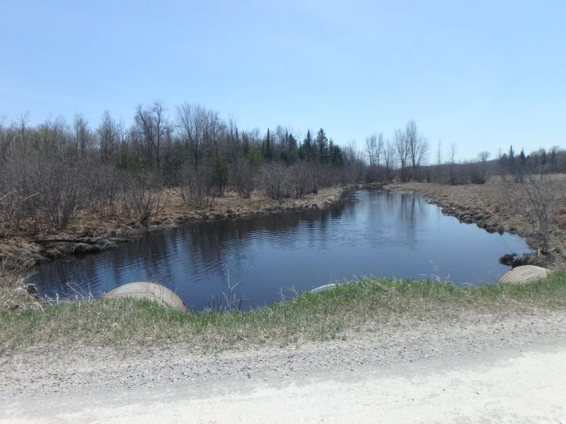
Upstream Conditions
Road Approach - Left
Road Approach - Right
Crossing Information
Type of Crossing: culvert(s)
Number of Structures: 3
Structure Shape: Ellipse
Inlet Type: Projecting
Outlet Type: At Stream Grade
Structure Material: Metal
Structure Substrate: None
General Conditions: Fair
Multiple Culverts/Spans | ||||
Culvert/Span | Width | Length | Height | Material |
1 |
5.9 ft. |
40 ft. |
6.2 ft. |
Metal |
2 |
7.5 ft. |
40 ft. |
6.1 ft. |
Metal |
3 |
5.9 ft. |
40 ft. |
6.2 ft. |
Metal |
Structure Interior: corrugated
Dimensions of Structure: Length 40 ft.
, Width 7.5 ft.
, Height 6.1 ft.
Structure is NOT Perched
Structure Inlet
Water Depth: 2 ft.
Embedded Depth of Structure: 0 ft.
Water Velocity*: 1.8 ft./sec.
Structure Outlet
Water Depth: 2 ft.
Embedded Depth of Structure: 0 ft.
Water Velocity*: 2.2 ft./sec.
*Water Velocities were measured 1 ft. below Surface
(with Meter)
Stream Information
Stream Flow: More than Bankfull
Scour Pool: Length 75 ft.
, Width 60 ft.
, Depth 4 ft.
Upstream Pond: Length 75 ft.
, Width 75 ft.
, Depth 2 ft.
Riffle Information
Water Depth: 2.1 ft.
Bankfull Width: 34 ft.
Wetted Width: 34 ft.
Water Velocity: 1.3 ft./sec.
(Measured with Meter)
Dominant Substrate: Sand
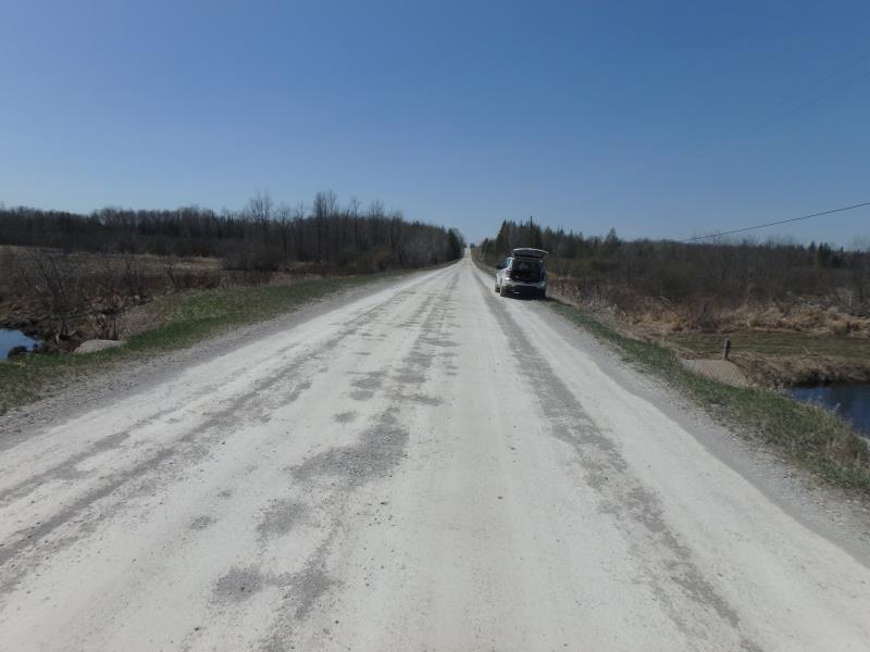
Road Information
Gravel
County Road
Road Condition: Fair
Road Width at Culvert: 18.5 ft.
Location of Low Point: Other
Runoff Path: Ditch
Embankments
Upstream
Fill Depth: 2.2 ft.
Slope: More than 1:2
Downstream
Fill Depth: 1.7 ft.
Slope: More than 1:2
Approaches
Left Approach
Length: 0 ft.
Slope: 1% to 5%
Vegetation: Heavy
LS Factor: 0.26
Erosion: 0 tons/year
Right Approach
Length: 0 ft.
Slope: 1% to 5%
Vegetation: Heavy
LS Factor: 0.26
Erosion: 0 tons/year
Erosion Information
Total Erosion at Crossing: 0 tons/year
Extent of Erosion: Minor
Summary Information
Fish Passability 0.5
�