Road Stream Crossing Site TBW_TBAP87
Thunder Bay River Watershed, Beaver Creek
M 65
Ossineke Twp,
Alpena County
Information collected by:
Site Location
GPS Coordinates: 44.85786
, -83.78197
T29N
R5E
Sec 36
Owned by Private
Fish Passability 0.5
Structure is NOT Perched
Total Erosion: 0.5747 tons/year
Severity: Moderate
Year Inventoried: 2017
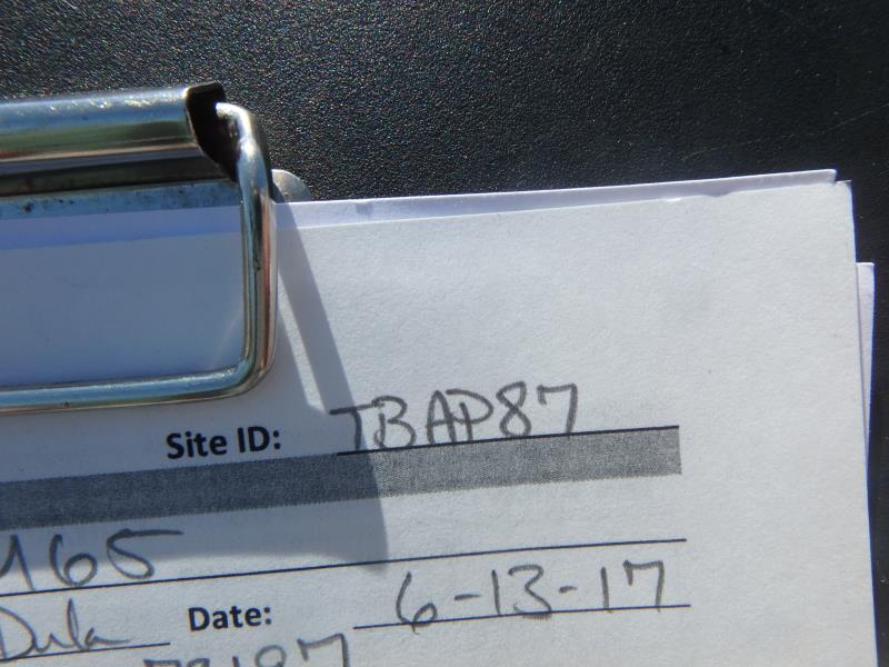
Site ID
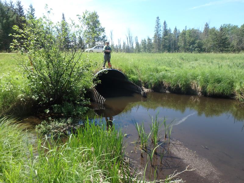
Inlet

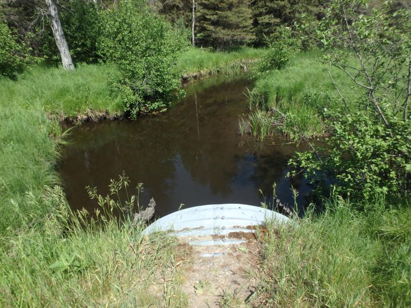
Outlet
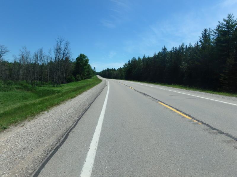
Upstream Conditions
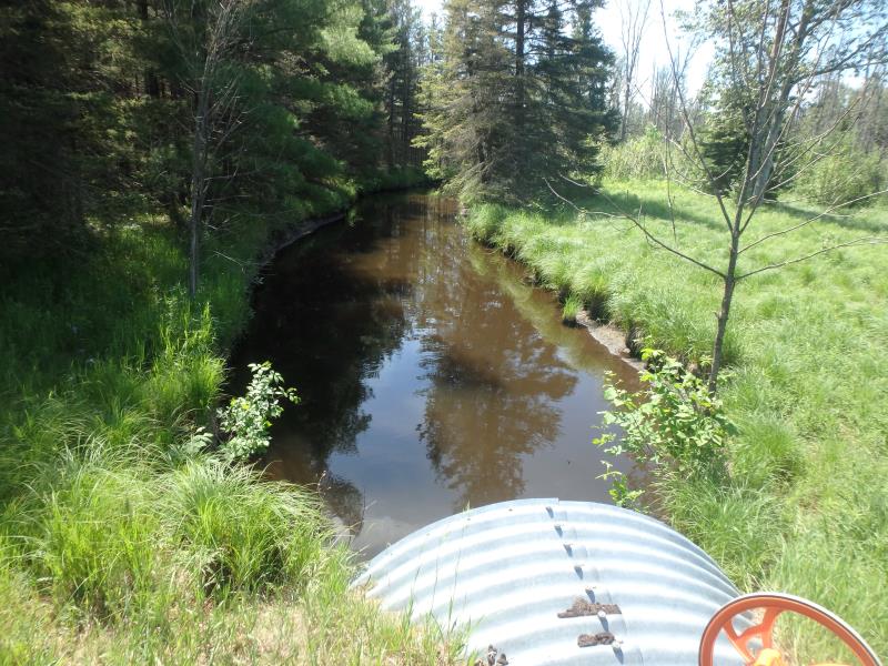
Downstream Conditions
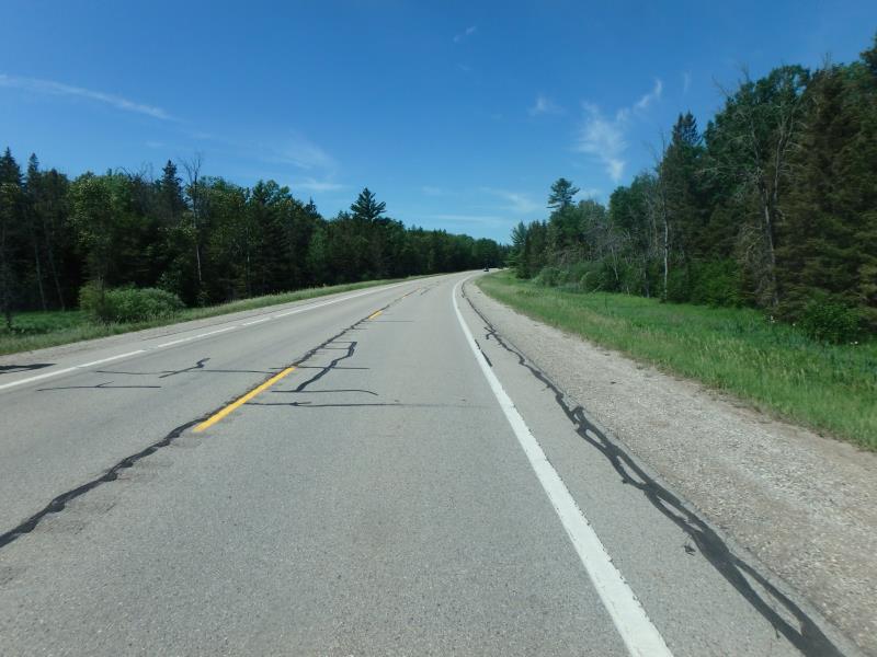
Road Approach - Left
Road Approach - Left
Crossing Information
Type of Crossing: culvert(s)
Number of Structures: 1
Structure Shape: Pipe Arch
Inlet Type: Mitered
Outlet Type: At Stream Grade
Structure Material: Metal
Structure Substrate: None
General Conditions: Good
Structure Interior: corrugated
Dimensions of Structure: Length 109 ft.
, Width 9.6 ft.
, Height 6.8 ft.
Structure is NOT Perched
Structure Inlet
Water Depth: 1.9 ft.
Embedded Depth of Structure: 0 ft.
Water Velocity*: 1.3 ft./sec.
Structure Outlet
Water Depth: 2 ft.
Embedded Depth of Structure: 0 ft.
Water Velocity*: 1 ft./sec.
*Water Velocities were measured 0.5 ft. below Surface
(with Meter)
Stream Information
Stream Flow: Less than Bankfull
Riffle Information
Water Depth: 1.7 ft.
Bankfull Width: 33 ft.
Wetted Width: 18 ft.
Water Velocity: 0.6 ft./sec.
(Measured with Meter)
Dominant Substrate: Silt
Road Information
Paved
State Road
Road Condition: Good
Road Width at Culvert: 30.5 ft.
Location of Low Point: Other
Runoff Path: Ditch
Embankments
Upstream
Fill Depth: 3.3 ft.
Slope: More than 1:2
Downstream
Fill Depth: 5.5 ft.
Slope: More than 1:2
Approaches
Left Approach
Length: 0 ft.
Slope: 1% to 5%
Vegetation: Heavy
LS Factor: 0.26
Erosion: 0 tons/year
Right Approach
Length: 1000 ft.
Slope: 1% to 5%
Vegetation: Heavy
LS Factor: 0.57
Erosion: 0.5747 tons/year
Erosion Information
Total Erosion at Crossing: 0.5747 tons/year
Extent of Erosion: Stabilized
Summary Information
Fish Passability 0.5
These non-native species were observerd at this site: Mullein
�