Road Stream Crossing Site TBW_TBAPI217
Thunder Bay River Watershed, Quinn Creek
WILK Hwy
Metz Twp,
Presque Isle County
Information collected by:
Site Location
GPS Coordinates: 45.24567
, -83.84783
T33N
R5E
Sec 17
Owned by Private
Structure is NOT Perched
Total Erosion: 3.0343 tons/year
Severity: Severe
Year Inventoried: 2017
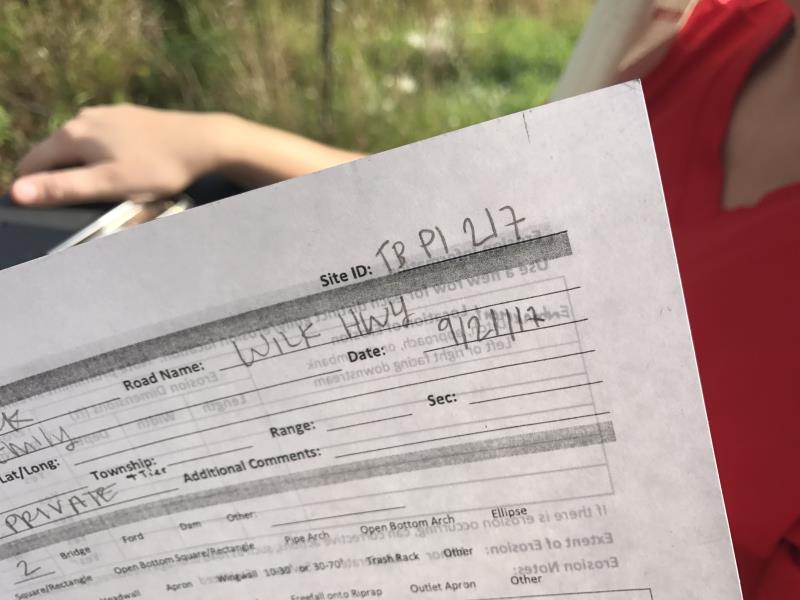
Site ID
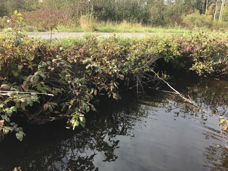
Inlet
Outlet
Upstream Conditions
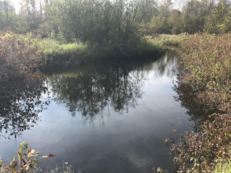
Downstream Conditions
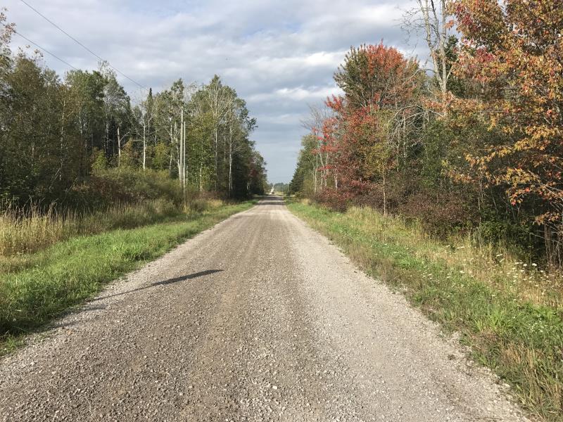
Road Approach - Left
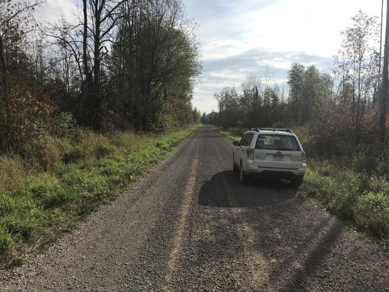
Road Approach - Right
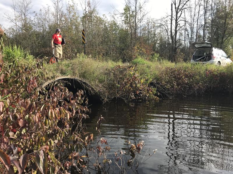
Crossing Information
Type of Crossing: culvert(s)
Number of Structures: 2
Structure Shape: Pipe Arch
Inlet Type: Projecting
Outlet Type: At Stream Grade
Structure Material: Metal
Structure Substrate: Mixture
General Conditions: Poor
Multiple Culverts/Spans | ||||
Culvert/Span | Width | Length | Height | Material |
1 |
7 ft. |
24 ft. |
5 ft. |
Metal |
2 |
7 ft. |
24 ft. |
5 ft. |
Metal |
Structure Interior: corrugated
Structure is Rusted through
Dimensions of Structure: Length 24 ft.
, Width 7 ft.
, Height 5 ft.
Structure is NOT Perched
Structure Inlet
Water Depth: 2.7 ft.
Embedded Depth of Structure: 0 ft.
Water Velocity*: 0.1 ft./sec.
Structure Outlet
Water Depth: 2.5 ft.
Embedded Depth of Structure: 0.1 ft.
Water Velocity*: 0.1 ft./sec.
*Water Velocities were measured at the Surface
(with Meter)
Additional Comments
CULVERT #2 IS MAIN FLOW, RIFFLE NOT SAFE TO ACCESS
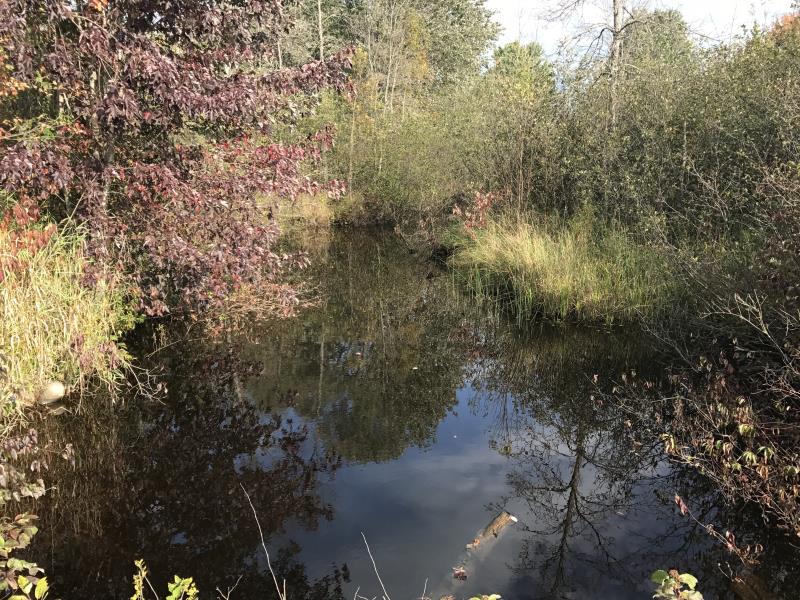
Stream Information
Stream Flow: Bankfull
Scour Pool: Length 20 ft.
, Width 35 ft.
, Depth 4 ft.
Upstream Pond: Length 15 ft.
, Width 15 ft.
, Depth 4 ft.
Road Information
Gravel
County Road
Road Condition: Fair
Road Width at Culvert: 19 ft.
Location of Low Point: At Stream
Runoff Path: Ditch
Embankments
Upstream
Fill Depth: 1.4 ft.
Slope: Vertical
Downstream
Fill Depth: 1 ft.
Slope: More than 1:2
Approaches
Left Approach
Length: 1000 ft.
Slope: 1% to 5%
Vegetation: Heavy
LS Factor: 0.57
Erosion: 2.9835 tons/year
Right Approach
Length: 30 ft.
Slope: 1% to 5%
Vegetation: Heavy
LS Factor: 0.298
Erosion: 0.0468 tons/year
Erosion Information
Total Erosion at Crossing: 3.0343 tons/year
Extent of Erosion: Minor
Erosion is occurring and corrective actions can be installed to address the problem.
Notes: EROSION OCCURING NEXT TO CULVERT #1
Location of Erosion | Erosion Dimensions | Eroded Material | Material Eroded | Total Erosion | ||
facing downstream | Length | Width | Depth | Reaching Stream? | (tons/year) | |
Left Downstream Embankment |
4 ft. |
2 ft. |
1 ft. |
yes |
Gravel |
0.004 |
Summary Information
A future visit to this site is recommended. AGE OF STRUCTURE
These non-native species were observerd at this site: Queen Anne's Lace, Spotted Knapweed, and Reed Canary Grass
�