Road Stream Crossing Site TBW_TBMO02
Thunder Bay River Watershed, Thunder Bay River tributary
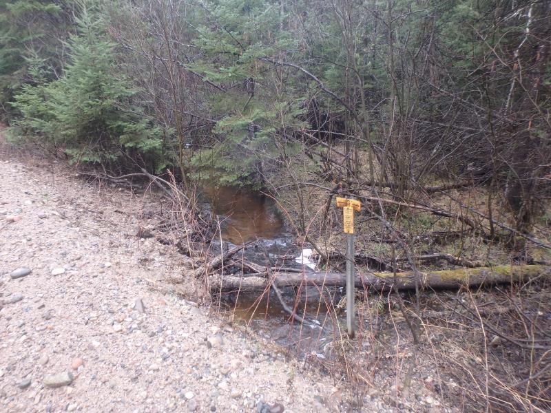
Fritz Road
Briley Twp,
Montmorency County
Information collected by:
Site Location
GPS Coordinates: 44.96935
, -84.21567
T30N
R2E
Sec 29
Owned by Private
Fish Passability 0.5
Structure is NOT Perched
Total Erosion: 4.5896 tons/year
Severity: Severe
Year Inventoried: 2017
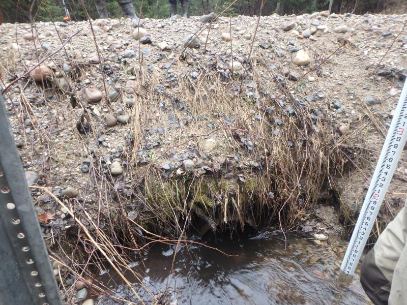
Inlet
Inlet
Outlet
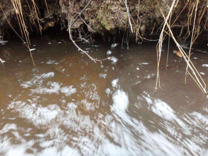
Upstream Conditions
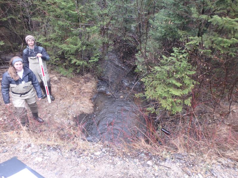
Downstream Conditions
Road Approach - Left
Road Approach - Right
Crossing Information
Type of Crossing: culvert(s)
Number of Structures: 1
Structure Shape: Round
Inlet Type: Projecting
Outlet Type: At Stream Grade
Structure Material: Metal
Structure Substrate: Rock
General Conditions: Poor
Structure Interior: corrugated
Dimensions of Structure: Length 21 ft.
, Width 1.3 ft.
, Height 1.3 ft.
Percentage Crushed:
Inlet: 0%
Outlet: 26% to 50%
In Pipe: 0%
Structure is NOT Perched
Structure Inlet
Water Depth: 1 ft.
Embedded Depth of Structure: 0 ft.
Water Velocity*: 2.3 ft./sec.
Structure Outlet
Water Depth: 1 ft.
Embedded Depth of Structure: 0 ft.
Water Velocity*: 2.2 ft./sec.
*Water Velocities were measured 0.5 ft. below Surface
(with Meter)
Stream Information
Stream Flow: Bankfull
Riffle Information
Water Depth: 0.8 ft.
Bankfull Width: 7 ft.
Wetted Width: 5.1 ft.
Water Velocity: 1.2 ft./sec.
(Measured with Meter)
Dominant Substrate: Sand
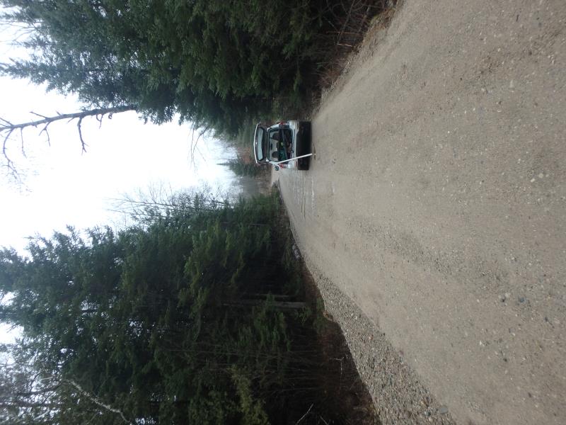
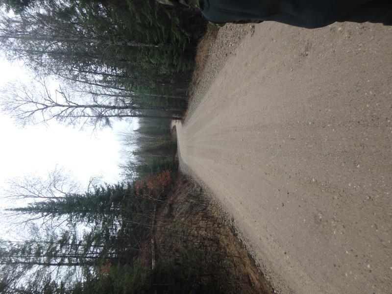
Road Information
Gravel
County Road
Road Condition: Fair
Road Width at Culvert: 16 ft.
Location of Low Point: Other
Runoff Path: Roadway
Embankments
Upstream
Fill Depth: 3.6 ft.
Slope: 1:1.5
Downstream
Fill Depth: 4.5 ft.
Slope: Vertical
Approaches
Left Approach
Length: 0 ft.
Slope: Less Than 1%
Vegetation: None
LS Factor: 0.05
Erosion: 0 tons/year
Right Approach
Length: 890 ft.
Slope: 1% to 5%
Vegetation: None
LS Factor: 1.159
Erosion: 4.5446 tons/year
Erosion Information
Total Erosion at Crossing: 4.5896 tons/year
Extent of Erosion: Minor
Erosion is occurring and corrective actions can be installed to address the problem.
Notes: ROAD SURFACE MATERIAL
Location of Erosion | Erosion Dimensions | Eroded Material | Material Eroded | Total Erosion | ||
facing downstream | Length | Width | Depth | Reaching Stream? | (tons/year) | |
Right Upstream Embankment |
60 ft. |
7 ft. |
0.5 ft. |
yes |
Gravel |
0.03 |
Left Downstream Embankment |
30 ft. |
4.5 ft. |
0.5 ft. |
yes |
Gravel |
0.015 |
Summary Information
Fish Passability 0.5
Erosion is an area of concern for this site.
Not priority
A future visit to this site is recommended. Possible erosion issue
�