Road Stream Crossing Site TBW_TBMO04
Thunder Bay River Watershed, Thunder Bay River
Lake 15 Road
Briley Twp,
Montmorency County
Information collected by:
Site Location
GPS Coordinates: 44.99279
, -84.17883
T30N
R2E
Sec 15
Owned by Private
Fish Passability 0
Structure is NOT Perched
Total Erosion: 0.08 tons/year
Severity: Severe
Year Inventoried: 2017
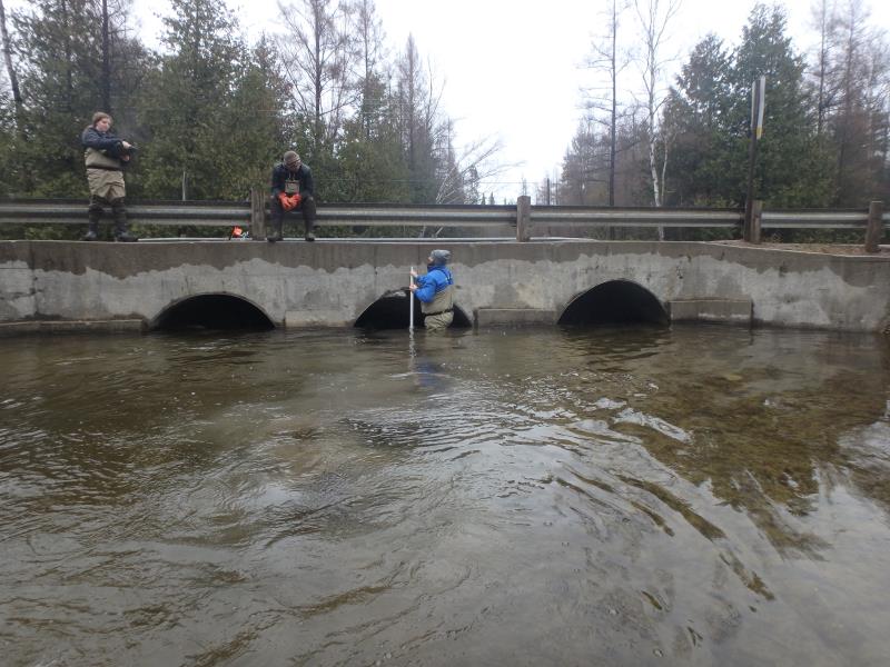
Inlet
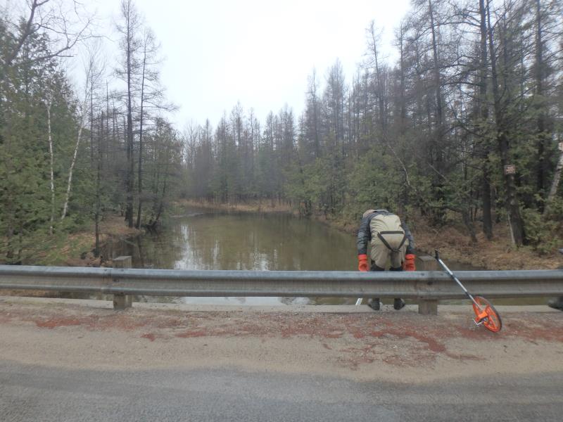
Upstream Conditions
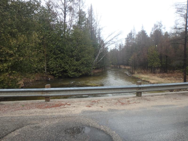
Downstream Conditions
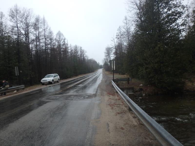
Road Approach - Left
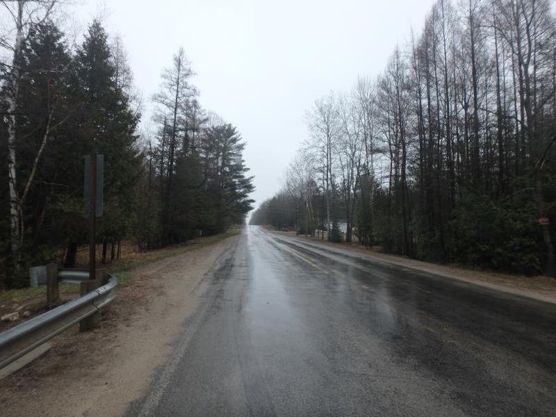
Road Approach - Right
Crossing Information
Type of Crossing: culvert(s)
Number of Structures: 3
Structure Shape: Ellipse
Inlet Type: Wingwall 30-70 Degree
Outlet Type: At Stream Grade
Structure Material: Metal
Structure Substrate: None
General Conditions: Good
Multiple Culverts/Spans | ||||
Culvert/Span | Width | Length | Height | Material |
1 |
5.9 ft. |
32 ft. |
3.8 ft. |
Metal |
2 |
5.9 ft. |
32 ft. |
3.8 ft. |
Metal |
3 |
5.9 ft. |
32 ft. |
3.8 ft. |
Metal |
Structure Interior: corrugated
Dimensions of Structure: Length 32 ft.
, Width 5.9 ft.
, Height 3.8 ft.
Structure is NOT Perched
Structure Inlet
Water Depth: 2.1 ft.
Water Velocity*: 3.6 ft./sec.
Structure Outlet
Water Depth: 2.2 ft.
Water Velocity*: 2.4 ft./sec.
*Water Velocities were measured 2 ft. below Surface
(with Meter)
Stream Information
Stream Flow: Less than Bankfull
Scour Pool: Length 27 ft.
, Width 48 ft.
, Depth 4.4 ft.
Riffle Information
Water Depth: 2.2 ft.
Bankfull Width: 32 ft.
Wetted Width: 29 ft.
Water Velocity: 3.1 ft./sec.
(Measured with Meter)
Dominant Substrate: Gravel
Road Information
Paved
County Road
Road Condition: Good
Road Width at Culvert: 24 ft.
Location of Low Point: Other
Runoff Path: Roadway
Fill Depth: 0 ft.
Slope: Vertical
Fill Depth: 0 ft.
Slope: Vertical
Approaches
Left Approach
Length: 0 ft.
Slope: Less Than 1%
Vegetation: None
LS Factor: 0.05
Erosion: 0 tons/year
Right Approach
Length: 170 ft.
Slope: 1% to 5%
Vegetation: None
LS Factor: 0.528
Erosion: 0.0712 tons/year
Erosion Information
Total Erosion at Crossing: 0.08 tons/year
Extent of Erosion: Minor
Erosion is occurring and corrective actions can be installed to address the problem.
Notes: Right bank behind wing wall is the detailed location of the erosion.
Location of Erosion | Erosion Dimensions | Eroded Material | Material Eroded | Total Erosion | ||
facing downstream | Length | Width | Depth | Reaching Stream? | (tons/year) | |
Right Downstream Embankment |
10 ft. |
6 ft. |
1 ft. |
yes |
Loam |
0.0088 |
Summary Information
Fish Passability 0
�