Road Stream Crossing Site TBW_TBMO06
Thunder Bay River Watershed, Thunder Bay River
County Road 487
Briley Twp,
Montmorency County
Information collected by:
Site Location
GPS Coordinates: 45.00216
, -84.14396
T30N
R2E
Sec 12
Owned by Private
Fish Passability 0
Structure is NOT Perched
Total Erosion: 0.1309 tons/year
Severity: Severe
Year Inventoried: 2017
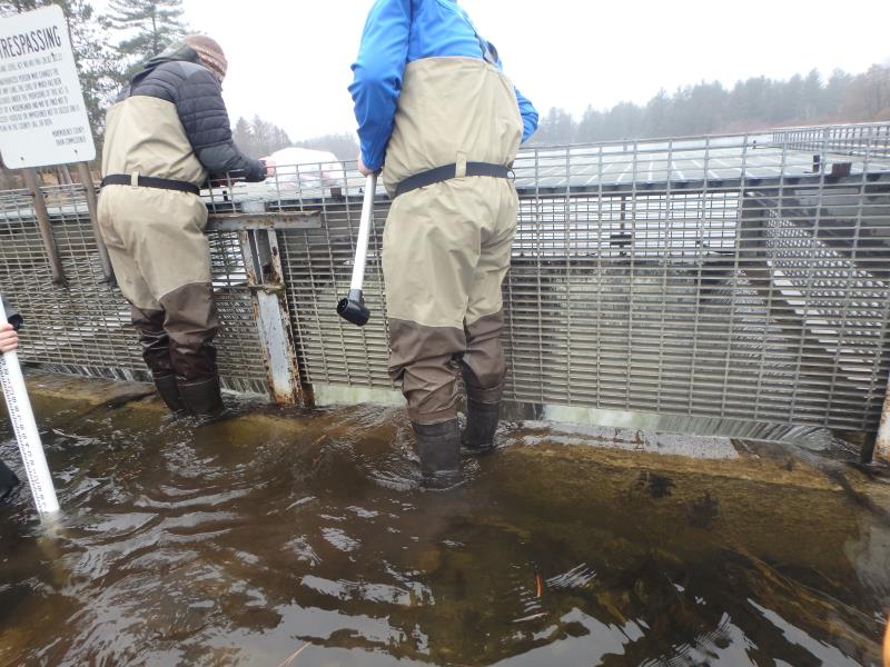
Inlet
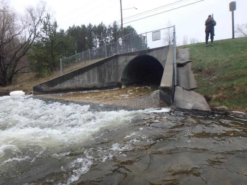
Outlet
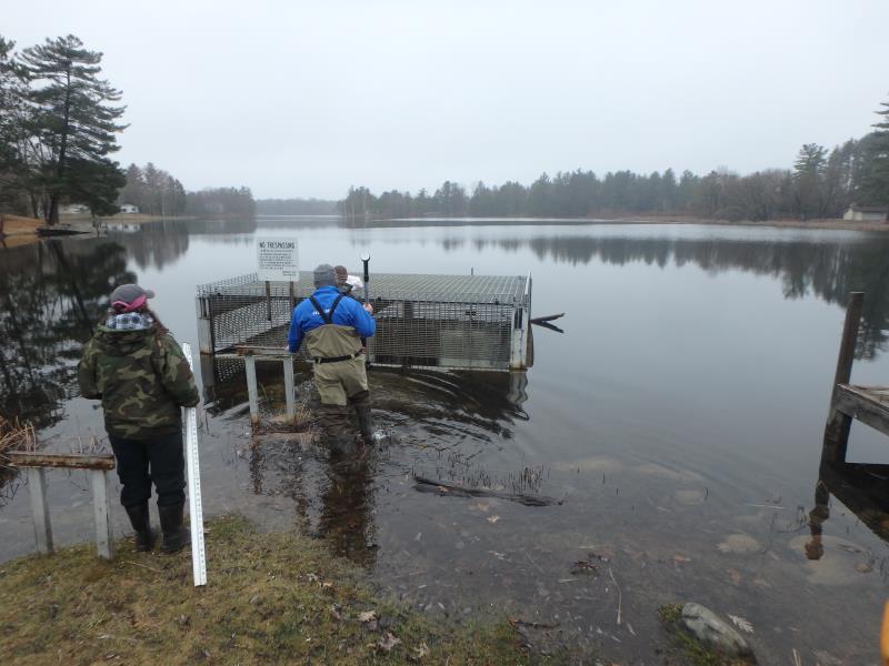
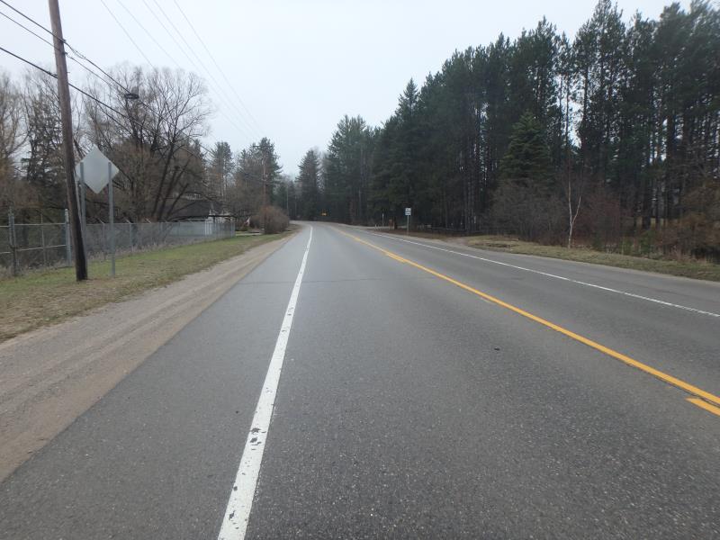
Upstream Conditions
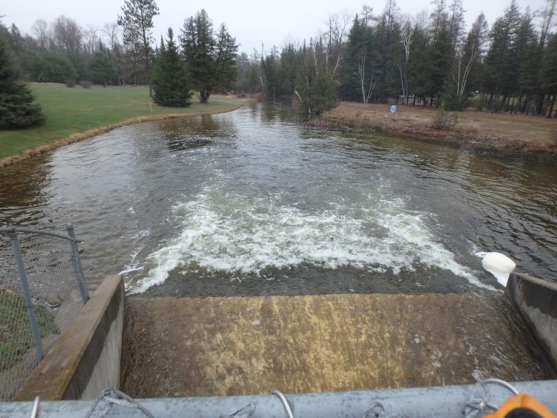
Downstream Conditions
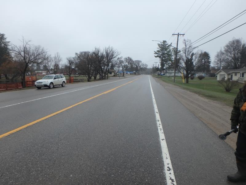
Road Approach - Left
Road Approach - Right
Crossing Information
Type of Crossing: Dam
Structure Shape: Square/Rectangle
Inlet Type: Other
Outlet Type: Outlet Apron
Structure Material: Concrete
Structure Substrate: None
General Conditions: Good
Structure Interior: smooth
Dimensions of Structure: Length 145 ft.
, Width 13 ft.
, Height 11 ft.
Structure is NOT Perched
Structure Inlet
Water Depth: 0.5 ft.
Embedded Depth of Structure: 0 ft.
Water Velocity*: 9 ft./sec.
Structure Outlet
Water Depth: 0.5 ft.
Embedded Depth of Structure: 0 ft.
Water Velocity*: 9.3 ft./sec.
*Water Velocities were measured 15 ft. below Surface
(with Meter)
Stream Information
Stream Flow: Less than Bankfull
Scour Pool: Length 135 ft.
, Width 108 ft.
, Depth 8 ft.
Riffle Information
Water Depth: 1.8 ft.
Bankfull Width: 52 ft.
Wetted Width: 49 ft.
Water Velocity: 1.2 ft./sec.
(Measured with Meter)
Dominant Substrate: Sand
Road Information
Paved
Town Road
Road Condition: Good
Road Width at Culvert: 33 ft.
Location of Low Point: At Stream
Runoff Path: Roadway
Embankments
Upstream
Fill Depth: 3 ft.
Slope: More than 1:2
Downstream
Fill Depth: 3 ft.
Slope: More than 1:2
Approaches
Left Approach
Length: 1000 ft.
Slope: Less Than 1%
Vegetation: None
LS Factor: 0.06
Erosion: 0.0655 tons/year
Right Approach
Length: 1000 ft.
Slope: Less Than 1%
Vegetation: None
LS Factor: 0.06
Erosion: 0.0655 tons/year
Erosion Information
Total Erosion at Crossing: 0.1309 tons/year
Extent of Erosion: Minor
Summary Information
Fish Passability 0
Fish Passage is an area of concern for this site.
Yes, expensive but is a complete fish passage barrier.
�