Road Stream Crossing Site TBW_TBMO07
Thunder Bay River Watershed, Haymeadow Creek
County Road 483/Main St
Briley Twp,
Montmorency County
Information collected by:
Site Location
GPS Coordinates: 45.00694
, -84.14413
T30N
R2E
Sec 12
Owned by Private
Structure is NOT Perched
Total Erosion: 0.716 tons/year
Severity: Minor
Year Inventoried: 2017
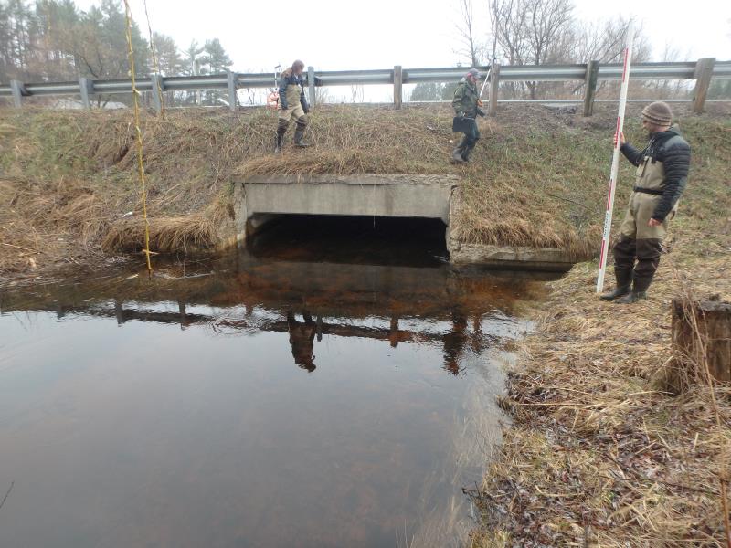
Inlet
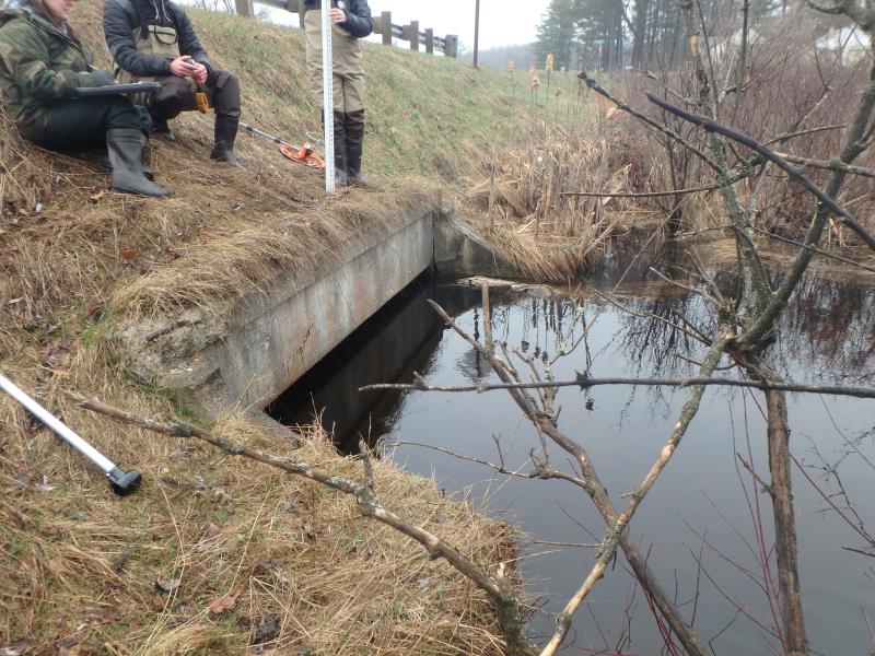
Outlet
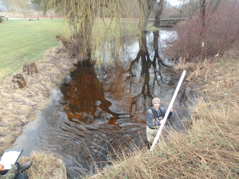
Upstream Conditions
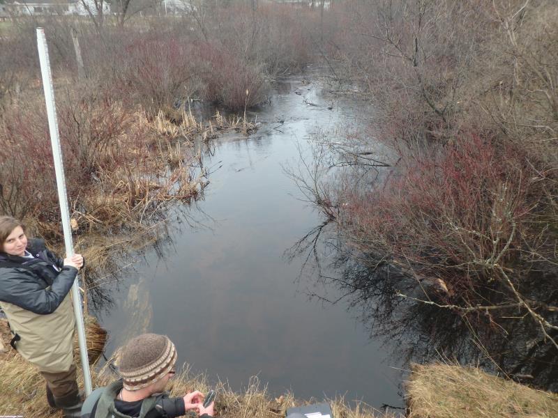
Downstream Conditions
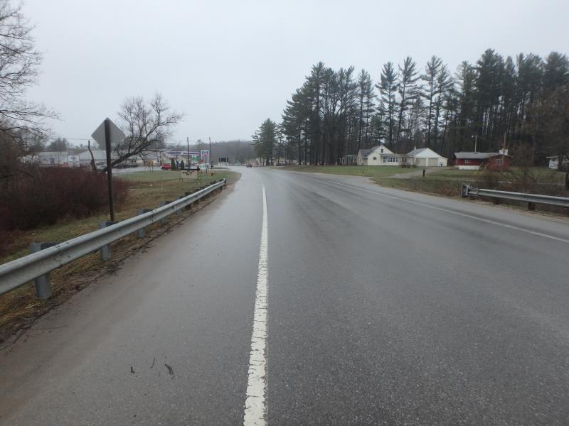
Road Approach - Left
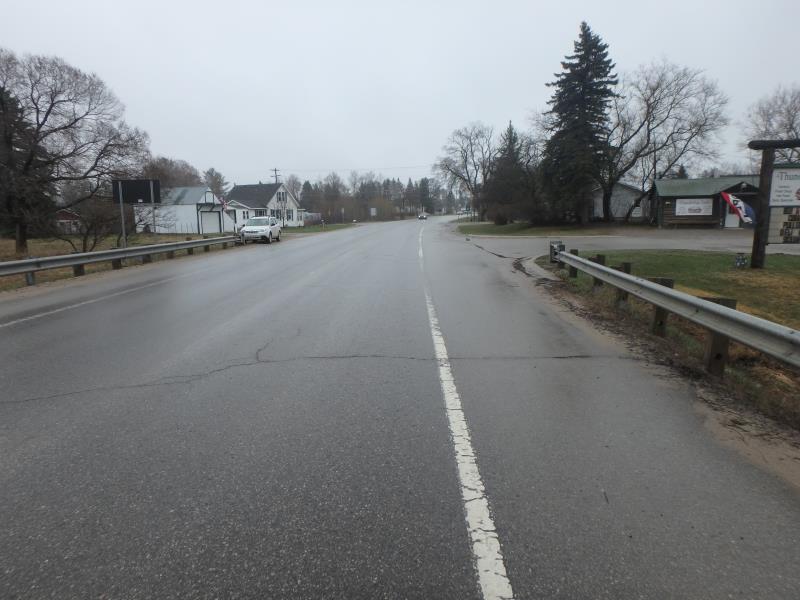
Road Approach - Right
Crossing Information
Type of Crossing: Other
Structure Shape: Open Bottom Square/Rectangle
Inlet Type: Headwall
Outlet Type: At Stream Grade
Structure Material: Concrete
Structure Substrate: Sand
General Conditions: Good
Structure Interior: smooth
Dimensions of Structure: Length 60 ft.
, Width 12 ft.
, Height 4.5 ft.
Structure is NOT Perched
Structure Inlet
Water Depth: 2.3 ft.
Embedded Depth of Structure: 0 ft.
Water Velocity*: 1.6 ft./sec.
Structure Outlet
Water Depth: 4.1 ft.
Embedded Depth of Structure: 0 ft.
Water Velocity*: 0.8 ft./sec.
*Water Velocities were measured 2 ft. below Surface
(with Meter)
Additional Comments
Footbridge upstream is not an issue, but appear as a road stream crossing on map, No riffle due to marsh area downstream.
Stream Information
Stream Flow: Less than Bankfull
Road Information
Paved
Other Road
Road Condition: Good
Road Width at Culvert: 38 ft.
Location of Low Point: Other
Runoff Path: Ditch
Embankments
Upstream
Fill Depth: 3.5 ft.
Slope: 1:1
Downstream
Fill Depth: 6 ft.
Slope: 1:1.5
Approaches
Left Approach
Length: 1000 ft.
Slope: 1% to 5%
Vegetation: Heavy
LS Factor: 0.57
Erosion: 0.716 tons/year
Right Approach
Length: 0 ft.
Slope: Less Than 1%
Vegetation: Heavy
LS Factor: 0.05
Erosion: 0 tons/year
Erosion Information
Total Erosion at Crossing: 0.716 tons/year
Extent of Erosion: Stabilized
Summary Information
�