Road Stream Crossing Site TBW_TBMO11
Thunder Bay River Watershed, Thunder Bay River
M 32
Rust Twp,
Montmorency County
Information collected by:
Site Location
GPS Coordinates: 45.0086
, -83.97243
T30N
R4E
Sec 08
Owned by Private
Structure is NOT Perched
Total Erosion: 0.7914 tons/year
Severity: Moderate
Year Inventoried: 2017

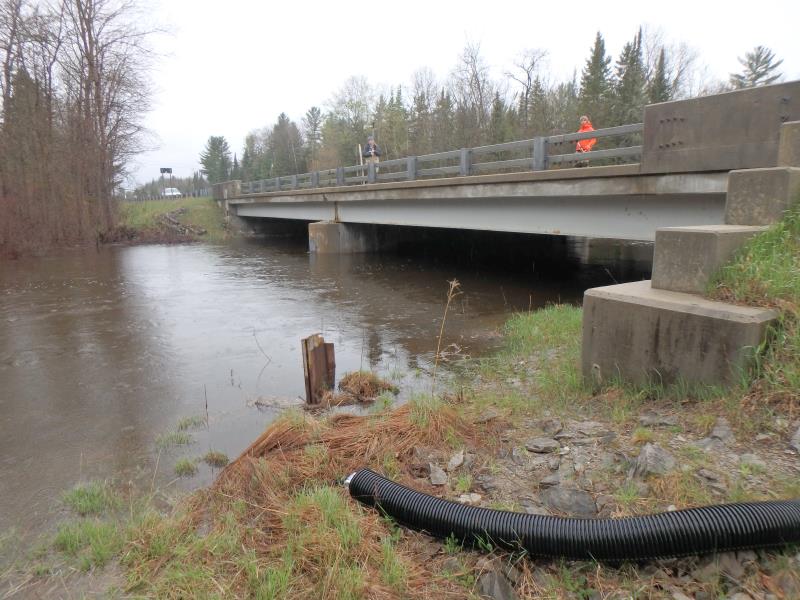
Inlet
Outlet
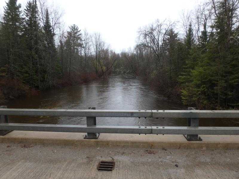
Upstream Conditions
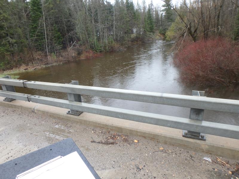
Downstream Conditions
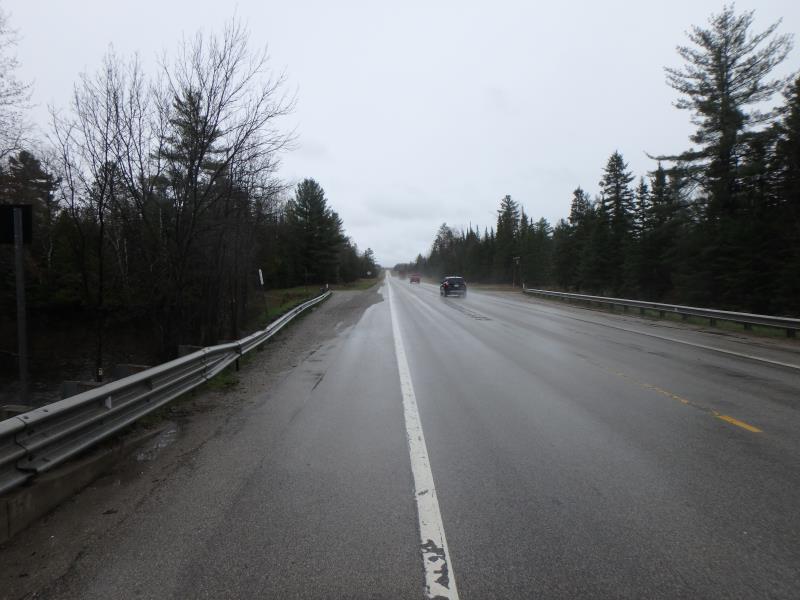
Road Approach - Left
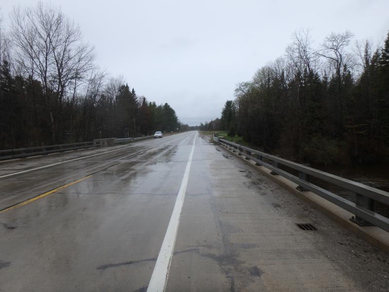
Road Approach - Right
Crossing Information
Type of Crossing: Bridge
Structure Shape: Open Bottom Square/Rectangle
Inlet Type: Wingwall 30-70 Degree
Outlet Type: At Stream Grade
Structure Material: Concrete
General Conditions: Good
Multiple Culverts/Spans | ||||
Culvert/Span | Width | Length | Height | Material |
1 |
48 ft. |
46 ft. |
8 ft. |
Concrete |
2 |
48 ft. |
46 ft. |
8 ft. |
Concrete |
Structure Interior: smooth
Dimensions of Structure: Length 46 ft.
, Width 96 ft.
, Height 8 ft.
Structure is NOT Perched
Structure Inlet
Water Depth: 4.5 ft.
Water Velocity*: 1.3 ft./sec.
Structure Outlet
Water Depth: 4.9 ft.
Water Velocity*: 1.7 ft./sec.
*Water Velocities were measured 1 ft. below Surface
(with Meter)
Additional Comments
TOO DEEP FOR RIFFLE MEASUREMENTS
Stream Information
Stream Flow: More than Bankfull
Road Information
Paved
State Road
Road Condition: Fair
Road Width at Culvert: 42 ft.
Location of Low Point: Other
Runoff Path: Ditch
Fill Depth: 0 ft.
Slope: Vertical
Fill Depth: 0 ft.
Slope: Vertical
Approaches
Left Approach
Length: 1000 ft.
Slope: 1% to 5%
Vegetation: Heavy
LS Factor: 0.57
Erosion: 0.7914 tons/year
Right Approach
Length: 0 ft.
Slope: Less Than 1%
Vegetation: Heavy
LS Factor: 0.05
Erosion: 0 tons/year
Erosion Information
Total Erosion at Crossing: 0.7914 tons/year
Extent of Erosion: Minor
Summary Information
These non-native species were observerd at this site: Spotted Knapweed
�