Road Stream Crossing Site TBW_TBMO12
Thunder Bay River Watershed, Thunder Bay River tributary
Ulshaffer Road
Rust Twp,
Montmorency County
Information collected by:
Site Location
GPS Coordinates: 45.01537
, -83.96185
T30N
R4E
Sec 09
Owned by Private
Fish Passability 1
Structure is NOT Perched
Total Erosion: 2.4589 tons/year
Severity: Moderate
Year Inventoried: 2017
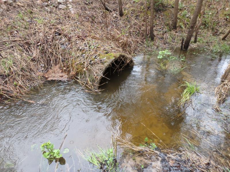
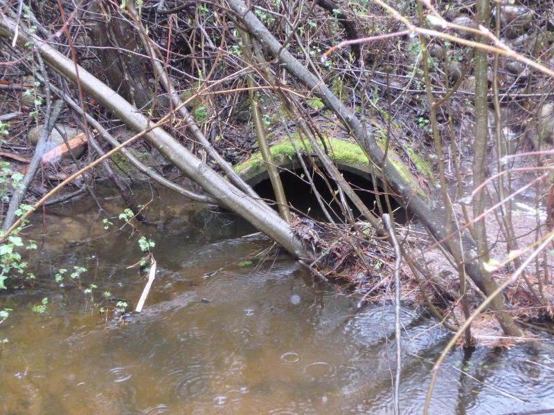
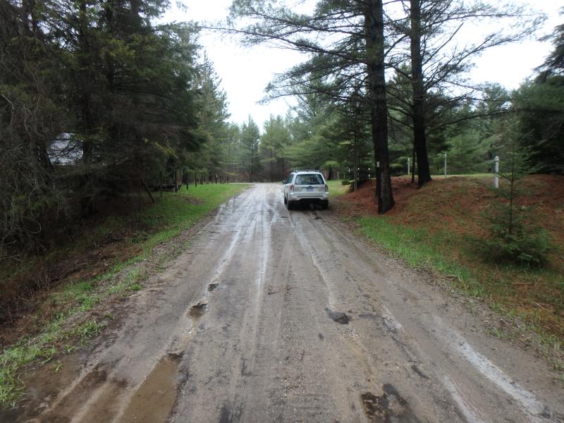
Inlet
Outlet
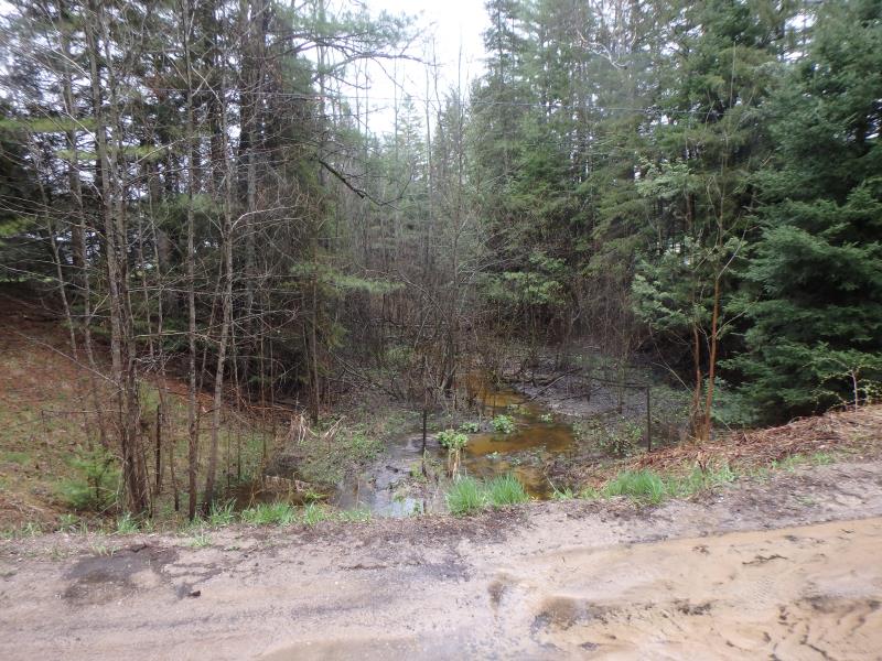
Upstream Conditions
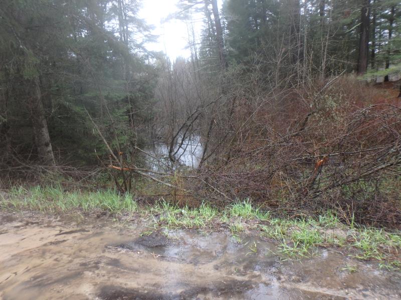
Downstream Conditions
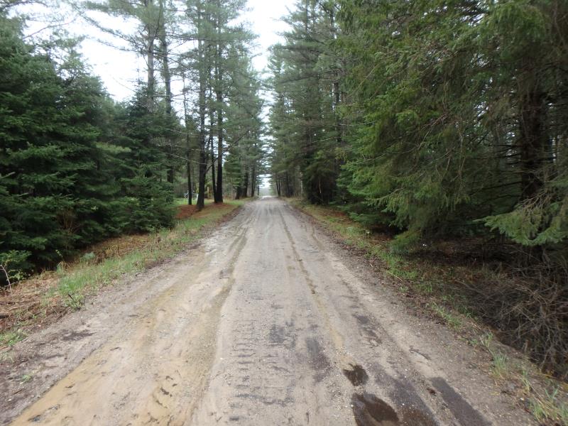
Road Approach - Left
Road Approach - Right
Crossing Information
Type of Crossing: culvert(s)
Number of Structures: 1
Structure Shape: Round
Inlet Type: Projecting
Outlet Type: At Stream Grade
Structure Material: Concrete
Structure Substrate: Sand
General Conditions: Poor
Dimensions of Structure: Length 35 ft.
, Width 3.1 ft.
, Height 3.1 ft.
Structure is NOT Perched
Structure Inlet
Water Depth: 2.1 ft.
Embedded Depth of Structure: 0 ft.
Water Velocity*: 1.2 ft./sec.
Structure Outlet
Water Depth: 2.2 ft.
Embedded Depth of Structure: 0.5 ft.
Water Velocity*: 0.8 ft./sec.
*Water Velocities were measured 1 ft. below Surface
(with Meter)
Additional Comments
UPSTREAM WATERFALL
Stream Information
Stream Flow: Less than Bankfull
Riffle Information
Water Depth: 1.3 ft.
Bankfull Width: 6.2 ft.
Wetted Width: 6 ft.
Water Velocity: 0.8 ft./sec.
(Measured with Meter)
Dominant Substrate: Sand
Road Information
Sand
County Road
Road Condition: Poor
Road Width at Culvert: 17 ft.
Location of Low Point: At Stream
Runoff Path: Roadway
Embankments
Upstream
Fill Depth: 5 ft.
Slope: More than 1:2
Downstream
Fill Depth: 5.2 ft.
Slope: 1:2
Approaches
Left Approach
Length: 650 ft.
Slope: 1% to 5%
Vegetation: Partial
LS Factor: 0.698
Erosion: 2.1232 tons/year
Right Approach
Length: 160 ft.
Slope: 1% to 5%
Vegetation: Partial
LS Factor: 0.448
Erosion: 0.3357 tons/year
Erosion Information
Total Erosion at Crossing: 2.4589 tons/year
Extent of Erosion: Minor
Summary Information
Fish Passability 1
Fish Passage is an area of concern for this site.
WATERFALL IMMEDIATELY UPSTREAM
A future visit to this site is recommended. SAND ROAD RUNOFF AND UPSTREAM WATERFALL FISH PASSAGE
�