Road Stream Crossing Site TBW_TBMO14
Thunder Bay River Watershed, Webber Creek tributary
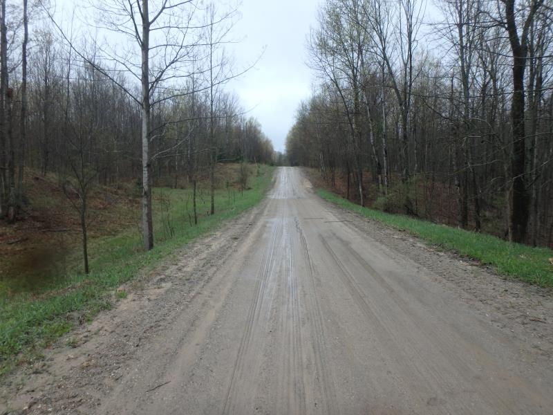
Rust Road
Rust Twp,
Montmorency County
Information collected by:
Site Location
GPS Coordinates: 44.98656
, -83.94096
T30N
R4E
Sec 22
Owned by Private
Fish Passability 0
Perch Height: 3.8 ft.
Total Erosion: 2.4622 tons/year
Severity: Severe
Year Inventoried: 2017
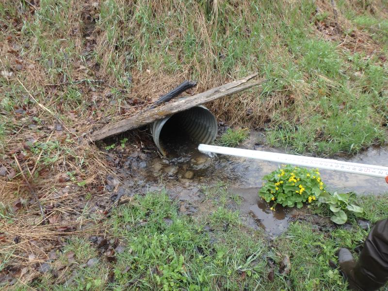
Inlet
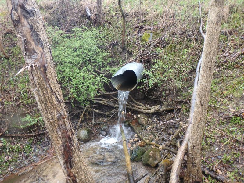
Outlet
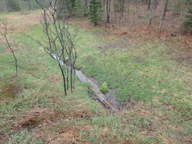
Upstream Conditions
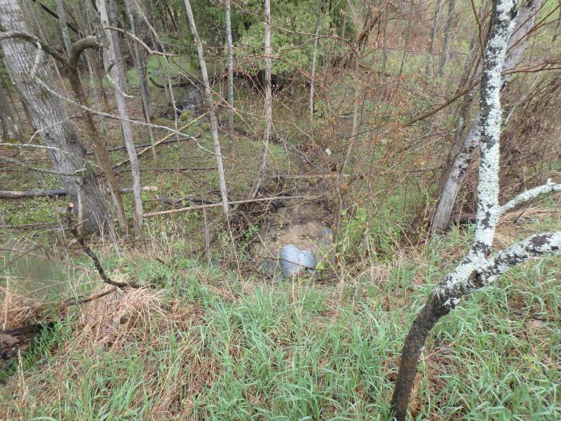
Downstream Conditions
Road Approach - Left

Road Approach - Right
Crossing Information
Type of Crossing: culvert(s)
Number of Structures: 1
Structure Shape: Round
Inlet Type: Projecting
Outlet Type: Freefall onto Riprap
Structure Material: Metal
Structure Substrate: None
General Conditions: Fair
Structure Interior: corrugated
Dimensions of Structure: Length 65 ft.
, Width 2.2 ft.
, Height 2.2 ft.
Percentage Crushed:
Inlet: 0%
Outlet: 1% to 25%
Perch Height: 3.8 ft.
Structure Inlet
Water Depth: 0.2 ft.
Embedded Depth of Structure: 0 ft.
Water Velocity*: 3.4 ft./sec.
Structure Outlet
Water Depth: 0.2 ft.
Embedded Depth of Structure: 0 ft.
Water Velocity*: 4.3 ft./sec.
*Water Velocities were measured at the Surface
(with Meter)
Stream Information
Stream Flow: Less than Bankfull
Scour Pool: Length 10 ft.
, Width 6 ft.
, Depth 1.5 ft.
Riffle Information
Water Depth: 0.5 ft.
Bankfull Width: 2.6 ft.
Wetted Width: 1.2 ft.
Water Velocity: 0.7 ft./sec.
(Measured with Meter)
Dominant Substrate: Sand
Road Information
Sand
County Road
Road Condition: Fair
Road Width at Culvert: 25 ft.
Location of Low Point: Other
Runoff Path: Roadway
Embankments
Upstream
Fill Depth: 7.5 ft.
Slope: More than 1:2
Downstream
Fill Depth: 10.5 ft.
Slope: More than 1:2
Approaches
Left Approach
Length: 0 ft.
Slope: Less Than 1%
Vegetation: Heavy
LS Factor: 0.05
Erosion: 0 tons/year
Right Approach
Length: 240 ft.
Slope: 6% to 10%
Vegetation: Heavy
LS Factor: 1.302
Erosion: 2.1521 tons/year
Erosion Information
Total Erosion at Crossing: 2.4622 tons/year
Extent of Erosion: Severe
Notes: PERCH ERODING BANK
Location of Erosion | Erosion Dimensions | Eroded Material | Material Eroded | Total Erosion | ||
facing downstream | Length | Width | Depth | Reaching Stream? | (tons/year) | |
Left Downstream Streambank |
10 ft. |
18 ft. |
1.5 ft. |
yes |
Loam |
0.264 |
Right Upstream Ditch |
12 ft. |
1 ft. |
0.2 ft. |
yes |
Sandy Loam |
0.0461 |
Summary Information
Fish Passability 0
Fish Passage is an area of concern for this site.
Fish passage and erosion; perch is eroding bank
A future visit to this site is recommended. PERCH AND EROSION
�