Road Stream Crossing Site TBW_TBMO17
Thunder Bay River Watershed, Unnamed
Carter Road
Rust Twp,
Montmorency County
Information collected by:
Site Location
GPS Coordinates: 44.95755
, -83.99533
T30N
R4E
Sec 29
Owned by Private
Fish Passability 0
Perch Height: 0.2 ft.
Total Erosion: 0.7811 tons/year
Severity: Severe
Year Inventoried: 2017
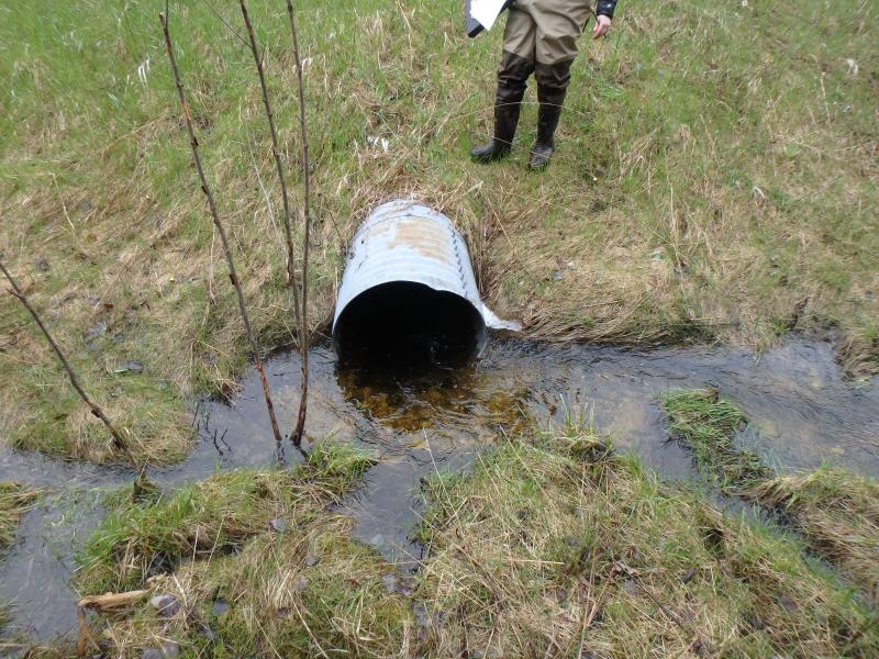
Inlet
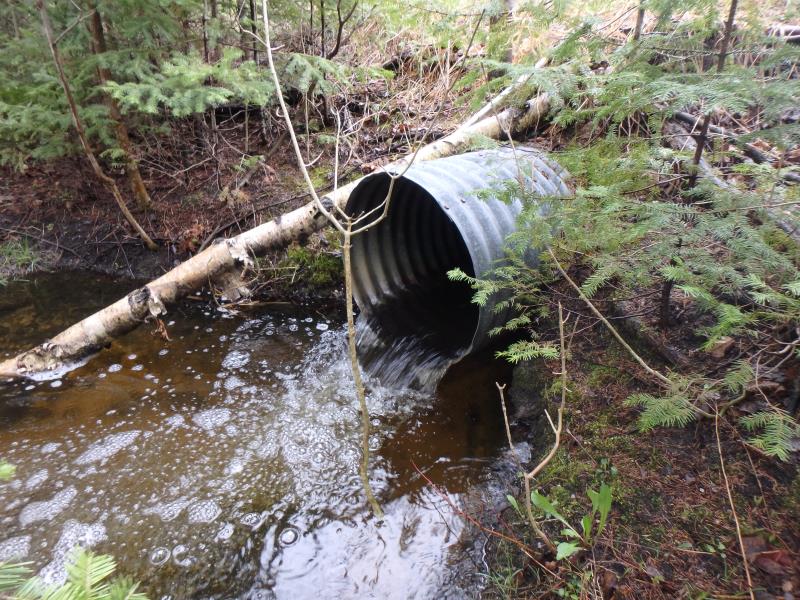
Outlet
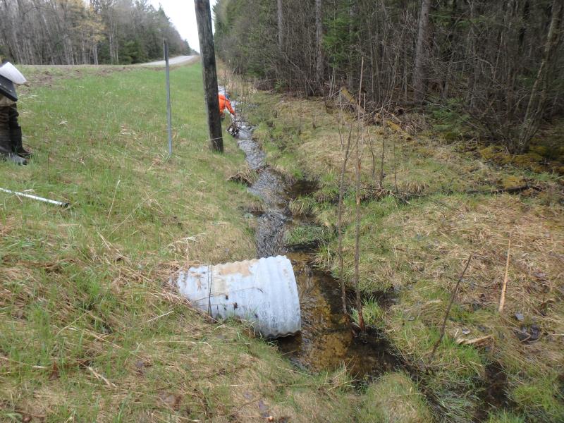
Upstream Conditions
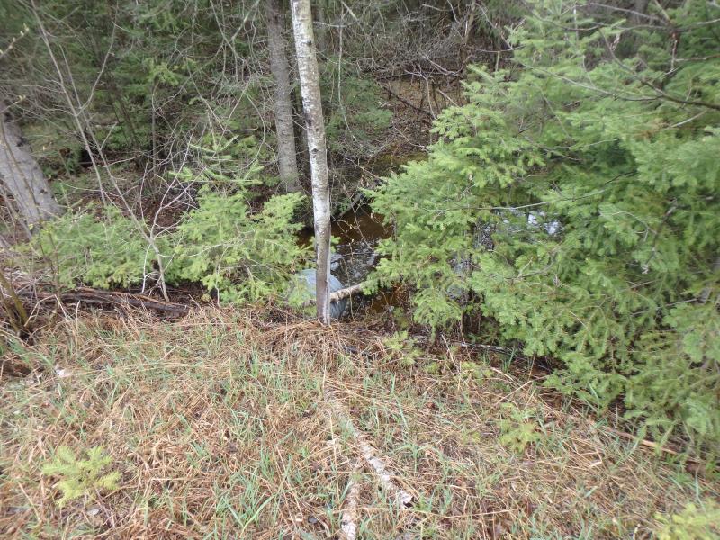
Downstream Conditions
Crossing Information
Type of Crossing: culvert(s)
Number of Structures: 1
Structure Shape: Round
Inlet Type: Projecting
Outlet Type: Freefall into Pool
Structure Material: Metal
Structure Substrate: None
General Conditions: Good
Structure Interior: corrugated
Dimensions of Structure: Length 74 ft.
, Width 2.1 ft.
, Height 2.1 ft.
Perch Height: 0.2 ft.
Structure Inlet
Water Depth: 0.6 ft.
Embedded Depth of Structure: 0 ft.
Water Velocity*: 1.8 ft./sec.
Structure Outlet
Water Depth: 0.4 ft.
Embedded Depth of Structure: 0 ft.
Water Velocity*: 4.7 ft./sec.
*Water Velocities were measured 0.1 ft. below Surface
(with Meter)
Stream Information
Stream Flow: Less than Bankfull
Scour Pool: Length 13 ft.
, Width 10 ft.
, Depth 2.5 ft.
Riffle Information
Water Depth: 0.7 ft.
Bankfull Width: 5.4 ft.
Wetted Width: 4 ft.
Water Velocity: 0.4 ft./sec.
(Measured with Meter)
Dominant Substrate: Sand
Road Information
Paved
County Road
Road Condition: Fair
Road Width at Culvert: 22 ft.
Location of Low Point: At Stream
Runoff Path: Ditch
Embankments
Upstream
Fill Depth: 4.5 ft.
Slope: More than 1:2
Downstream
Fill Depth: 5.7 ft.
Slope: More than 1:2
Approaches
Left Approach
Length: 1000 ft.
Slope: 1% to 5%
Vegetation: Heavy
LS Factor: 0.57
Erosion: 0.4145 tons/year
Right Approach
Length: 900 ft.
Slope: 1% to 5%
Vegetation: Heavy
LS Factor: 0.56
Erosion: 0.3665 tons/year
Erosion Information
Total Erosion at Crossing: 0.7811 tons/year
Extent of Erosion: Minor
Summary Information
Fish Passability 0
Fish Passage is an area of concern for this site.
PERCH AND VELOCITY BARRIER
These non-native species were observerd at this site: Mullein
�