Road Stream Crossing Site TBW_TBMO19
Thunder Bay River Watershed, Thunder Bay River
Hall Road
Avery Twp,
Montmorency County
Information collected by:
Site Location
GPS Coordinates: 44.96762
, -84.04179
T30N
R3E
Sec 26
Owned by Private
Fish Passability 0
Structure is NOT Perched
Total Erosion: 0.0662 tons/year
Severity: Severe
Year Inventoried: 2017
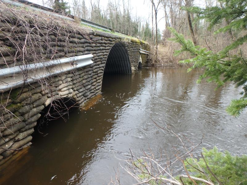
Inlet
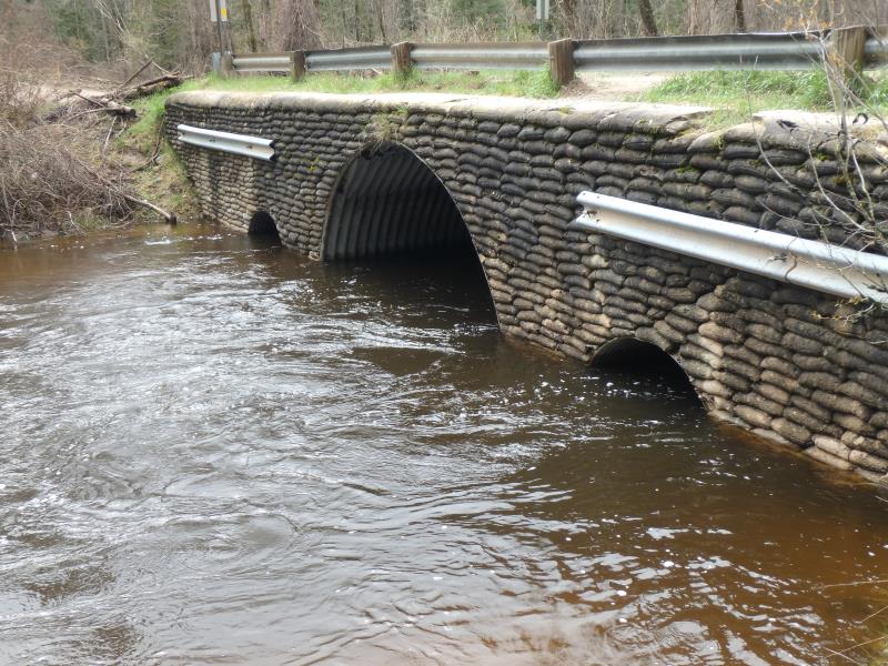
Outlet
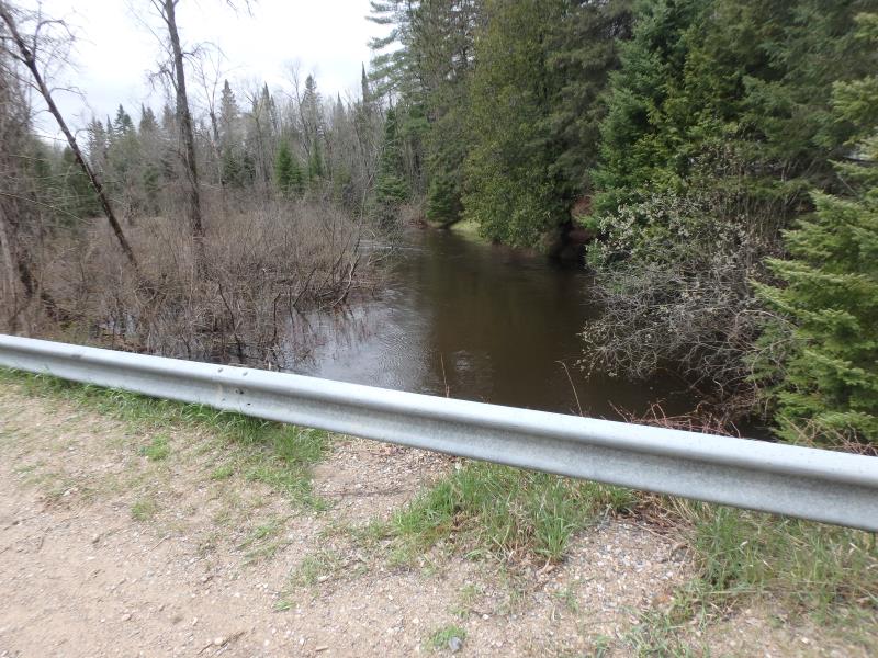
Upstream Conditions
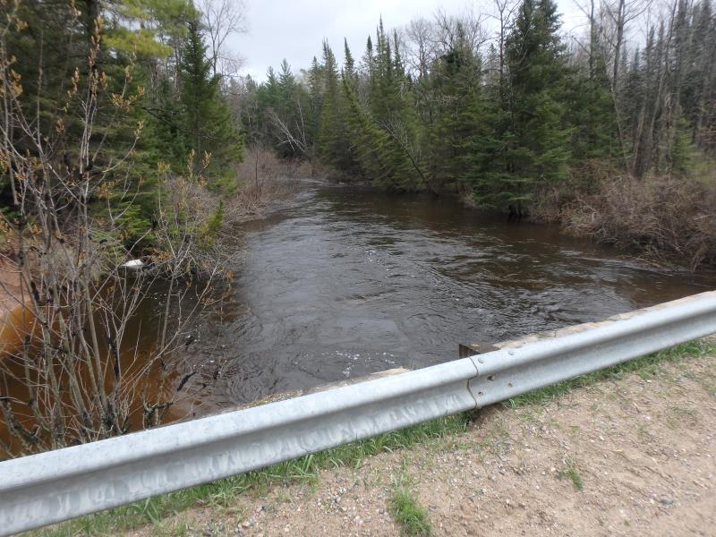
Downstream Conditions
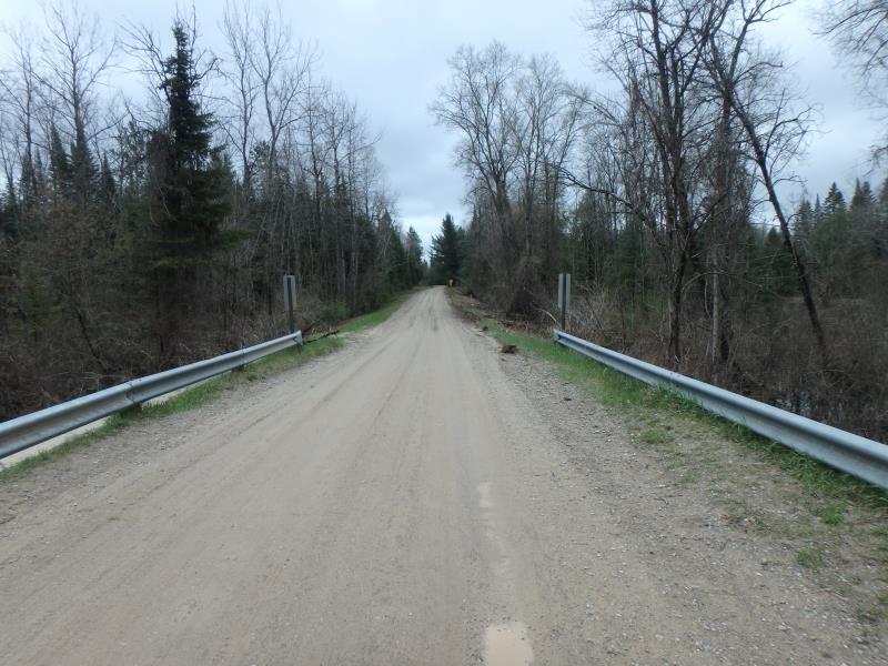
Road Approach - Left
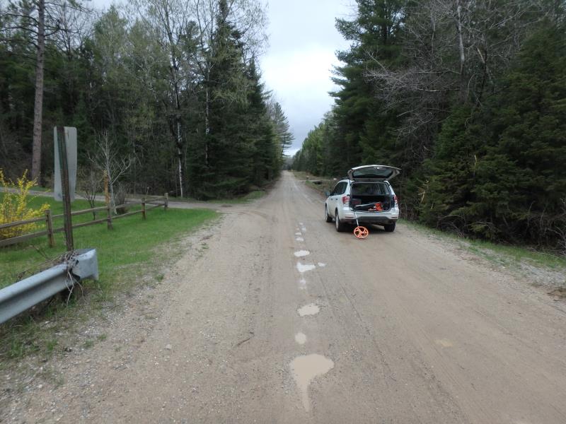
Road Approach - Left
Crossing Information
Type of Crossing: culvert(s)
Number of Structures: 3
Structure Shape: Pipe Arch
Inlet Type: Headwall
Outlet Type: At Stream Grade
Structure Material: Metal
Structure Substrate: None
General Conditions: Good
Multiple Culverts/Spans | ||||
Culvert/Span | Width | Length | Height | Material |
1 |
5.2 ft. |
28 ft. |
5.5 ft. |
Metal |
2 |
15 ft. |
28 ft. |
11 ft. |
Metal |
3 |
5.2 ft. |
28 ft. |
5.5 ft. |
Metal |
Structure Interior: corrugated
Dimensions of Structure: Length 28 ft.
, Width 15 ft.
, Height 11 ft.
Structure is NOT Perched
Structure Inlet
Water Depth: 4.5 ft.
Embedded Depth of Structure: 0 ft.
Water Velocity*: 4.3 ft./sec.
Structure Outlet
Water Depth: 5 ft.
Embedded Depth of Structure: 0 ft.
Water Velocity*: 5 ft./sec.
*Water Velocities were measured 0.5 ft. below Surface
(with Meter)
Stream Information
Stream Flow: Bankfull
Scour Pool: Length 30 ft.
, Width 6.5 ft.
, Depth 6 ft.
Riffle Information
Water Depth: 6 ft.
Bankfull Width: 40 ft.
Wetted Width: 40 ft.
Water Velocity: 1.8 ft./sec.
(Measured with Meter)
Dominant Substrate: Clay
Road Information
Sand
County Road
Road Condition: Fair
Road Width at Culvert: 22 ft.
Location of Low Point: At Stream
Runoff Path: Ditch
Embankments
Upstream
Fill Depth: 0.5 ft.
Slope: Vertical
Downstream
Fill Depth: 1 ft.
Slope: Vertical
Approaches
Left Approach
Length: 0 ft.
Slope: 1% to 5%
Vegetation: Heavy
LS Factor: 0.26
Erosion: 0 tons/year
Right Approach
Length: 0 ft.
Slope: 1% to 5%
Vegetation: Heavy
LS Factor: 0.26
Erosion: 0 tons/year
Erosion Information
Total Erosion at Crossing: 0.0662 tons/year
Extent of Erosion: Moderate
Notes: SCOUR POOL EROSION
Location of Erosion | Erosion Dimensions | Eroded Material | Material Eroded | Total Erosion | ||
facing downstream | Length | Width | Depth | Reaching Stream? | (tons/year) | |
Left Downstream Streambank |
9 ft. |
28 ft. |
1.5 ft. |
yes |
Clay |
0.0662 |
Summary Information
Fish Passability 0
Fish Passage is an area of concern for this site.
VELOCITY
�