Road Stream Crossing Site TBW_TBMO191
Thunder Bay River Watershed, Beaver Creek
Brush creek Truck Trail
Hillman Twp,
Montmorency County
Information collected by:
Site Location
GPS Coordinates: 45.08358
, -84.07069
T31N
R3E
Sec 16
Fish Passability 1
Structure is NOT Perched
Total Erosion: 0 tons/year
Severity: Minor
Year Inventoried: 2017
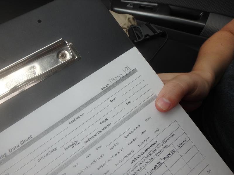
Site ID
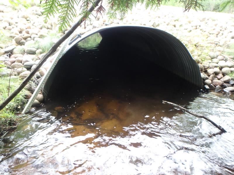
Inlet
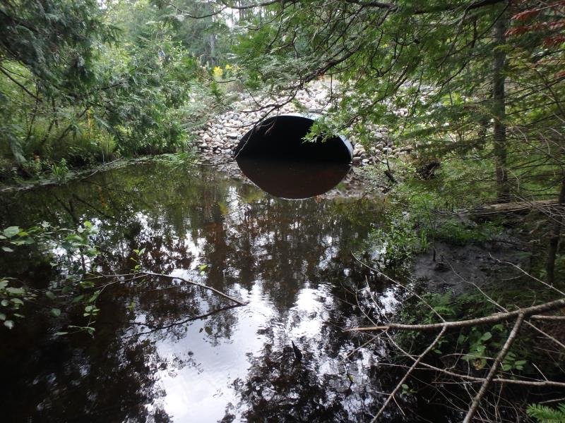
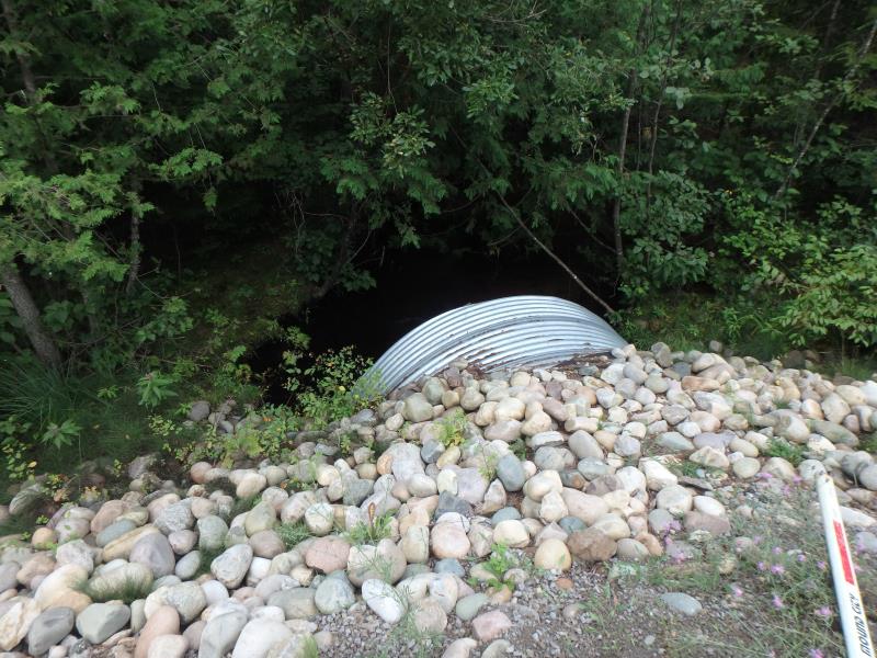
Outlet
Upstream Conditions
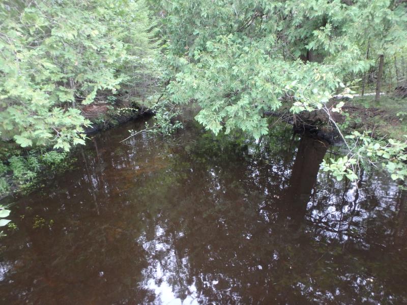
Downstream Conditions
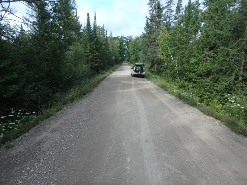
Road Approach - Left
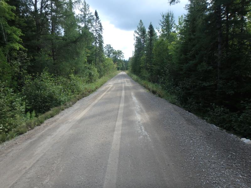
Road Approach - Right
Crossing Information
Type of Crossing: culvert(s)
Number of Structures: 1
Structure Shape: Ellipse
Inlet Type: Projecting
Outlet Type: At Stream Grade
Structure Material: Metal
Structure Substrate: Sand
General Conditions: Good
Structure Interior: corrugated
Dimensions of Structure: Length 43 ft.
, Width 10 ft.
, Height 7 ft.
Structure is NOT Perched
Structure Inlet
Water Depth: 1.2 ft.
Embedded Depth of Structure: 2 ft.
Water Velocity*: 0.6 ft./sec.
Structure Outlet
Water Depth: 1.3 ft.
Embedded Depth of Structure: 2 ft.
Water Velocity*: 0.3 ft./sec.
*Water Velocities were measured 0.4 ft. below Surface
(with Meter)
Stream Information
Stream Flow: Less than Bankfull
Riffle Information
Water Depth: 1.1 ft.
Bankfull Width: 20 ft.
Wetted Width: 17 ft.
Water Velocity: 1.1 ft./sec.
(Measured with Meter)
Dominant Substrate: Sand
Road Information
Sand
County Road
Road Condition: Fair
Road Width at Culvert: 17 ft.
Location of Low Point: Other
Runoff Path: Roadway
Embankments
Upstream
Fill Depth: 3 ft.
Slope: More than 1:2
Downstream
Fill Depth: 3.4 ft.
Slope: 1:2
Approaches
Left Approach
Length: 0 ft.
Slope: 1% to 5%
Vegetation: Heavy
LS Factor: 0.26
Erosion: 0 tons/year
Right Approach
Length: 0 ft.
Slope: 1% to 5%
Vegetation: Heavy
LS Factor: 0.26
Erosion: 0 tons/year
Erosion Information
Total Erosion at Crossing: 0 tons/year
Extent of Erosion: Minor
Summary Information
Fish Passability 1
These non-native species were observerd at this site: Queen Anne's Lace, Spotted Knapweed and Bull Thistle
�