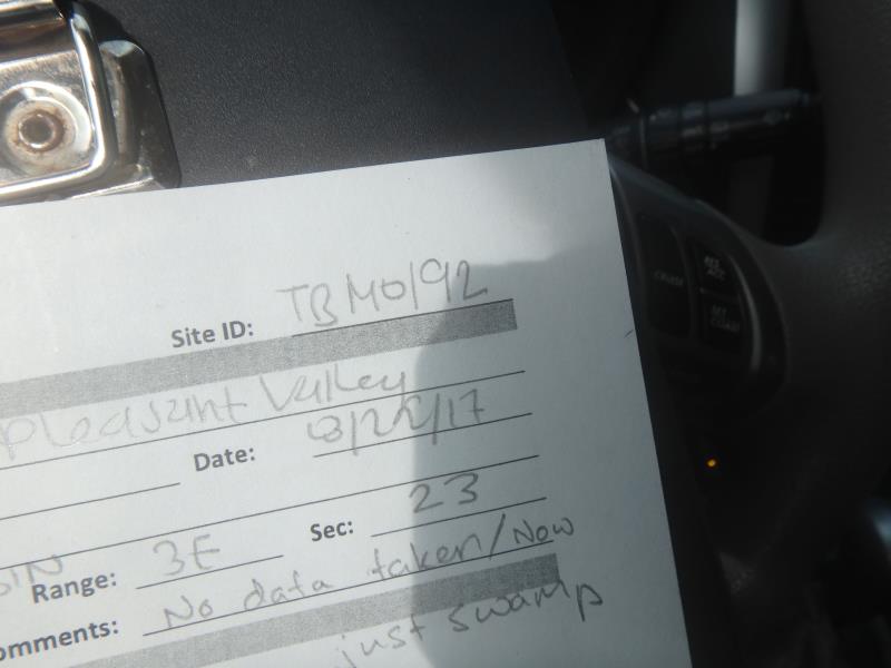
Road Stream Crossing Site TBW_TBMO192
Thunder Bay River Watershed, Miller Creek
Pleasant Valley Road
Hillman Twp,
Montmorency County
Information collected by:
Site Location
GPS Coordinates: 45.05826
, -84.04135
T31N
R3E
Sec 23
Year Inventoried: 2017
Site ID
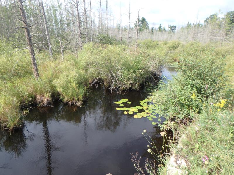
Upstream Conditions
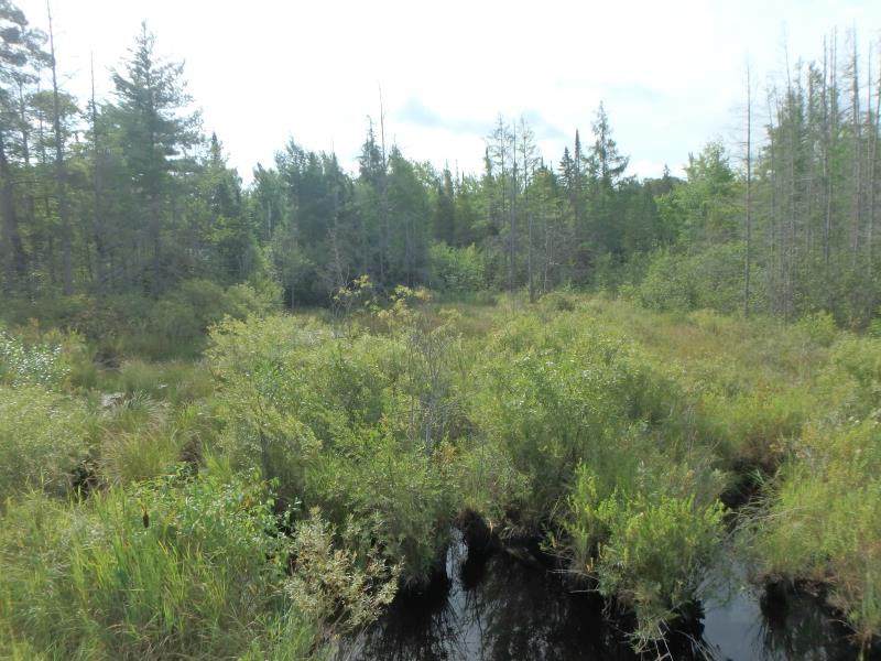
Upstream Conditions
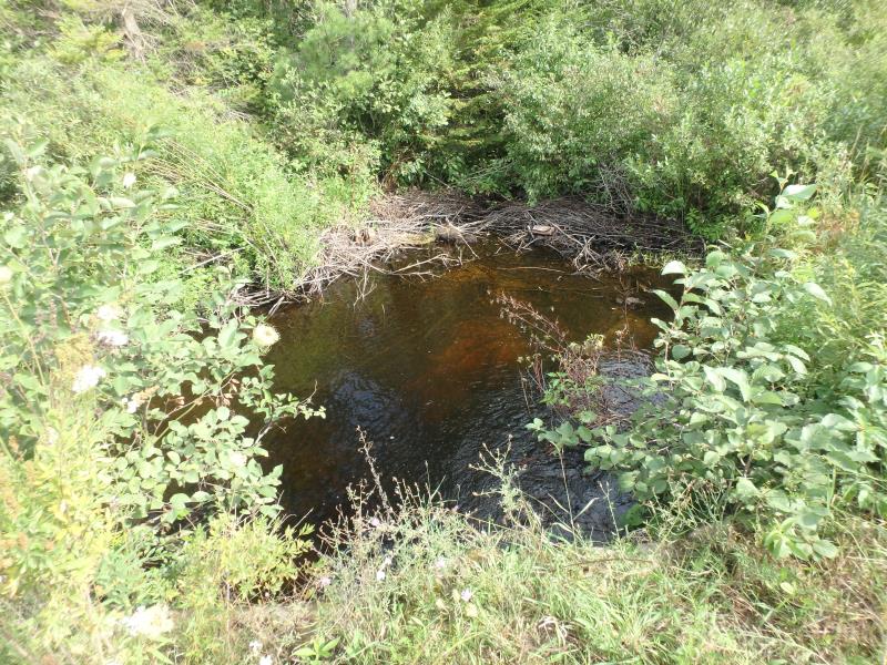
Downstream Conditions
Downstream Conditions
Crossing Information
Type of Crossing: culvert(s)
Number of Structures: 1
Structure Shape: Pipe Arch
Inlet Type: Headwall
Outlet Type: At Stream Grade
Structure Material: Metal
Structure Substrate: None
General Conditions: Poor
Structure Interior: corrugated
Additional Comments
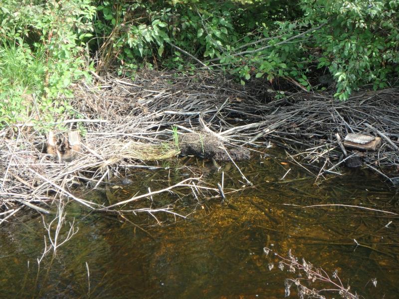
NO DATA TAKEN ENTIRE UPSTREAM IS SWAMP BUT CULVERT AND CHANNEL IS LOST DOWNSTREAM DUE TO BEAVER JAM (SEE PHOTOS & SKETCH)
Road Information
Sand
County Road
Road Condition: Fair
Erosion Information
Summary Information
�