Road Stream Crossing Site TBW_TBMO193
Thunder Bay River Watershed, Miller Creek
Pleasant Valley Road
Hillman Twp,
Montmorency County
Information collected by:
Site Location
GPS Coordinates: 45.05877
, -83.99911
T31N
R4E
Sec 19
Fish Passability 0.5
Structure is NOT Perched
Total Erosion: 0.0452 tons/year
Severity: Moderate
Year Inventoried: 2017
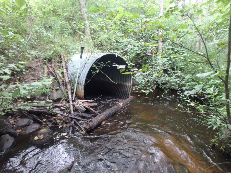
Inlet
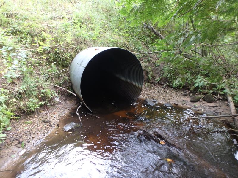
Outlet
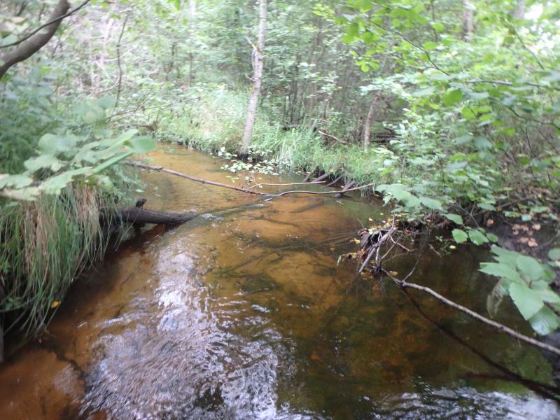
Upstream Conditions
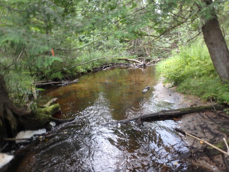
Downstream Conditions
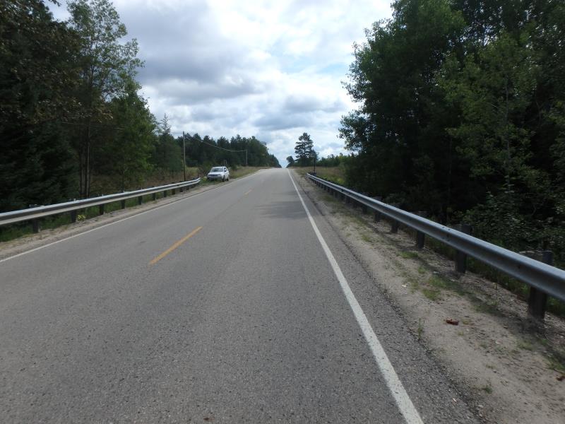
Road Approach - Left
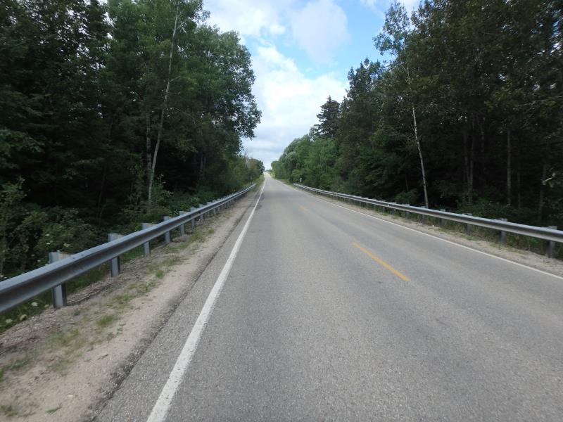
Road Approach - Right
Crossing Information
Type of Crossing: culvert(s)
Number of Structures: 1
Structure Shape: Round
Inlet Type: Projecting
Outlet Type: At Stream Grade
Structure Material: Metal
Structure Substrate: None
General Conditions: Good
Structure Interior: corrugated
Dimensions of Structure: Length 75 ft.
, Width 5 ft.
, Height 5 ft.
Structure is NOT Perched
Structure Inlet
Water Depth: 1 ft.
Embedded Depth of Structure: 0 ft.
Water Velocity*: 2 ft./sec.
Structure Outlet
Water Depth: 0.8 ft.
Embedded Depth of Structure: 0 ft.
Water Velocity*: 2.5 ft./sec.
*Water Velocities were measured 0.5 ft. below Surface
(with Meter)
Stream Information
Stream Flow: Less than Bankfull
Upstream Pond: Length 11.5 ft.
, Width 5 ft.
, Depth 1.4 ft.
Riffle Information
Water Depth: 0.9 ft.
Bankfull Width: 17 ft.
Wetted Width: 14 ft.
Water Velocity: 0.8 ft./sec.
(Measured with Meter)
Dominant Substrate: Sand
Road Information
Paved
County Road
Road Condition: Fair
Road Width at Culvert: 22 ft.
Location of Low Point: Other
Runoff Path: Ditch
Embankments
Upstream
Fill Depth: 10.4 ft.
Slope: 1:2
Downstream
Fill Depth: 12 ft.
Slope: 1:1
Approaches
Left Approach
Length: 1000 ft.
Slope: Less Than 1%
Vegetation: Heavy
LS Factor: 0.05
Erosion: 0.0364 tons/year
Right Approach
Length: 0 ft.
Slope: 1% to 5%
Vegetation: Heavy
LS Factor: 0.26
Erosion: 0 tons/year
Erosion Information
Total Erosion at Crossing: 0.0452 tons/year
Extent of Erosion: Minor
Notes: EMBANKMENT EROSION LOOKS TO BE DUE TO HIGH FLOW
Location of Erosion | Erosion Dimensions | Eroded Material | Material Eroded | Total Erosion | ||
facing downstream | Length | Width | Depth | Reaching Stream? | (tons/year) | |
Right Upstream Embankment |
5 ft. |
4 ft. |
2 ft. |
yes |
Loam |
0.0088 |
Summary Information
Fish Passability 0.5
Fish Passage is an area of concern for this site.
VELOCITY
These non-native species were observerd at this site: Queen Anne's Lace
�