Road Stream Crossing Site TBW_TBMO20
Thunder Bay River Watershed, Thunder Bay River tributary
Hall Road
Avery Twp,
Montmorency County
Information collected by:
Site Location
GPS Coordinates: 44.96849
, -84.04169
T30N
R3E
Sec 26
Owned by Private
Fish Passability 0
Structure is NOT Perched
Total Erosion: 0 tons/year
Severity: Severe
Year Inventoried: 2017
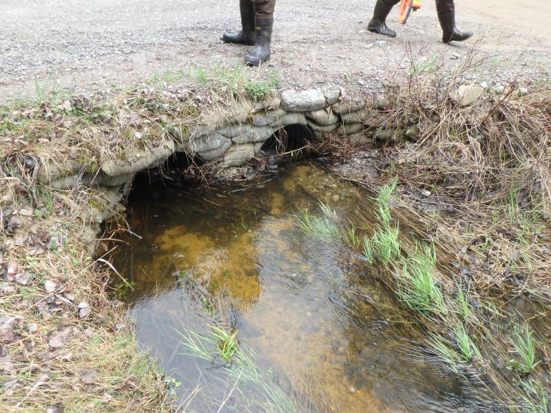
Inlet
Outlet
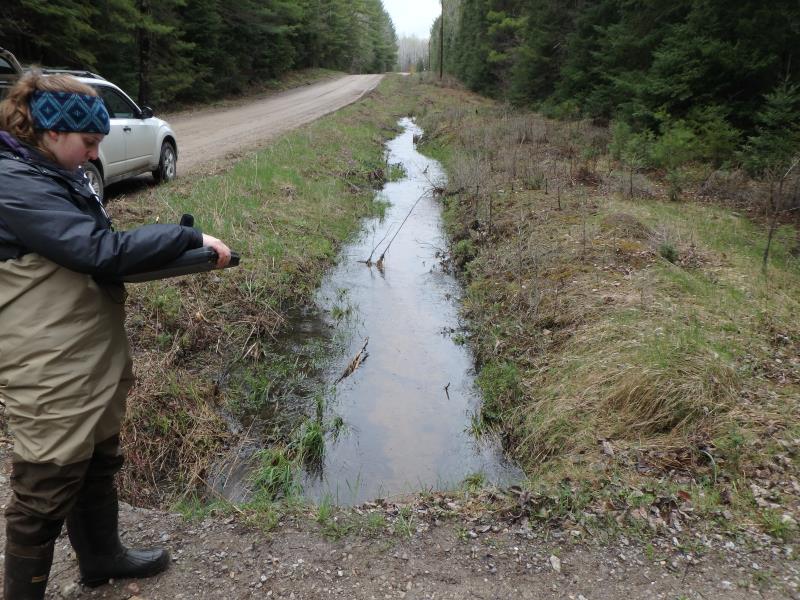
Upstream Conditions
Road Approach - Left
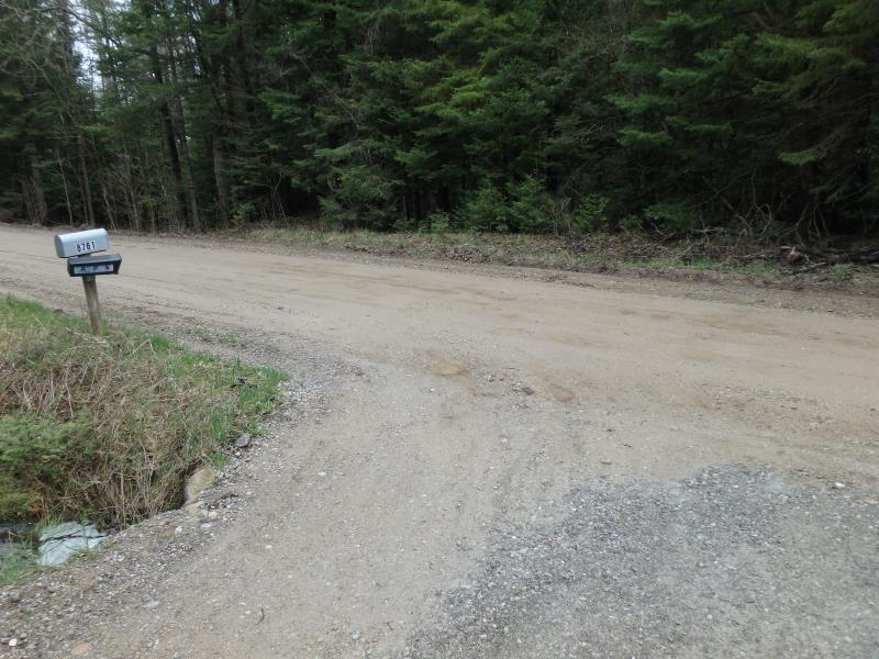
Road Approach - Right
Crossing Information
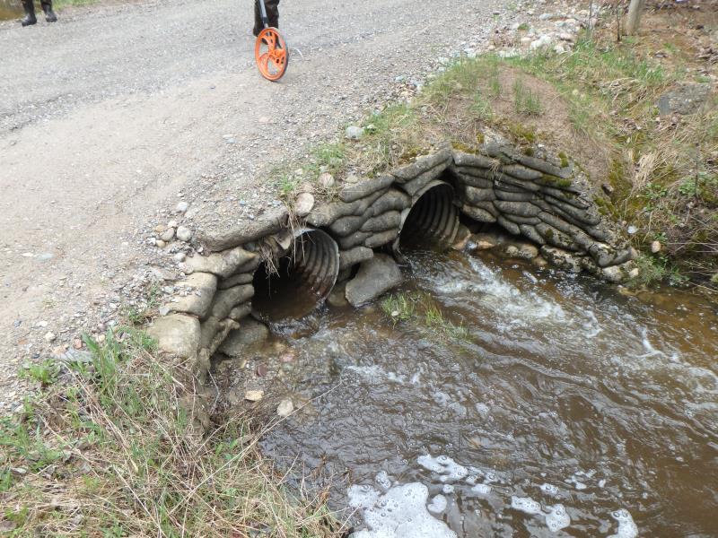
Type of Crossing: culvert(s)
Number of Structures: 2
Structure Shape: Round
Inlet Type: Headwall
Outlet Type: At Stream Grade
Structure Material: Metal
Structure Substrate: None
General Conditions: Good
Multiple Culverts/Spans | ||||
Culvert/Span | Width | Length | Height | Material |
1 |
2.1 ft. |
20 ft. |
2.1 ft. |
Metal |
2 |
2.1 ft. |
20 ft. |
2.1 ft. |
Metal |
Structure Interior: corrugated
Dimensions of Structure: Length 20 ft.
, Width 2.1 ft.
, Height 2.1 ft.
Percentage Plugged:
Inlet: 0%
Outlet: 0%
In Pipe: 1% to 25%
Structure is NOT Perched
Structure Inlet
Water Depth: 0.9 ft.
Embedded Depth of Structure: 0 ft.
Water Velocity*: 2.5 ft./sec.
Structure Outlet
Water Depth: 0.6 ft.
Embedded Depth of Structure: 0 ft.
Water Velocity*: 6.8 ft./sec.
*Water Velocities were measured 0.2 ft. below Surface
(with Meter)
Additional Comments
PRIVATE DRIVE: 8761 HALL RD
Stream Information
Stream Flow: Less than Bankfull
Riffle Information
Water Depth: 0.8 ft.
Bankfull Width: 4 ft.
Wetted Width: 2.8 ft.
Water Velocity: 3.4 ft./sec.
(Measured with Meter)
Dominant Substrate: Gravel
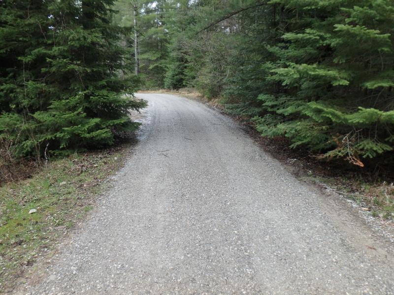
Road Information
Gravel
Private Road
Road Width at Culvert: 20 ft.
Location of Low Point: At Stream
Runoff Path: Ditch
Embankments
Upstream
Fill Depth: 0.3 ft.
Slope: Vertical
Downstream
Fill Depth: 0.3 ft.
Slope: Vertical
Approaches
Left Approach
Length: 0 ft.
Slope: 1% to 5%
Vegetation: None
LS Factor: 0.17
Erosion: 0 tons/year
Right Approach
Length: 0 ft.
Slope: Less Than 1%
Vegetation: None
LS Factor: 0.05
Erosion: 0 tons/year
Erosion Information
Total Erosion at Crossing: 0 tons/year
Extent of Erosion: Stabilized
Summary Information
Fish Passability 0
Fish Passage is an area of concern for this site.
VELOCITY
�